31 Freeman Ln Port Townsend, WA 98368
Estimated Value: $471,093 - $626,000
3
Beds
2
Baths
1,456
Sq Ft
$373/Sq Ft
Est. Value
About This Home
This home is located at 31 Freeman Ln, Port Townsend, WA 98368 and is currently estimated at $543,273, approximately $373 per square foot. 31 Freeman Ln is a home located in Jefferson County with nearby schools including Salish Coast Elementary School, Blue Heron Middle School, and Port Townsend High School.
Ownership History
Date
Name
Owned For
Owner Type
Purchase Details
Closed on
Mar 15, 2005
Sold by
Robbins Lawrence K and Robbin Sarah
Bought by
Witners Thomas G and Thompson Marquita R
Current Estimated Value
Home Financials for this Owner
Home Financials are based on the most recent Mortgage that was taken out on this home.
Original Mortgage
$179,100
Outstanding Balance
$90,799
Interest Rate
5.61%
Mortgage Type
New Conventional
Estimated Equity
$452,474
Create a Home Valuation Report for This Property
The Home Valuation Report is an in-depth analysis detailing your home's value as well as a comparison with similar homes in the area
Home Values in the Area
Average Home Value in this Area
Purchase History
| Date | Buyer | Sale Price | Title Company |
|---|---|---|---|
| Witners Thomas G | $199,000 | Clallam Title Co |
Source: Public Records
Mortgage History
| Date | Status | Borrower | Loan Amount |
|---|---|---|---|
| Open | Witners Thomas G | $179,100 |
Source: Public Records
Tax History Compared to Growth
Tax History
| Year | Tax Paid | Tax Assessment Tax Assessment Total Assessment is a certain percentage of the fair market value that is determined by local assessors to be the total taxable value of land and additions on the property. | Land | Improvement |
|---|---|---|---|---|
| 2024 | $2,763 | $336,152 | $75,000 | $261,152 |
| 2023 | $2,763 | $319,955 | $70,000 | $249,955 |
| 2022 | $2,452 | $314,955 | $65,000 | $249,955 |
| 2021 | $2,425 | $236,798 | $47,438 | $189,360 |
| 2020 | $2,354 | $218,955 | $45,375 | $173,580 |
| 2019 | $2,100 | $209,003 | $43,313 | $165,690 |
| 2018 | $2,106 | $199,050 | $41,250 | $157,800 |
| 2017 | $1,887 | $173,668 | $36,250 | $137,418 |
| 2016 | $1,472 | $173,668 | $36,250 | $137,418 |
| 2015 | $1,478 | $150,586 | $36,250 | $114,336 |
| 2014 | -- | $150,586 | $36,250 | $114,336 |
| 2013 | -- | $150,585 | $36,250 | $114,335 |
Source: Public Records
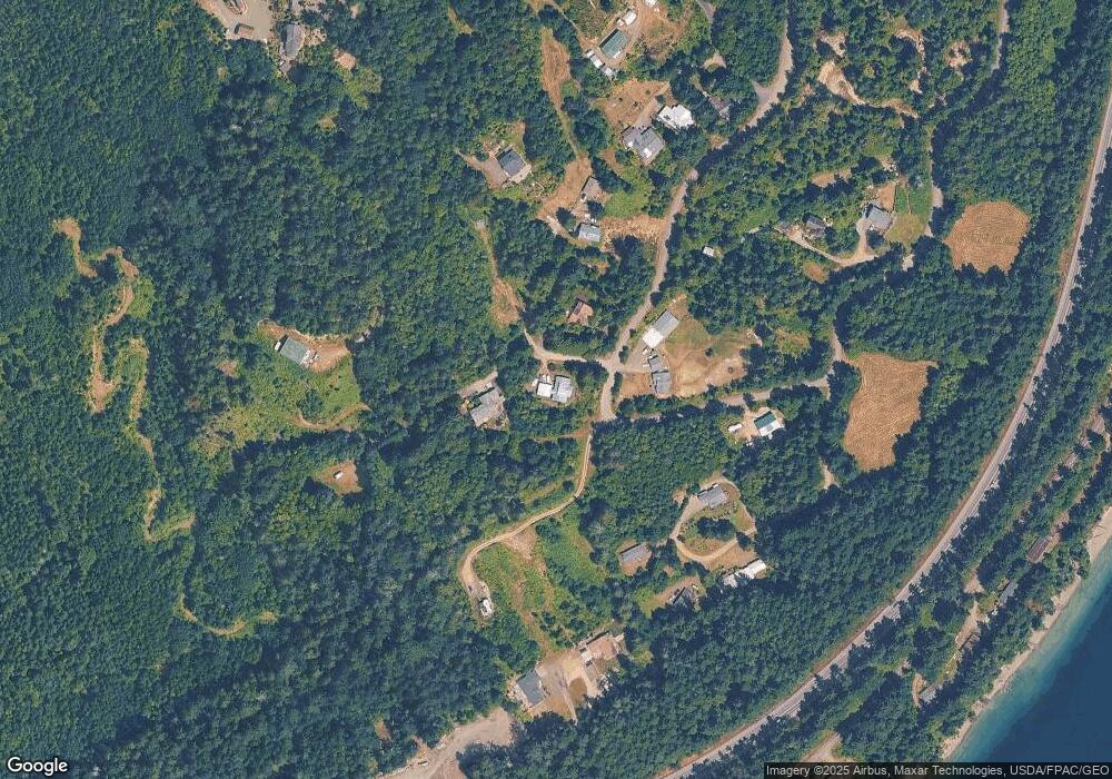
Map
Nearby Homes
- NKA Lots 41 up Holland Dr Unit 45 - 48 Honeymoon La
- 9999 Holland Dr
- 4809 Old Gardiner Rd
- 813 Fairmount Rd
- 9999 View Ridge - Lot 4 Dr
- Lot 4 View Ridge Dr
- 56 Bayview Ln
- 6062 State Route 20 Unit 35
- 6062 State Route 20 Unit 55
- 681 Bachelor Rd
- 690 Naylor Creek Rd
- 6192 State Route 20
- 9999 S Discovery Rd
- 409 Lane de Chantal
- 9999 Old Schoolhouse Rd
- 999 Old Schoolhouse Rd Unit Gardiner Rd
- 10955 NKA Rhody Dr
- 12 Loretta Ln
- 13 Loretta Ln
- 51 Thomas Dr
- 0 Carli Court Lot 62 Unit 916405
- 0 Carli Court Lot 62
- 41 Manzanita Rd
- 9999 Honeymoon Ln
- 1111 Honeymoon Ln
- 24 Freeman Ln
- 62 Carli Ct
- 11 Fulton Way
- 401 Honeymoon Ln
- 0 29&30 Manzanita Rd
- 0 Lot 28 Manzanita Rd
- 0 lot 30 Manzanita Rd
- 0 Honeymoon Ln
- 0 L2 Freeman Ln
- 9999 Fulton Ln
- 72 Carli Ct
- 115 Freeman Ln
- 74 Commercial Ave
- 54 Commercial Ave