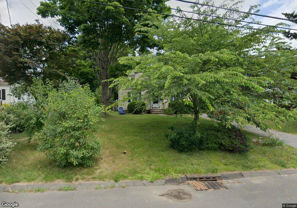
31 Gaymoor Dr Stamford, CT 06907
Springdale NeighborhoodEstimated Value: $589,000 - $734,000
4
Beds
2
Baths
1,400
Sq Ft
$488/Sq Ft
Est. Value
About This Home
This home is located at 31 Gaymoor Dr, Stamford, CT 06907 and is currently estimated at $683,073, approximately $487 per square foot. 31 Gaymoor Dr is a home located in Fairfield County with nearby schools including Springdale Elementary School, Dolan School, and Stamford High School.
Ownership History
Date
Name
Owned For
Owner Type
Purchase Details
Closed on
Sep 20, 1996
Sold by
Waldo Stanley C Est and Skovgaard
Bought by
King Thomas S and Francavilla Kathryn A
Current Estimated Value
Home Financials for this Owner
Home Financials are based on the most recent Mortgage that was taken out on this home.
Original Mortgage
$129,600
Interest Rate
7.89%
Mortgage Type
Purchase Money Mortgage
Create a Home Valuation Report for This Property
The Home Valuation Report is an in-depth analysis detailing your home's value as well as a comparison with similar homes in the area
Home Values in the Area
Average Home Value in this Area
Purchase History
| Date | Buyer | Sale Price | Title Company |
|---|---|---|---|
| King Thomas S | $162,000 | -- | |
| King Thomas S | $162,000 | -- |
Source: Public Records
Mortgage History
| Date | Status | Borrower | Loan Amount |
|---|---|---|---|
| Closed | King Thomas S | $113,000 | |
| Closed | King Thomas S | $113,000 | |
| Closed | King Thomas S | $129,600 |
Source: Public Records
Tax History Compared to Growth
Tax History
| Year | Tax Paid | Tax Assessment Tax Assessment Total Assessment is a certain percentage of the fair market value that is determined by local assessors to be the total taxable value of land and additions on the property. | Land | Improvement |
|---|---|---|---|---|
| 2025 | $9,135 | $386,100 | $252,770 | $133,330 |
| 2024 | $8,934 | $386,100 | $252,770 | $133,330 |
| 2023 | $9,598 | $386,100 | $252,770 | $133,330 |
| 2022 | $7,693 | $287,680 | $190,140 | $97,540 |
| 2021 | $7,609 | $287,680 | $190,140 | $97,540 |
| 2020 | $7,414 | $287,680 | $190,140 | $97,540 |
| 2019 | $7,414 | $287,680 | $190,140 | $97,540 |
| 2018 | $7,140 | $287,680 | $190,140 | $97,540 |
| 2017 | $6,937 | $266,810 | $176,090 | $90,720 |
| 2016 | $6,742 | $266,810 | $176,090 | $90,720 |
| 2015 | $6,566 | $266,810 | $176,090 | $90,720 |
| 2014 | $6,347 | $266,810 | $176,090 | $90,720 |
Source: Public Records
Map
Nearby Homes
- 23 Oenoke Place
- 17 Oenoke Place
- 1157 Hope St
- 19 Woodway Rd Unit 14
- 1148 Hope St
- 77 Putter Dr
- 16 Columbus Place
- 95 Columbus Place Unit 6
- 83 Mulberry St
- 44 Brundage St
- 393 Upper Haig Ave
- 358 Hoyt St
- 32 Kensett Ln Unit 32
- 72 Kensett Ln
- 970 Hope St Unit 4J
- 44 Scofield Farms
- 41 Wakemore St
- 1552 Hope St
- 910 Hope St Unit 5B
- 900 Hope St Unit 8C