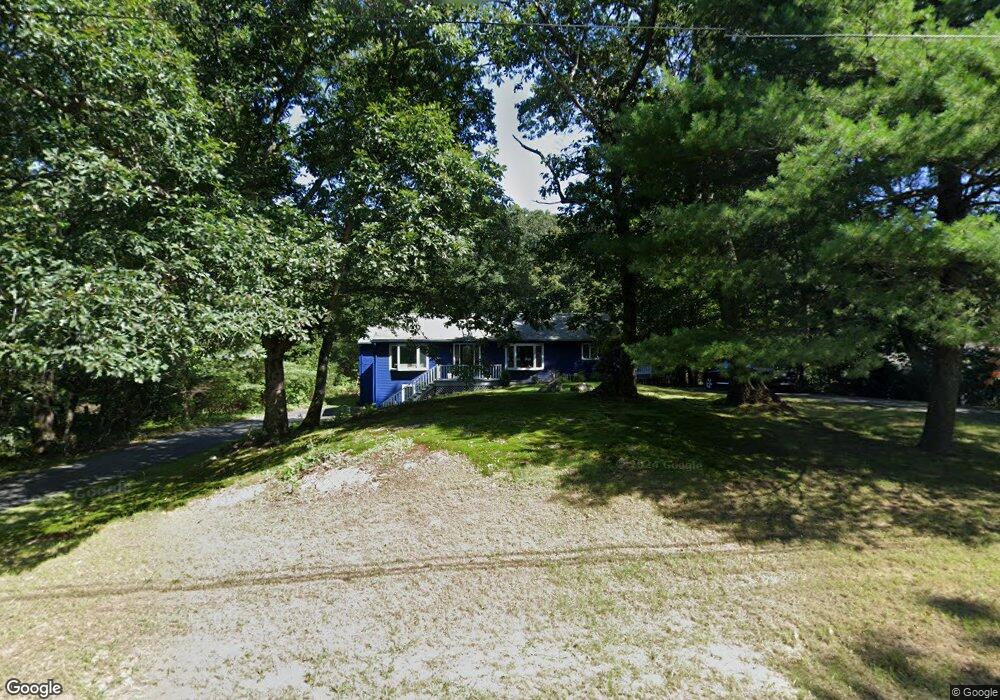
31 Great Rock Rd Sherborn, MA 01770
Estimated Value: $1,183,000 - $1,341,000
4
Beds
3
Baths
3,181
Sq Ft
$399/Sq Ft
Est. Value
About This Home
This home is located at 31 Great Rock Rd, Sherborn, MA 01770 and is currently estimated at $1,268,335, approximately $398 per square foot. 31 Great Rock Rd is a home located in Middlesex County with nearby schools including Pine Hill Elementary School, Dover-Sherborn Regional Middle School, and Dover-Sherborn Regional High School.
Ownership History
Date
Name
Owned For
Owner Type
Purchase Details
Closed on
Apr 11, 2003
Sold by
Desmarais Richard J and Desmarais Therese K
Bought by
Miller Judith A and Keavany William S
Current Estimated Value
Home Financials for this Owner
Home Financials are based on the most recent Mortgage that was taken out on this home.
Original Mortgage
$528,000
Outstanding Balance
$228,657
Interest Rate
5.86%
Mortgage Type
Purchase Money Mortgage
Estimated Equity
$1,039,678
Create a Home Valuation Report for This Property
The Home Valuation Report is an in-depth analysis detailing your home's value as well as a comparison with similar homes in the area
Home Values in the Area
Average Home Value in this Area
Purchase History
| Date | Buyer | Sale Price | Title Company |
|---|---|---|---|
| Miller Judith A | $660,000 | -- |
Source: Public Records
Mortgage History
| Date | Status | Borrower | Loan Amount |
|---|---|---|---|
| Open | Miller Judith A | $528,000 |
Source: Public Records
Tax History Compared to Growth
Tax History
| Year | Tax Paid | Tax Assessment Tax Assessment Total Assessment is a certain percentage of the fair market value that is determined by local assessors to be the total taxable value of land and additions on the property. | Land | Improvement |
|---|---|---|---|---|
| 2025 | $15,346 | $925,600 | $470,000 | $455,600 |
| 2024 | $14,804 | $873,400 | $417,800 | $455,600 |
| 2023 | $15,301 | $849,600 | $417,800 | $431,800 |
| 2022 | $14,442 | $758,900 | $406,300 | $352,600 |
| 2021 | $14,457 | $736,500 | $406,300 | $330,200 |
| 2020 | $14,332 | $736,500 | $406,300 | $330,200 |
| 2019 | $12,916 | $658,300 | $406,300 | $252,000 |
| 2018 | $12,705 | $658,300 | $406,300 | $252,000 |
| 2017 | $13,189 | $644,600 | $406,300 | $238,300 |
| 2016 | $13,259 | $644,600 | $406,300 | $238,300 |
| 2015 | $12,842 | $632,000 | $393,300 | $238,700 |
| 2014 | $12,416 | $610,400 | $381,300 | $229,100 |
Source: Public Records
Map
Nearby Homes
- 14 Sewall Brook Ln
- 65 Farm Road Lot 6
- 7 Fawn Rd
- 2 Surrey Ln
- 4 Green Ln
- 32 Lake St
- 220 S Main St
- 61 Old Orchard Rd
- 15 Wyndemere Ln
- 105 N Main St
- 53 Yorkshire Rd
- 114 Farm St
- 20 Nason Hill Rd
- 25 Yorkshire Rd
- 8 Greystone Rd
- 18 Wildwood Dr
- 39 Indian Ridge Rd
- 38 Bullard St
- 16 Wayside Rd Unit 14
- 16 Wayside Rd
- 35 Great Rock Rd
- 29 Great Rock Rd
- 30 Great Rock Rd
- 28 Great Rock Rd
- 25 Great Rock Rd
- 34 Great Rock Rd Unit rear
- 34 Great Rock Rd
- 37 Great Rock Rd
- 36 Great Rock Rd
- 24 Great Rock Rd
- 23 Great Rock Rd
- 41 Great Rock Rd
- 22 Great Rock Rd
- 40 Great Rock Rd
- 9 Peckham Hill Rd
- 19 Great Rock Rd
- 20 Great Rock Rd
- 42 Great Rock Rd
- 17 Great Rock Rd
- 60 Farm Rd