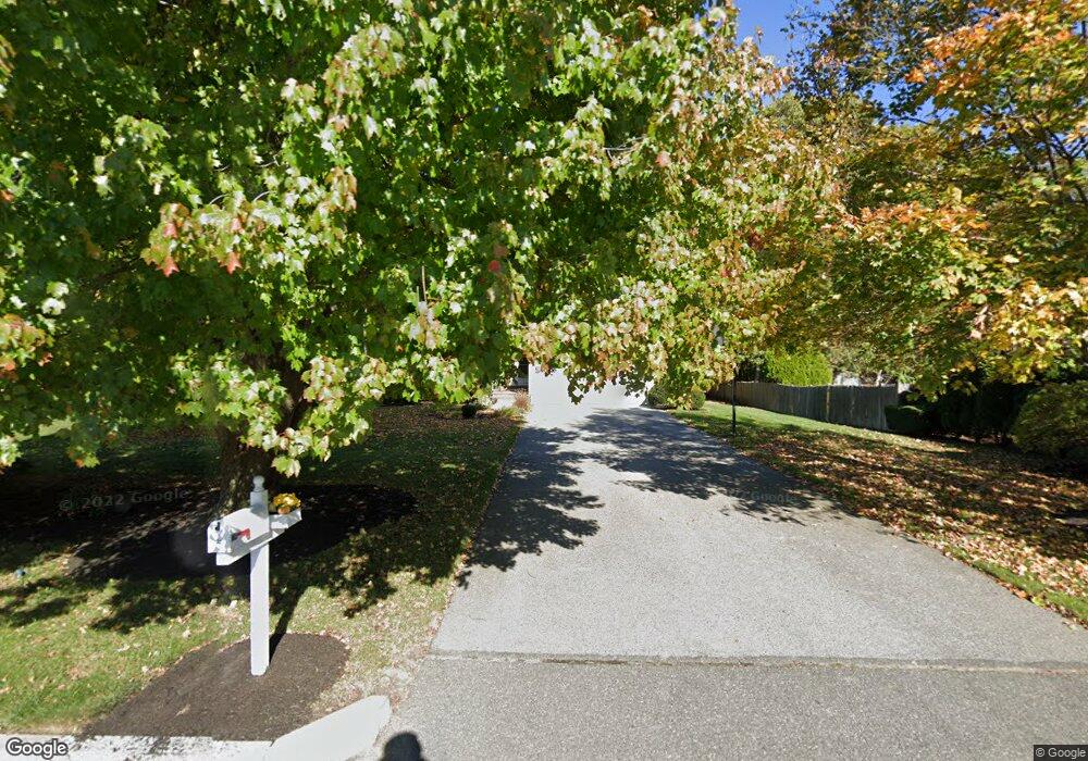
31 Hanford Rd Stoneham, MA 02180
Lindenwood NeighborhoodEstimated Value: $748,000 - $1,101,000
3
Beds
3
Baths
2,658
Sq Ft
$375/Sq Ft
Est. Value
About This Home
This home is located at 31 Hanford Rd, Stoneham, MA 02180 and is currently estimated at $997,706, approximately $375 per square foot. 31 Hanford Rd is a home located in Middlesex County with nearby schools including Stoneham High School, St. Patrick Elementary School, and St Joseph School.
Create a Home Valuation Report for This Property
The Home Valuation Report is an in-depth analysis detailing your home's value as well as a comparison with similar homes in the area
Home Values in the Area
Average Home Value in this Area
Tax History Compared to Growth
Tax History
| Year | Tax Paid | Tax Assessment Tax Assessment Total Assessment is a certain percentage of the fair market value that is determined by local assessors to be the total taxable value of land and additions on the property. | Land | Improvement |
|---|---|---|---|---|
| 2025 | $9,533 | $931,900 | $381,800 | $550,100 |
| 2024 | $9,124 | $861,600 | $353,300 | $508,300 |
| 2023 | $8,878 | $799,800 | $324,800 | $475,000 |
| 2022 | $7,830 | $752,200 | $305,800 | $446,400 |
| 2021 | $3,866 | $727,500 | $286,800 | $440,700 |
| 2020 | $7,805 | $723,400 | $286,800 | $436,600 |
| 2019 | $7,673 | $683,900 | $258,300 | $425,600 |
| 2018 | $7,641 | $652,500 | $248,800 | $403,700 |
| 2017 | $7,546 | $609,000 | $220,300 | $388,700 |
| 2016 | $7,383 | $581,300 | $220,300 | $361,000 |
| 2015 | $7,385 | $569,800 | $220,300 | $349,500 |
| 2014 | $7,206 | $534,200 | $210,800 | $323,400 |
Source: Public Records
Map
Nearby Homes
- 13 Elaine Rd
- 246 Walnut St
- 97 Oak St
- 62 Abigail Way Unit 3004
- 133 Pine Ridge Rd
- 75 Border Rd
- 40 Main St Unit 505
- 68 Main St Unit 36C
- 64 Main St Unit 41B
- 295 Salem St Unit 69
- 159 Main St Unit 41C
- 159 Main St Unit 12B
- 8 Steele St
- 20 Oak St
- 2 Summit Dr Unit 18
- 62 High St Unit 4
- 62 High St Unit 3
- 62 High St Unit Lot 12
- 62 High St Unit Lot 2
- 62 High St Unit Lot 9