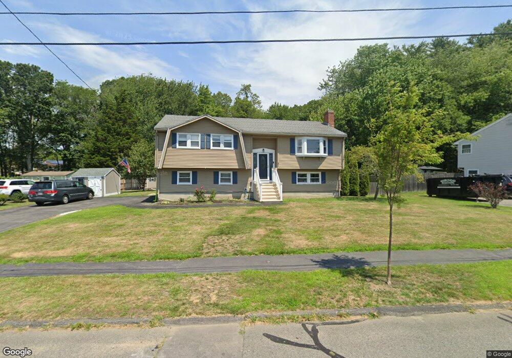
31 Hayes Ave Beverly, MA 01915
Ryal Side NeighborhoodEstimated Value: $706,000 - $763,000
4
Beds
2
Baths
1,220
Sq Ft
$602/Sq Ft
Est. Value
About This Home
This home is located at 31 Hayes Ave, Beverly, MA 01915 and is currently estimated at $734,167, approximately $601 per square foot. 31 Hayes Ave is a home located in Essex County with nearby schools including Beverly High School, Mrs Alexander's School, and The Saints Academy.
Ownership History
Date
Name
Owned For
Owner Type
Purchase Details
Closed on
Apr 3, 2020
Sold by
Gesualdi Eleonora S and Sweeney Bryan P
Bought by
Cruz Lisa M and Gesnaldi Eleonora S
Current Estimated Value
Purchase Details
Closed on
Jan 4, 1999
Sold by
Gesualdi Luigi and Gesualdi Beatrice
Bought by
Sweeney Bryan P and Sweeney Eleonora S
Create a Home Valuation Report for This Property
The Home Valuation Report is an in-depth analysis detailing your home's value as well as a comparison with similar homes in the area
Home Values in the Area
Average Home Value in this Area
Purchase History
| Date | Buyer | Sale Price | Title Company |
|---|---|---|---|
| Cruz Lisa M | -- | None Available | |
| Sweeney Bryan P | $240,000 | -- |
Source: Public Records
Mortgage History
| Date | Status | Borrower | Loan Amount |
|---|---|---|---|
| Previous Owner | Sweeney Bryan P | $279,725 | |
| Previous Owner | Sweeney Bryan P | $297,050 |
Source: Public Records
Tax History
| Year | Tax Paid | Tax Assessment Tax Assessment Total Assessment is a certain percentage of the fair market value that is determined by local assessors to be the total taxable value of land and additions on the property. | Land | Improvement |
|---|---|---|---|---|
| 2025 | $7,229 | $657,800 | $372,400 | $285,400 |
| 2024 | $6,897 | $614,200 | $334,400 | $279,800 |
| 2023 | $6,659 | $591,400 | $311,600 | $279,800 |
| 2022 | $6,556 | $538,700 | $256,500 | $282,200 |
| 2021 | $6,123 | $482,100 | $226,100 | $256,000 |
| 2020 | $5,966 | $465,000 | $209,000 | $256,000 |
| 2019 | $5,688 | $433,000 | $193,800 | $239,200 |
| 2018 | $5,518 | $405,700 | $190,000 | $215,700 |
| 2017 | $5,269 | $369,000 | $148,200 | $220,800 |
| 2016 | $5,146 | $357,600 | $136,800 | $220,800 |
| 2015 | $5,046 | $357,600 | $136,800 | $220,800 |
Source: Public Records
Map
Nearby Homes
- 13 Giles Ave Unit 2
- 59 Riverview Ave
- 125 Livingstone Ave
- 123 Livingstone Ave
- 6 Mcdewell Ave Unit 4
- 76 Water St
- 6 Pilgrim Heights
- 44 Foster St
- 147 High St
- 4 Duck Pond Rd Unit 225
- 15 Roland Rd
- 11 Evans Rd
- 34 Bayview Terrace Unit 5
- 50 Balch St Unit 300
- 50 Balch St Unit 209
- 50 Balch St Unit 103
- 348 Rantoul St Unit 202
- 261 Rantoul St
- 60 Rantoul St Unit 604N
- 60 Rantoul St Unit 114N
Your Personal Tour Guide
Ask me questions while you tour the home.