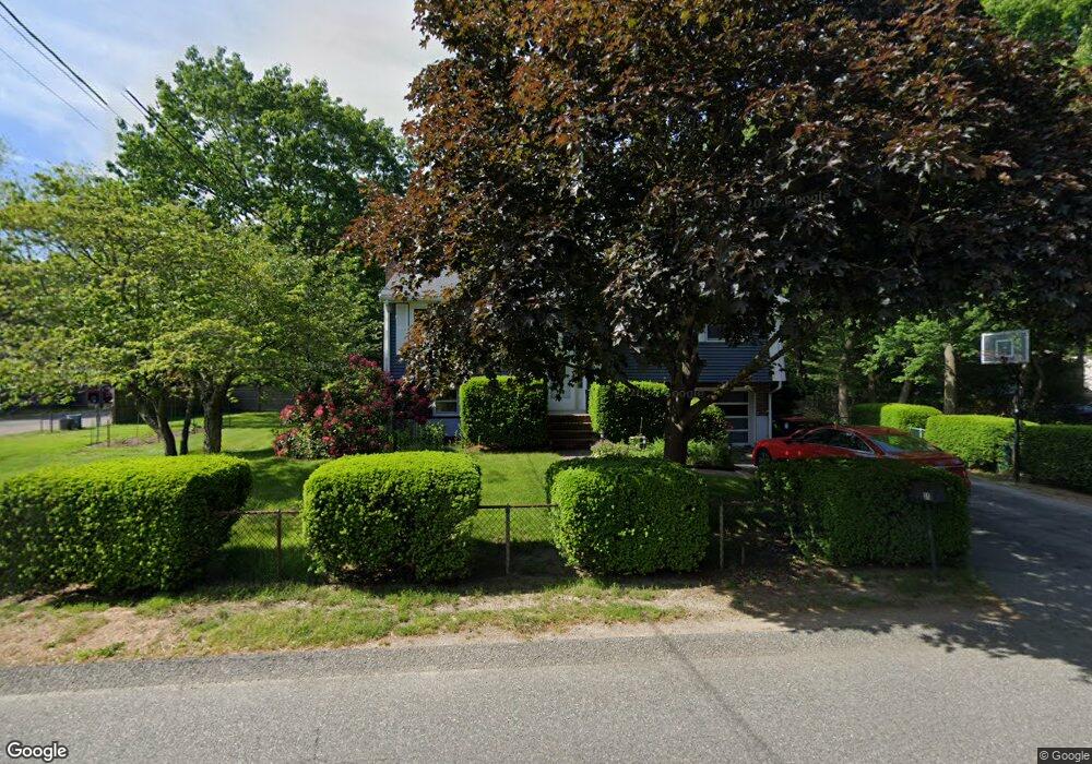
31 Highfield Dr Brockton, MA 02301
Clifton Heights NeighborhoodEstimated Value: $555,000 - $569,000
2
Beds
2
Baths
1,596
Sq Ft
$352/Sq Ft
Est. Value
About This Home
This home is located at 31 Highfield Dr, Brockton, MA 02301 and is currently estimated at $561,228, approximately $351 per square foot. 31 Highfield Dr is a home located in Plymouth County with nearby schools including Gilmore Elementary School, John F. Kennedy Elementary School, and Davis K-8 School.
Ownership History
Date
Name
Owned For
Owner Type
Purchase Details
Closed on
Jul 6, 2016
Sold by
Sanborn William A and Sanborn Karla L
Bought by
Sanborn Ft
Current Estimated Value
Purchase Details
Closed on
Apr 28, 1995
Sold by
Donovan Susan M and Donovan Timothy M
Bought by
Sanborn Willaim A and Sanborn Karla L
Home Financials for this Owner
Home Financials are based on the most recent Mortgage that was taken out on this home.
Original Mortgage
$104,400
Interest Rate
8.33%
Mortgage Type
Purchase Money Mortgage
Purchase Details
Closed on
Apr 10, 1987
Sold by
Livingston N
Bought by
Donovan Timothy M
Home Financials for this Owner
Home Financials are based on the most recent Mortgage that was taken out on this home.
Original Mortgage
$130,500
Interest Rate
9.02%
Mortgage Type
Purchase Money Mortgage
Create a Home Valuation Report for This Property
The Home Valuation Report is an in-depth analysis detailing your home's value as well as a comparison with similar homes in the area
Home Values in the Area
Average Home Value in this Area
Purchase History
| Date | Buyer | Sale Price | Title Company |
|---|---|---|---|
| Sanborn Ft | -- | -- | |
| Sanborn Willaim A | $116,000 | -- | |
| Donovan Timothy M | $146,000 | -- |
Source: Public Records
Mortgage History
| Date | Status | Borrower | Loan Amount |
|---|---|---|---|
| Previous Owner | Donovan Timothy M | $111,500 | |
| Previous Owner | Donovan Timothy M | $104,050 | |
| Previous Owner | Donovan Timothy M | $104,400 | |
| Previous Owner | Donovan Timothy M | $130,500 |
Source: Public Records
Tax History Compared to Growth
Tax History
| Year | Tax Paid | Tax Assessment Tax Assessment Total Assessment is a certain percentage of the fair market value that is determined by local assessors to be the total taxable value of land and additions on the property. | Land | Improvement |
|---|---|---|---|---|
| 2025 | $5,947 | $491,100 | $153,900 | $337,200 |
| 2024 | $5,711 | $475,100 | $153,900 | $321,200 |
| 2023 | $5,567 | $428,900 | $119,500 | $309,400 |
| 2022 | $5,376 | $384,800 | $108,900 | $275,900 |
| 2021 | $4,930 | $340,000 | $100,700 | $239,300 |
| 2020 | $4,824 | $318,400 | $96,400 | $222,000 |
| 2019 | $4,715 | $303,400 | $90,100 | $213,300 |
| 2018 | $4,659 | $290,100 | $90,100 | $200,000 |
| 2017 | $4,056 | $251,900 | $90,100 | $161,800 |
| 2016 | $4,317 | $248,700 | $86,400 | $162,300 |
| 2015 | $4,115 | $226,700 | $86,400 | $140,300 |
| 2014 | $4,193 | $231,300 | $86,400 | $144,900 |
Source: Public Records
Map
Nearby Homes
- 25 Olde Farm Ln
- 23 Highfield Dr
- 30 Highfield Dr
- 35 Olde Farm Ln
- 45 Highfield Dr
- 38 Highfield Dr
- 22 Highfield Dr
- 15 Highfield Dr
- 22 Olde Farm Ln
- 32 Olde Farm Ln
- 46 Highfield Dr
- 12 Olde Farm Ln
- 14 Highfield Dr
- 30 Linwood Park
- 20 Linwood Park
- 7 Highfield Dr
- 45 Olde Farm Ln
- 55 Highfield Dr
- 12 Linwood Park
- 6 Highfield Dr