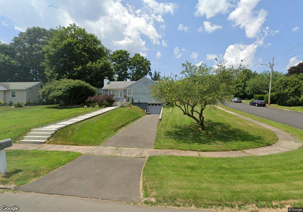
31 Howard Dr Hamden, CT 06514
Estimated Value: $345,515 - $376,000
About This Home
This home is located at 31 Howard Dr, Hamden, CT 06514 and is currently estimated at $364,629, approximately $299 per square foot. 31 Howard Dr is a home located in New Haven County with nearby schools including Hamden Middle School, Hamden High School, and Alphabet Academy - Hamden North Campus.
Ownership History
We collect this data history from publicly available records. To have your information removed, we recommend requesting removal directly through your county’s website.
Purchase Details
Home Values in the Area
Average Home Value in this Area
Purchase History
We collect this data history from publicly available records. To have your information removed, we recommend requesting removal directly through your county’s website.
| Date | Buyer | Sale Price | Title Company |
|---|---|---|---|
| $209,000 | -- |
Mortgage History
We collect this data history from publicly available records. To have your information removed, we recommend requesting removal directly through your county’s website.
| Date | Status | Borrower | Loan Amount |
|---|---|---|---|
| Previous Owner | $70,000 | ||
| Previous Owner | $8,000 |
Tax History
We collect this data history from publicly available records. To have your information removed, we recommend requesting removal directly through your county’s website.
| Year | Tax Paid | Tax Assessment Tax Assessment Total Assessment is a certain percentage of the fair market value that is determined by local assessors to be the total taxable value of land and additions on the property. | Land | Improvement |
|---|---|---|---|---|
| 2025 | $10,154 | $195,720 | $54,110 | $141,610 |
| 2024 | $6,832 | $122,850 | $37,940 | $84,910 |
| 2023 | $6,926 | $122,850 | $37,940 | $84,910 |
| 2022 | $6,816 | $122,850 | $37,940 | $84,910 |
| 2021 | $6,442 | $122,850 | $37,940 | $84,910 |
| 2020 | $6,528 | $125,580 | $66,080 | $59,500 |
| 2019 | $6,136 | $125,580 | $66,080 | $59,500 |
| 2018 | $6,023 | $125,580 | $66,080 | $59,500 |
| 2017 | $5,684 | $125,580 | $66,080 | $59,500 |
| 2016 | $5,696 | $125,580 | $66,080 | $59,500 |
| 2015 | $5,833 | $142,730 | $73,430 | $69,300 |
| 2014 | $5,699 | $142,730 | $73,430 | $69,300 |
Map
- 253 Braeside Dr
- 900 Mix Ave Unit 79
- 900 Mix Ave Unit 45
- 900 Mix Ave Unit 60
- 204 Braeside Dr
- 128 Shepards Knoll Dr Unit 128
- 430 Shepard Ave
- 64 Shepard Ave
- 68 Earl Ave
- 15 Farm Brook Ct
- 175 Mill Pond Rd Unit 101
- 175 Mill Pond Rd Unit 134
- 175 Mill Pond Rd Unit 346
- 175 Mill Pond Rd Unit 214
- 175 Mill Pond Rd Unit 201
- 172 Towne House Rd
- 166 Towne House Rd
- 21 Towne House Rd Unit 21
- 491 Shepard Ave
- 50 Stratton Ct
Ask me questions while you tour the home.