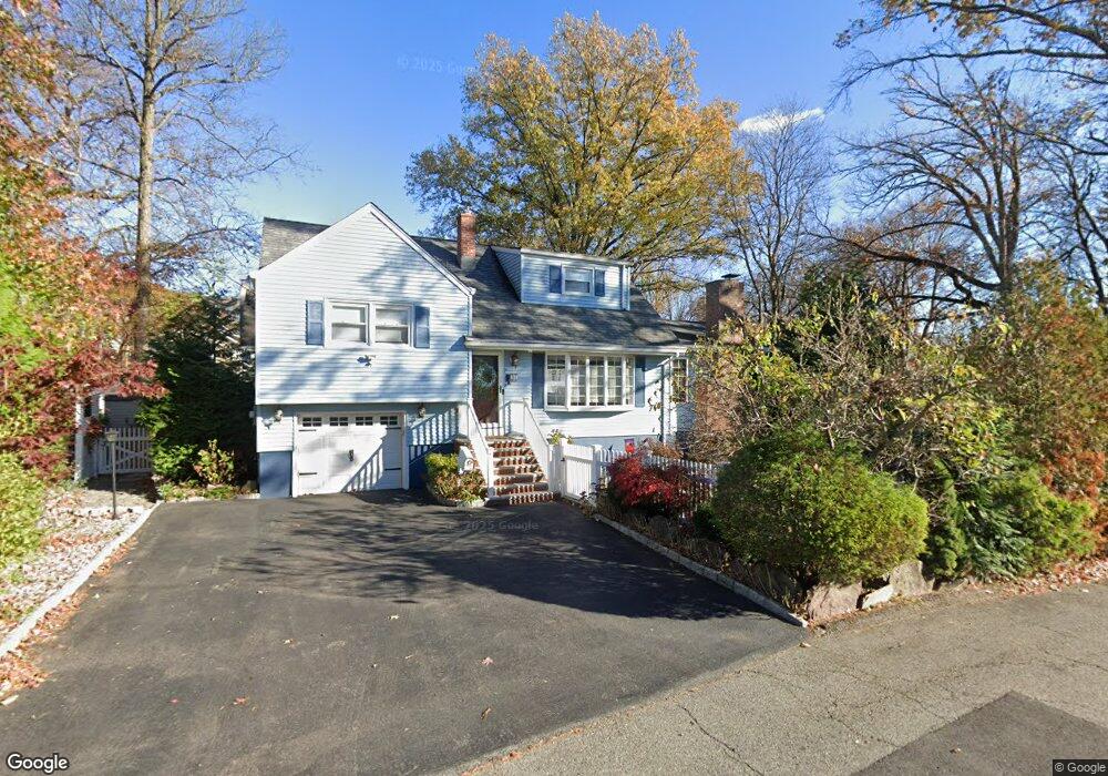
31 Howard St Dumont, NJ 07628
Estimated Value: $632,863 - $657,000
--
Bed
--
Bath
1,537
Sq Ft
$419/Sq Ft
Est. Value
About This Home
This home is located at 31 Howard St, Dumont, NJ 07628 and is currently estimated at $643,966, approximately $418 per square foot. 31 Howard St is a home located in Bergen County with nearby schools including Dumont High School and Institute For Educational Achievement.
Ownership History
Date
Name
Owned For
Owner Type
Purchase Details
Closed on
Nov 2, 2007
Sold by
Bautista Nelson D and Fernandez Mila P
Bought by
Fernandez Mila P
Current Estimated Value
Purchase Details
Closed on
Aug 2, 2005
Sold by
Slattery Keith
Bought by
Bautista Nelson and Fernandez Mila
Home Financials for this Owner
Home Financials are based on the most recent Mortgage that was taken out on this home.
Original Mortgage
$373,600
Interest Rate
5.54%
Purchase Details
Closed on
May 26, 1998
Sold by
Constantine Raymond
Bought by
Slattery Keith A and Slattery Julie A
Home Financials for this Owner
Home Financials are based on the most recent Mortgage that was taken out on this home.
Original Mortgage
$176,800
Interest Rate
7.05%
Create a Home Valuation Report for This Property
The Home Valuation Report is an in-depth analysis detailing your home's value as well as a comparison with similar homes in the area
Home Values in the Area
Average Home Value in this Area
Purchase History
| Date | Buyer | Sale Price | Title Company |
|---|---|---|---|
| Fernandez Mila P | $178,000 | -- | |
| Bautista Nelson | $467,000 | -- | |
| Slattery Keith A | $221,000 | Stewart Title Guaranty Compa |
Source: Public Records
Mortgage History
| Date | Status | Borrower | Loan Amount |
|---|---|---|---|
| Previous Owner | Bautista Nelson | $373,600 | |
| Previous Owner | Slattery Keith A | $176,800 |
Source: Public Records
Tax History Compared to Growth
Tax History
| Year | Tax Paid | Tax Assessment Tax Assessment Total Assessment is a certain percentage of the fair market value that is determined by local assessors to be the total taxable value of land and additions on the property. | Land | Improvement |
|---|---|---|---|---|
| 2025 | $12,699 | $604,100 | $296,800 | $307,300 |
| 2024 | $12,387 | $312,400 | $164,000 | $148,400 |
| 2023 | $12,130 | $312,400 | $164,000 | $148,400 |
| 2022 | $12,130 | $312,400 | $164,000 | $148,400 |
| 2021 | $12,071 | $312,400 | $164,000 | $148,400 |
| 2020 | $11,743 | $312,400 | $164,000 | $148,400 |
| 2019 | $11,308 | $308,200 | $164,000 | $144,200 |
| 2018 | $11,077 | $308,200 | $164,000 | $144,200 |
| 2017 | $10,864 | $308,200 | $164,000 | $144,200 |
| 2016 | $10,611 | $308,200 | $164,000 | $144,200 |
| 2015 | $10,368 | $308,200 | $164,000 | $144,200 |
| 2014 | $10,164 | $308,200 | $164,000 | $144,200 |
Source: Public Records
Map
Nearby Homes