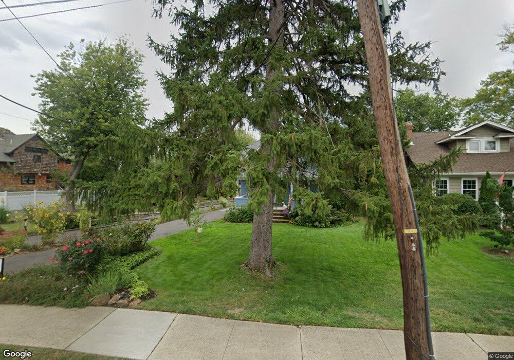
31 Hubbard Ave Red Bank, NJ 07701
New Monmouth NeighborhoodEstimated Value: $651,000 - $742,000
3
Beds
1
Bath
1,146
Sq Ft
$598/Sq Ft
Est. Value
About This Home
This home is located at 31 Hubbard Ave, Red Bank, NJ 07701 and is currently estimated at $685,868, approximately $598 per square foot. 31 Hubbard Ave is a home located in Monmouth County with nearby schools including River Plaza Elementary School, Thompson Middle School, and Middletown - South High School.
Ownership History
Date
Name
Owned For
Owner Type
Purchase Details
Closed on
Dec 19, 2019
Sold by
Zingale Fredrick J and Zingale Frederick J
Bought by
Zingale Fredrick J
Current Estimated Value
Home Financials for this Owner
Home Financials are based on the most recent Mortgage that was taken out on this home.
Original Mortgage
$562,500
Outstanding Balance
$500,486
Interest Rate
4.08%
Mortgage Type
FHA
Estimated Equity
$185,382
Purchase Details
Closed on
Apr 6, 1990
Bought by
Zingale Frederick J
Create a Home Valuation Report for This Property
The Home Valuation Report is an in-depth analysis detailing your home's value as well as a comparison with similar homes in the area
Home Values in the Area
Average Home Value in this Area
Purchase History
| Date | Buyer | Sale Price | Title Company |
|---|---|---|---|
| Zingale Fredrick J | -- | All Ahead Title Agncy | |
| Zingale Frederick J | -- | -- |
Source: Public Records
Mortgage History
| Date | Status | Borrower | Loan Amount |
|---|---|---|---|
| Open | Zingale Fredrick J | $562,500 |
Source: Public Records
Tax History Compared to Growth
Tax History
| Year | Tax Paid | Tax Assessment Tax Assessment Total Assessment is a certain percentage of the fair market value that is determined by local assessors to be the total taxable value of land and additions on the property. | Land | Improvement |
|---|---|---|---|---|
| 2025 | $9,478 | $567,400 | $383,200 | $184,200 |
| 2024 | $8,601 | $576,200 | $395,400 | $180,800 |
| 2023 | $8,601 | $494,900 | $361,100 | $133,800 |
| 2022 | $8,772 | $464,900 | $337,500 | $127,400 |
| 2021 | $8,772 | $431,400 | $318,100 | $113,300 |
| 2020 | $8,552 | $400,000 | $289,200 | $110,800 |
| 2019 | $8,469 | $401,000 | $289,200 | $111,800 |
| 2018 | $8,577 | $395,800 | $289,200 | $106,600 |
| 2017 | $8,339 | $392,600 | $289,200 | $103,400 |
| 2016 | $8,541 | $400,800 | $289,200 | $111,600 |
| 2015 | $8,559 | $400,700 | $289,200 | $111,500 |
| 2014 | $8,561 | $391,100 | $289,200 | $101,900 |
Source: Public Records
Map
Nearby Homes
- 32 Earl St
- 130 Bodman Place Unit 15
- 8 Cherry St
- 79 Lake Shore Dr
- 28 Todd Dr
- 28 Riverside Ave Unit 2G
- 28 Riverside Ave Unit 2F
- 28 Riverside Ave Unit 1H
- 28 Riverside Ave Unit 9 G
- 167 River St
- 11 Buchhop Ln
- 11 Buchhop Ln Unit 5
- 42 Chestnut St
- 43 Roosevelt Cir W
- 195 Bridge Ave
- 7 Buchhop Ln
- 38 Bank St
- 24 River St
- 6 Buchhop Ln
- 24 Cedar Crossing
