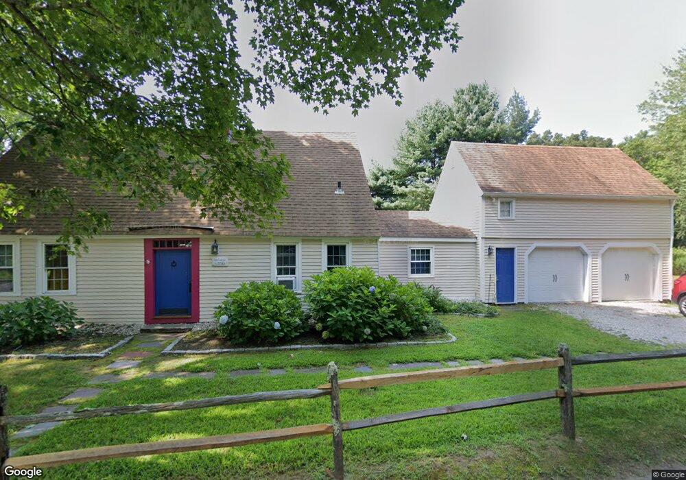
31 Hurd Bridge Rd Clinton, CT 06413
Estimated Value: $418,945 - $464,000
3
Beds
2
Baths
1,610
Sq Ft
$275/Sq Ft
Est. Value
About This Home
This home is located at 31 Hurd Bridge Rd, Clinton, CT 06413 and is currently estimated at $442,236, approximately $274 per square foot. 31 Hurd Bridge Rd is a home located in Middlesex County with nearby schools including Lewin G. Joel Jr. School and The Morgan School.
Ownership History
Date
Name
Owned For
Owner Type
Purchase Details
Closed on
Mar 26, 2009
Sold by
Zych John and Zych Paula
Bought by
Estabrook James and Estabrook Mary Ann
Current Estimated Value
Home Financials for this Owner
Home Financials are based on the most recent Mortgage that was taken out on this home.
Original Mortgage
$261,350
Outstanding Balance
$166,981
Interest Rate
5.14%
Estimated Equity
$275,255
Purchase Details
Closed on
Sep 1, 1993
Sold by
Hall James R and Hall Linda J
Bought by
Zych John H
Create a Home Valuation Report for This Property
The Home Valuation Report is an in-depth analysis detailing your home's value as well as a comparison with similar homes in the area
Home Values in the Area
Average Home Value in this Area
Purchase History
| Date | Buyer | Sale Price | Title Company |
|---|---|---|---|
| Estabrook James | $307,500 | -- | |
| Estabrook James | $307,500 | -- | |
| Zych John H | $140,000 | -- | |
| Zych John H | $140,000 | -- |
Source: Public Records
Mortgage History
| Date | Status | Borrower | Loan Amount |
|---|---|---|---|
| Open | Zych John H | $261,350 | |
| Closed | Zych John H | $261,350 |
Source: Public Records
Tax History Compared to Growth
Tax History
| Year | Tax Paid | Tax Assessment Tax Assessment Total Assessment is a certain percentage of the fair market value that is determined by local assessors to be the total taxable value of land and additions on the property. | Land | Improvement |
|---|---|---|---|---|
| 2025 | $5,437 | $174,600 | $48,600 | $126,000 |
| 2024 | $5,283 | $174,600 | $48,600 | $126,000 |
| 2023 | $5,208 | $174,600 | $48,600 | $126,000 |
| 2022 | $5,208 | $174,600 | $48,600 | $126,000 |
| 2021 | $4,982 | $167,000 | $48,600 | $118,400 |
| 2020 | $5,219 | $167,000 | $48,600 | $118,400 |
| 2019 | $5,219 | $167,000 | $48,600 | $118,400 |
| 2018 | $5,100 | $167,000 | $48,600 | $118,400 |
| 2017 | $4,995 | $167,000 | $48,600 | $118,400 |
| 2016 | $4,532 | $167,000 | $48,600 | $118,400 |
| 2015 | $4,728 | $176,600 | $54,000 | $122,600 |
| 2014 | $4,639 | $176,600 | $54,000 | $122,600 |
Source: Public Records
Map
Nearby Homes
- 32 Cream Pot Rd
- 148 Glenwood Rd
- 7 Rocky Ledge Dr
- Lot 4 Killingworth Turnpike
- 23 Egypt Ln
- 21 Stonewall Ln
- 76 Fairy Dell Rd
- 131 Cow Hill Rd
- 15 Alden Dr
- 26 Longate Rd
- 0 Fairy Dell Rd
- 48A Ironworks Rd
- 3 Circle Dr
- 246 Cow Hill Rd
- 17 Valley Rd
- 50 Kelseytown Rd
- 14 Blaine Ave
- 135 Liberty St Unit 135
- 1 Houperts Way
- 36 Silver Birch Ln
- 29 Hurd Bridge Rd
- 32 Hurd Bridge Rd
- 34 Hurd Bridge Rd
- 19 Cream Pot Rd
- 36 Hurd Bridge Rd
- 30 Hurd Bridge Rd
- 1 Dogwood Ln
- 2 Dogwood Ln
- 18 Cream Pot Rd
- 28 Hurd Bridge Rd
- 27 Hurd Bridge Rd
- 21 Cream Pot Rd
- 39 Hurd Bridge Rd
- 3 Dogwood Ln
- 4 Dogwood Ln
- 38 Hurd Bridge Rd
- 25 Hurd Bridge Rd
- 23 Cream Pot Rd
- 5 Dogwood Ln
- 41 Hurd Bridge Rd