Estimated Value: $272,006 - $312,000
2
Beds
1
Bath
1,224
Sq Ft
$231/Sq Ft
Est. Value
About This Home
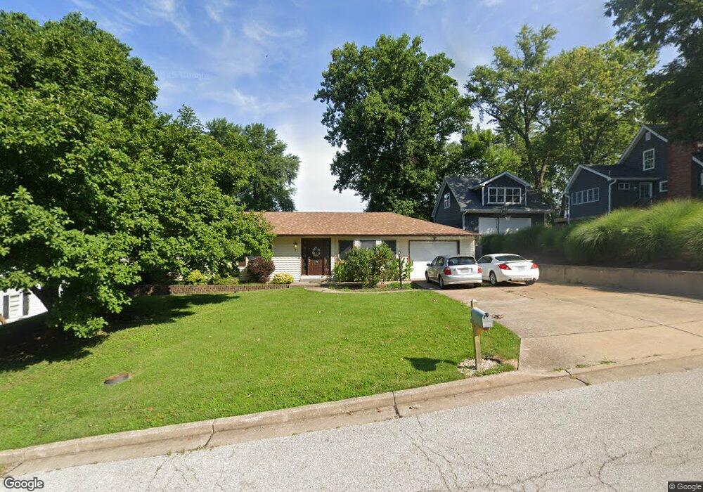
This home is located at 31 James Dr, Saint Charles, MO 63301 and is currently estimated at $282,752, approximately $231 per square foot. 31 James Dr is a home located in St. Charles County with nearby schools including George M. Null Elementary School, Hardin Middle School, and Jefferson Intermediate School.
Ownership History
Date
Name
Owned For
Owner Type
Purchase Details
Closed on
Jan 29, 2005
Sold by
Vitale Steven Joseph
Bought by
Vitale Kimberly Ann
Current Estimated Value
Purchase Details
Closed on
Mar 31, 1999
Sold by
Nevins Kenneth B and Nevins Tammy
Bought by
Vitale Steven and Vitale Kimberly A
Home Financials for this Owner
Home Financials are based on the most recent Mortgage that was taken out on this home.
Original Mortgage
$92,125
Outstanding Balance
$22,901
Interest Rate
6.82%
Estimated Equity
$259,851
Purchase Details
Closed on
Oct 29, 1998
Sold by
Hovanec Brenda L and Hovanec Brenda L
Bought by
Nevins Kenneth B
Home Financials for this Owner
Home Financials are based on the most recent Mortgage that was taken out on this home.
Original Mortgage
$74,000
Interest Rate
7%
Create a Home Valuation Report for This Property
The Home Valuation Report is an in-depth analysis detailing your home's value as well as a comparison with similar homes in the area
Home Values in the Area
Average Home Value in this Area
Purchase History
| Date | Buyer | Sale Price | Title Company |
|---|---|---|---|
| Vitale Kimberly Ann | -- | -- | |
| Vitale Steven | -- | -- | |
| Nevins Kenneth B | -- | -- |
Source: Public Records
Mortgage History
| Date | Status | Borrower | Loan Amount |
|---|---|---|---|
| Open | Vitale Steven | $92,125 | |
| Previous Owner | Nevins Kenneth B | $74,000 |
Source: Public Records
Tax History
| Year | Tax Paid | Tax Assessment Tax Assessment Total Assessment is a certain percentage of the fair market value that is determined by local assessors to be the total taxable value of land and additions on the property. | Land | Improvement |
|---|---|---|---|---|
| 2025 | $2,841 | $45,799 | -- | -- |
| 2023 | $2,836 | $44,188 | $0 | $0 |
| 2022 | $2,332 | $33,813 | $0 | $0 |
| 2021 | $2,334 | $33,813 | $0 | $0 |
| 2020 | $2,209 | $30,729 | $0 | $0 |
| 2019 | $2,189 | $30,729 | $0 | $0 |
| 2018 | $2,149 | $28,686 | $0 | $0 |
| 2017 | $2,120 | $28,686 | $0 | $0 |
| 2016 | $1,919 | $24,978 | $0 | $0 |
| 2015 | $1,915 | $24,978 | $0 | $0 |
| 2014 | $1,990 | $25,618 | $0 | $0 |
Source: Public Records
Map
Nearby Homes
- 34 James Dr
- 56 Judy Dr
- 7 Wayne St
- 2713 Treadway Ave
- 625 Nancy Dr
- 2809 Mayer Dr
- 524 Rebecca Dr
- 904 Kingston Terrace Ct
- 1116 Chargene St
- 1200 Chargene St
- 429 Dove Dr
- 1464 Hawks Nest Ct Unit H
- 76 Ruth Dr
- 28 Eau Claire Dr
- 202 King Dr Unit B
- 1710 Forest Hills Dr Unit C
- 1620 Forest Hills Dr Unit D
- 2709 Sibley St
- 21 Cambrian Way
- 10 Fairways Cir Unit E
Your Personal Tour Guide
Ask me questions while you tour the home.