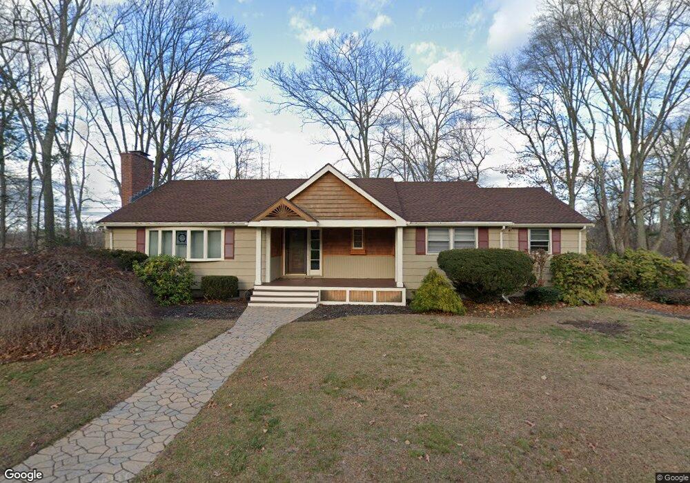
31 Jeffrey Rd Wayland, MA 01778
Estimated Value: $1,137,912 - $1,300,000
3
Beds
3
Baths
2,130
Sq Ft
$570/Sq Ft
Est. Value
About This Home
This home is located at 31 Jeffrey Rd, Wayland, MA 01778 and is currently estimated at $1,214,978, approximately $570 per square foot. 31 Jeffrey Rd is a home located in Middlesex County with nearby schools including Wayland High School and Veritas Christian Academy.
Ownership History
Date
Name
Owned For
Owner Type
Purchase Details
Closed on
Jan 18, 2001
Sold by
Mckie Theodore C
Bought by
Goldstein Stuart M and Heilbrunn Lorraine J
Current Estimated Value
Home Financials for this Owner
Home Financials are based on the most recent Mortgage that was taken out on this home.
Original Mortgage
$215,000
Outstanding Balance
$79,212
Interest Rate
7.52%
Mortgage Type
Purchase Money Mortgage
Estimated Equity
$1,135,766
Purchase Details
Closed on
Nov 5, 1987
Sold by
Pearson Paul D
Bought by
Mckie Ii Theodore C
Home Financials for this Owner
Home Financials are based on the most recent Mortgage that was taken out on this home.
Original Mortgage
$105,000
Interest Rate
10.97%
Mortgage Type
Purchase Money Mortgage
Create a Home Valuation Report for This Property
The Home Valuation Report is an in-depth analysis detailing your home's value as well as a comparison with similar homes in the area
Home Values in the Area
Average Home Value in this Area
Purchase History
| Date | Buyer | Sale Price | Title Company |
|---|---|---|---|
| Goldstein Stuart M | $515,500 | -- | |
| Mckie Ii Theodore C | $320,000 | -- |
Source: Public Records
Mortgage History
| Date | Status | Borrower | Loan Amount |
|---|---|---|---|
| Open | Mckie Ii Theodore C | $215,000 | |
| Closed | Mckie Ii Theodore C | $300,000 | |
| Previous Owner | Mckie Ii Theodore C | $200,000 | |
| Previous Owner | Mckie Ii Theodore C | $105,000 |
Source: Public Records
Tax History Compared to Growth
Tax History
| Year | Tax Paid | Tax Assessment Tax Assessment Total Assessment is a certain percentage of the fair market value that is determined by local assessors to be the total taxable value of land and additions on the property. | Land | Improvement |
|---|---|---|---|---|
| 2025 | $15,231 | $974,500 | $618,500 | $356,000 |
| 2024 | $14,409 | $928,400 | $588,900 | $339,500 |
| 2023 | $13,919 | $836,000 | $535,300 | $300,700 |
| 2022 | $12,588 | $686,000 | $443,600 | $242,400 |
| 2021 | $7,818 | $644,100 | $403,600 | $240,500 |
| 2020 | $11,432 | $643,700 | $403,600 | $240,100 |
| 2019 | $11,286 | $617,400 | $384,500 | $232,900 |
| 2018 | $6,060 | $582,600 | $384,500 | $198,100 |
| 2017 | $10,354 | $570,800 | $372,700 | $198,100 |
| 2016 | $10,010 | $577,300 | $365,200 | $212,100 |
| 2015 | $10,617 | $577,300 | $365,200 | $212,100 |
Source: Public Records
Map
Nearby Homes
- 17 Hastings Way Unit 17
- 17 Glezen Ln
- 6 Old County Rd Unit 16
- 7 Shaw Dr
- 156 Boston Post Rd
- 24 Claypit Hill Rd
- 11 Wadsworth Ln Unit 11
- 271 Landham Rd
- 208 Cochituate Rd
- 216 Landham Rd
- 94 Goodmans Hill Rd
- 10 Hayward Rd
- 14 Lundy Ln
- 353 Old Connecticut Path
- 50 3 Ponds Rd
- 63 Landham Rd
- 31 White Rd
- 22 Lakeshore Dr
- 0 Wagonwheel Rd
- 260 Cochituate Rd