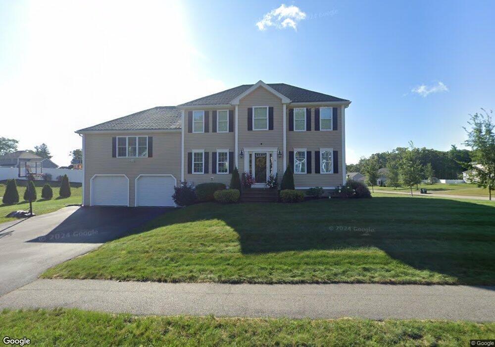
31 Joel Scott Dr Holden, MA 01520
Estimated Value: $719,000 - $822,000
3
Beds
3
Baths
2,248
Sq Ft
$340/Sq Ft
Est. Value
About This Home
This home is located at 31 Joel Scott Dr, Holden, MA 01520 and is currently estimated at $764,964, approximately $340 per square foot. 31 Joel Scott Dr is a home with nearby schools including Wachusett Regional High School and Holden Christian Academy.
Ownership History
Date
Name
Owned For
Owner Type
Purchase Details
Closed on
Dec 10, 2014
Sold by
Stoney Brook Estates L
Bought by
Milonopoulos Anastasios and Milonopoulos Meghan A
Current Estimated Value
Home Financials for this Owner
Home Financials are based on the most recent Mortgage that was taken out on this home.
Original Mortgage
$371,806
Outstanding Balance
$289,798
Interest Rate
3.98%
Mortgage Type
New Conventional
Estimated Equity
$475,166
Create a Home Valuation Report for This Property
The Home Valuation Report is an in-depth analysis detailing your home's value as well as a comparison with similar homes in the area
Home Values in the Area
Average Home Value in this Area
Purchase History
| Date | Buyer | Sale Price | Title Company |
|---|---|---|---|
| Milonopoulos Anastasios | $391,382 | -- |
Source: Public Records
Mortgage History
| Date | Status | Borrower | Loan Amount |
|---|---|---|---|
| Open | Milonopoulos Anastasios | $371,806 |
Source: Public Records
Tax History Compared to Growth
Tax History
| Year | Tax Paid | Tax Assessment Tax Assessment Total Assessment is a certain percentage of the fair market value that is determined by local assessors to be the total taxable value of land and additions on the property. | Land | Improvement |
|---|---|---|---|---|
| 2025 | $8,967 | $647,000 | $180,400 | $466,600 |
| 2024 | $8,640 | $610,600 | $175,200 | $435,400 |
| 2023 | $8,203 | $547,200 | $152,300 | $394,900 |
| 2022 | $7,787 | $470,200 | $118,900 | $351,300 |
| 2021 | $7,600 | $436,800 | $113,200 | $323,600 |
| 2020 | $7,446 | $438,000 | $107,800 | $330,200 |
| 2019 | $7,310 | $418,900 | $107,800 | $311,100 |
| 2018 | $7,083 | $402,200 | $102,600 | $299,600 |
| 2017 | $6,820 | $387,700 | $102,600 | $285,100 |
| 2016 | $6,298 | $365,100 | $97,600 | $267,500 |
| 2015 | $1,769 | $97,600 | $97,600 | $0 |
| 2014 | $1,732 | $97,600 | $97,600 | $0 |
Source: Public Records
Map
Nearby Homes
- 218 Reservoir St Unit 106
- 460 Reservoir St
- 26 Avery Heights Dr
- 64 Britney Dr
- 105 Mixter Rd
- 7 Holmes Dr
- 9 Holmes Dr
- 100 Avery Heights Dr
- 0 Chapin Rd
- 35 Chapin Rd
- 39 Sunnyside Ave
- 34 Putnam Ln
- 10 Sumac Cir
- 8 (Lot 1) Holmes Dr
- 48 Phillips Rd Unit 14
- 47 Banbury Ln
- 28 Meadow Wood Dr
- 76 Flagler Dr
- 527 Salisbury St
- 119 Winthrop Ln
- Lot 38 Joel Scott Dr
- 35 Joel Scott Dr
- 30 Joel Scott Dr
- 36 Teresa Dr
- 122 Joel Scott Dr
- 34 Joel Scott Dr
- 44 Teresa Dr
- 27 Joel Scott Dr
- 41 Joel Scott Dr
- 34 Teresa Dr
- 46 Teresa Dr
- 41 Teresa Dr
- 21 Joel Scott Dr
- 115 Joel Scott Dr
- 42 Joel Scott Dr
- 45 Teresa Dr
- 47 Joel Scott Dr
- 118 Joel Scott Dr
- 48 Teresa Dr
- Lot 23 Joel Scott Dr