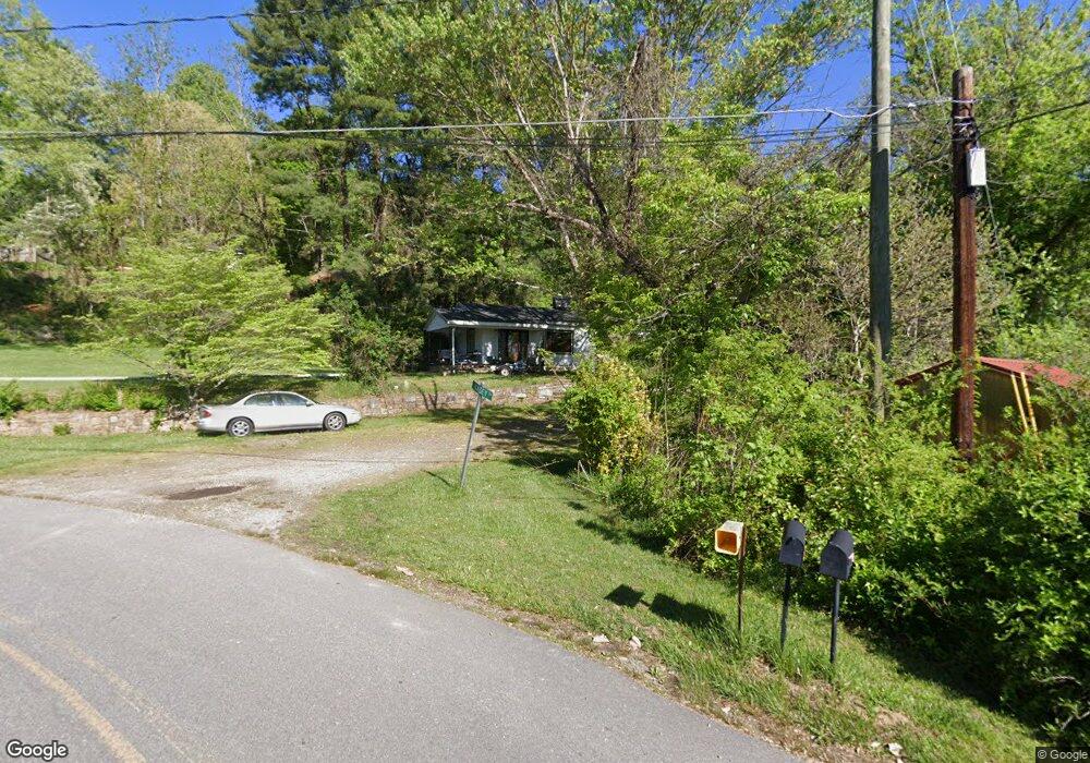
31 Kasey Dr Waynesville, NC 28785
Estimated Value: $359,000 - $477,000
2
Beds
2
Baths
1,232
Sq Ft
$332/Sq Ft
Est. Value
About This Home
This home is located at 31 Kasey Dr, Waynesville, NC 28785 and is currently estimated at $409,317, approximately $332 per square foot. 31 Kasey Dr is a home located in Haywood County with nearby schools including Jonathan Valley Elementary School, Waynesville Middle, and Tuscola High.
Ownership History
Date
Name
Owned For
Owner Type
Purchase Details
Closed on
Oct 24, 2006
Sold by
Gornick Robert E and Gornick Patricia G
Bought by
Allen Michelle G and Allen Richard David
Current Estimated Value
Home Financials for this Owner
Home Financials are based on the most recent Mortgage that was taken out on this home.
Original Mortgage
$200,000
Outstanding Balance
$118,882
Interest Rate
6.39%
Mortgage Type
Seller Take Back
Estimated Equity
$290,435
Create a Home Valuation Report for This Property
The Home Valuation Report is an in-depth analysis detailing your home's value as well as a comparison with similar homes in the area
Home Values in the Area
Average Home Value in this Area
Purchase History
| Date | Buyer | Sale Price | Title Company |
|---|---|---|---|
| Allen Michelle G | $180,000 | None Available |
Source: Public Records
Mortgage History
| Date | Status | Borrower | Loan Amount |
|---|---|---|---|
| Open | Allen Michelle G | $200,000 |
Source: Public Records
Tax History Compared to Growth
Tax History
| Year | Tax Paid | Tax Assessment Tax Assessment Total Assessment is a certain percentage of the fair market value that is determined by local assessors to be the total taxable value of land and additions on the property. | Land | Improvement |
|---|---|---|---|---|
| 2025 | -- | $212,200 | $52,000 | $160,200 |
| 2024 | $1,467 | $210,900 | $51,700 | $159,200 |
| 2023 | $1,467 | $210,900 | $51,700 | $159,200 |
| 2022 | $1,435 | $210,900 | $51,700 | $159,200 |
| 2021 | $1,435 | $210,900 | $51,700 | $159,200 |
| 2020 | $1,405 | $190,200 | $59,300 | $130,900 |
| 2019 | $1,410 | $190,200 | $59,300 | $130,900 |
| 2018 | $1,410 | $190,200 | $59,300 | $130,900 |
| 2017 | $1,410 | $190,200 | $0 | $0 |
| 2016 | $1,510 | $211,600 | $0 | $0 |
| 2015 | $1,510 | $211,600 | $0 | $0 |
| 2014 | $1,386 | $211,600 | $0 | $0 |
Source: Public Records
Map
Nearby Homes
- 9999 Divit Rd Unit 45
- 150 Sorghum Dr
- 4 Roaring Creek Ln
- 00 Wolverine Ct Unit 48
- 00 Wolverine Ct Unit 45
- 114 Clear Creek Ln
- 110 Clear Creek Ln
- 120 Spotted Fawn Ln
- TBD Wolverine Ct Unit 42
- TBD Wolverine Ct Unit 40
- 000 Roaring Creek Ln
- TBD Spotted Fawn Ln Unit 79
- 11 Prosperity Ridge
- 99999 Upward Way Unit 36
- 99999 Molasses Way Unit 18
- TBD Upward Way Unit 236 & 237
- TBD Live Oak Loop Unit 71
- TBD Live Oak Loop Unit 69
- TBD Live Oak Loop Unit 65
- TBD Live Oak Loop Unit 96/98/100
- 79 Lions Den Rd
- 137 Lions Den Rd
- 224 Abbeys Cove Rd
- 45 Lions Den Rd
- 136 Lions Den Rd
- 78 Lions Den Rd
- 266 Abbey Cove Rd
- 123 Empty Cabin Rd
- 199 Empty Cabin Rd
- 2 Mayali Trail
- 200 Empty Cabin Rd
- 105 Mayali Trail
- 176 Empty Cabin Rd
- 334 Abbeys Cove Rd
- 108 Mayali Trail
- 108 Mayali Trail Unit 4
- 48 Pika Ln Unit 17
- 34 Empty Cabin Rd
- 22 Leaping Cat Ln
- 186 Mayali Trail