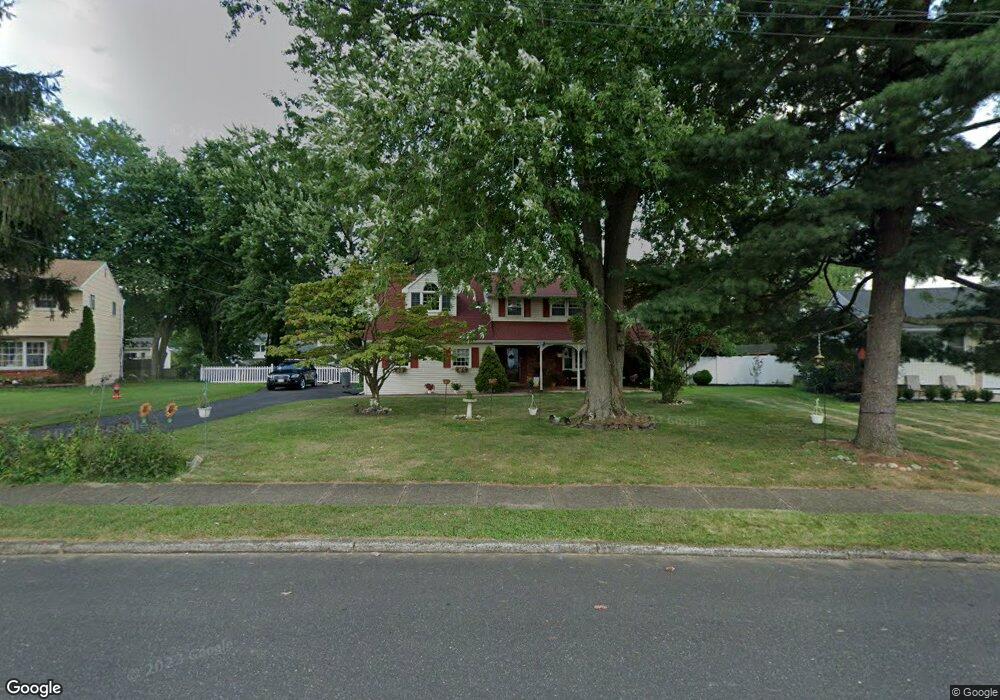
31 Latchstring Ln Hatboro, PA 19040
Estimated Value: $520,000 - $669,180
5
Beds
4
Baths
3,108
Sq Ft
$194/Sq Ft
Est. Value
About This Home
This home is located at 31 Latchstring Ln, Hatboro, PA 19040 and is currently estimated at $601,545, approximately $193 per square foot. 31 Latchstring Ln is a home located in Montgomery County with nearby schools including Hallowell Elementary School, Keith Valley Middle School, and Hatboro-Horsham Senior High School.
Ownership History
Date
Name
Owned For
Owner Type
Purchase Details
Closed on
Jun 20, 2006
Sold by
Mcbride Patricia A and Mcbride Berens Patricia A
Bought by
Sheahan Frank and Sheahan Nadine
Current Estimated Value
Home Financials for this Owner
Home Financials are based on the most recent Mortgage that was taken out on this home.
Original Mortgage
$288,000
Outstanding Balance
$169,605
Interest Rate
6.6%
Estimated Equity
$431,940
Create a Home Valuation Report for This Property
The Home Valuation Report is an in-depth analysis detailing your home's value as well as a comparison with similar homes in the area
Home Values in the Area
Average Home Value in this Area
Purchase History
| Date | Buyer | Sale Price | Title Company |
|---|---|---|---|
| Sheahan Frank | $378,000 | None Available |
Source: Public Records
Mortgage History
| Date | Status | Borrower | Loan Amount |
|---|---|---|---|
| Open | Sheahan Frank | $288,000 |
Source: Public Records
Tax History
| Year | Tax Paid | Tax Assessment Tax Assessment Total Assessment is a certain percentage of the fair market value that is determined by local assessors to be the total taxable value of land and additions on the property. | Land | Improvement |
|---|---|---|---|---|
| 2025 | $7,478 | $190,220 | -- | -- |
| 2024 | $7,478 | $190,220 | -- | -- |
| 2023 | $7,117 | $190,220 | $0 | $0 |
| 2022 | $6,887 | $190,220 | $0 | $0 |
| 2021 | $6,724 | $190,220 | $0 | $0 |
| 2020 | $6,565 | $190,220 | $0 | $0 |
| 2019 | $6,439 | $190,220 | $0 | $0 |
Source: Public Records
Map
Nearby Homes
- 25 Patriot Ln
- 18 Patriot Ln
- 537 Sherwood Ln
- 36 Patriot Ln
- 604 Liberty Ridge Rd
- 616 Liberty Ridge Rd
- 532 Sherwood Ln
- 602 America Dr Unit FARADAY MODEL HOME
- 604 America #Northbrook Model Dr
- 619 Liberty Ridge Rd
- 623 Liberty Ridge Rd
- 607 America Dr
- 1171 W County Line Rd
- 204 Wilson Ave
- 60 Caledonia Dr
- 407 W Moreland Ave
- 1246 Victoria Rd
- 711 W County Line Rd
- 240 Clearfield Cir
- 733 W County Line Rd
- 29 Latchstring Ln
- 33 Latchstring Ln
- 36 Buckman Dr
- 38 Buckman Dr
- 27 Latchstring Ln
- 42 Buckman Dr
- 40 Buckman Dr
- 35 Latchstring Ln
- 34 Buckman Dr
- 44 Buckman Dr
- 30 Latchstring Ln
- 46 Buckman Dr
- 32 Latchstring Ln
- 32 Buckman Dr
- 28 Latchstring Ln
- 25 Latchstring Ln
- 37 Latchstring Ln
- 48 Buckman Dr
- 30 Buckman Dr
- 26 Latchstring Ln
Your Personal Tour Guide
Ask me questions while you tour the home.