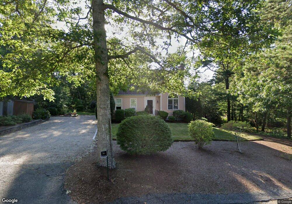
31 Long Pond Cir Brewster, MA 02631
Estimated Value: $753,114 - $832,000
3
Beds
2
Baths
1,586
Sq Ft
$501/Sq Ft
Est. Value
About This Home
This home is located at 31 Long Pond Cir, Brewster, MA 02631 and is currently estimated at $795,279, approximately $501 per square foot. 31 Long Pond Cir is a home located in Barnstable County with nearby schools including Stony Brook Elementary School, Eddy Elementary School, and Nauset Regional Middle School.
Ownership History
Date
Name
Owned For
Owner Type
Purchase Details
Closed on
May 10, 2006
Sold by
Meharg Janice M
Bought by
Janice M Meharg Ft
Current Estimated Value
Purchase Details
Closed on
Jun 11, 1996
Sold by
Mccann Philip R
Bought by
Meharg Francis W and Meharg Janice M
Home Financials for this Owner
Home Financials are based on the most recent Mortgage that was taken out on this home.
Original Mortgage
$60,000
Interest Rate
7.89%
Mortgage Type
Purchase Money Mortgage
Create a Home Valuation Report for This Property
The Home Valuation Report is an in-depth analysis detailing your home's value as well as a comparison with similar homes in the area
Home Values in the Area
Average Home Value in this Area
Purchase History
| Date | Buyer | Sale Price | Title Company |
|---|---|---|---|
| Janice M Meharg Ft | -- | -- | |
| Meharg Francis W | $36,500 | -- |
Source: Public Records
Mortgage History
| Date | Status | Borrower | Loan Amount |
|---|---|---|---|
| Previous Owner | Meharg Francis W | $60,000 |
Source: Public Records
Tax History
| Year | Tax Paid | Tax Assessment Tax Assessment Total Assessment is a certain percentage of the fair market value that is determined by local assessors to be the total taxable value of land and additions on the property. | Land | Improvement |
|---|---|---|---|---|
| 2025 | $5,040 | $732,600 | $325,400 | $407,200 |
| 2024 | $4,742 | $696,400 | $307,000 | $389,400 |
| 2023 | $4,351 | $622,400 | $274,000 | $348,400 |
| 2022 | $4,109 | $523,400 | $228,300 | $295,100 |
| 2021 | $3,913 | $456,100 | $198,500 | $257,600 |
| 2020 | $3,483 | $447,100 | $198,500 | $248,600 |
| 2019 | $3,297 | $430,700 | $190,900 | $239,800 |
| 2018 | $3,507 | $424,600 | $190,900 | $233,700 |
| 2017 | $3,442 | $410,200 | $190,900 | $219,300 |
| 2016 | $3,437 | $407,700 | $199,700 | $208,000 |
| 2015 | $3,294 | $398,800 | $195,700 | $203,100 |
Source: Public Records
Map
Nearby Homes
- 340 Greenland Pond Rd
- 39 Spruce Run Dr
- 958 Long Pond Rd
- 61 Sheffield Rd
- 58 Old Chatham Rd
- 337 Jonathans Way
- 157 Jonathans Way
- 236 Freemans Way
- 0 Old Long Pond Rd
- 296 Commons Way
- 235 Old Chatham Rd
- 274 Commons Way
- 737 Thousand Oaks Dr
- 35 Leona Terrace
- 106 Eaton Ln Unit 106E
- 210 Billington Ln Unit 210
- 0 Old Chatham Rd
- 10 Brian Way
- 142 Yankee Dr
- 88 Woodview Dr Unit H-88
- 102 Tanglewood Rd
- 0 Long Pond Cir
- 33 Long Pond Cir
- 44 Long Pond Cir
- 112 Tanglewood Rd
- 41 Long Pond Cir
- 84 Tanglewood Rd
- 17 Long Pond Cir
- 97 Tanglewood Rd
- 60 Long Pond Cir
- 72 Woodward Rd
- 62 Woodward Rd
- 115 Tanglewood Rd
- 80 Woodward Rd
- 52 Woodward Rd
- 57 Long Pond Cir
- 5 Long Pond Cir
- 81 Tanglewood Rd
- 70 Tanglewood Rd
- 42 Woodward Rd
Your Personal Tour Guide
Ask me questions while you tour the home.