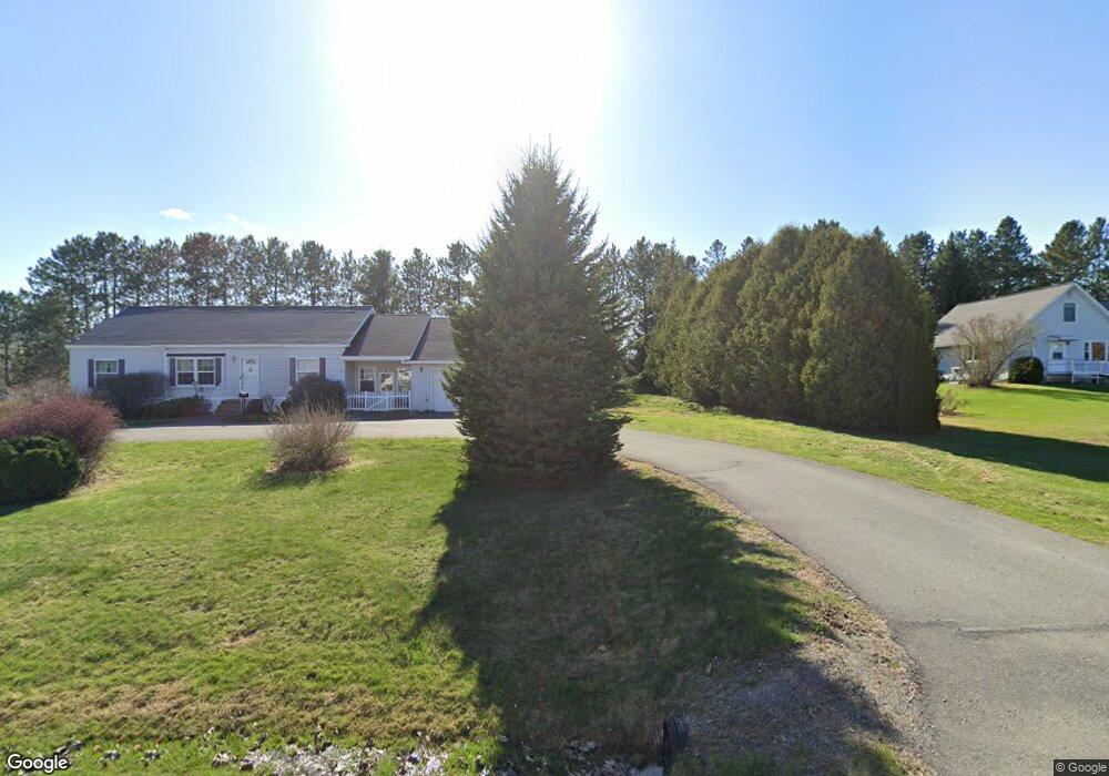
31 Maple St Corinna, ME 04928
Estimated Value: $172,699 - $239,000
3
Beds
2
Baths
1,210
Sq Ft
$173/Sq Ft
Est. Value
About This Home
This home is located at 31 Maple St, Corinna, ME 04928 and is currently estimated at $209,175, approximately $172 per square foot. 31 Maple St is a home with nearby schools including Sebasticook Valley Elementary School and Nokomis Regional Middle School/High School.
Ownership History
Date
Name
Owned For
Owner Type
Purchase Details
Closed on
Jan 5, 2021
Sold by
Brooks Nathale P Est
Bought by
Brooks Edmund A
Current Estimated Value
Home Financials for this Owner
Home Financials are based on the most recent Mortgage that was taken out on this home.
Original Mortgage
$65,000
Outstanding Balance
$58,003
Interest Rate
2.7%
Mortgage Type
Purchase Money Mortgage
Estimated Equity
$151,172
Create a Home Valuation Report for This Property
The Home Valuation Report is an in-depth analysis detailing your home's value as well as a comparison with similar homes in the area
Home Values in the Area
Average Home Value in this Area
Purchase History
| Date | Buyer | Sale Price | Title Company |
|---|---|---|---|
| Brooks Edmund A | -- | None Available | |
| Brooks Edmund A | -- | None Available |
Source: Public Records
Mortgage History
| Date | Status | Borrower | Loan Amount |
|---|---|---|---|
| Open | Brooks Edmund A | $65,000 | |
| Closed | Brooks Edmund A | $65,000 |
Source: Public Records
Tax History
| Year | Tax Paid | Tax Assessment Tax Assessment Total Assessment is a certain percentage of the fair market value that is determined by local assessors to be the total taxable value of land and additions on the property. | Land | Improvement |
|---|---|---|---|---|
| 2024 | $1,693 | $85,700 | $14,500 | $71,200 |
| 2023 | $1,673 | $85,700 | $14,500 | $71,200 |
| 2022 | $1,723 | $85,700 | $14,500 | $71,200 |
| 2021 | $1,723 | $85,700 | $14,500 | $71,200 |
| 2020 | $1,714 | $85,700 | $14,500 | $71,200 |
| 2019 | $1,650 | $85,700 | $14,500 | $71,200 |
| 2018 | $1,624 | $85,700 | $14,500 | $71,200 |
| 2017 | $1,577 | $85,700 | $14,500 | $71,200 |
| 2016 | $1,568 | $85,700 | $14,500 | $71,200 |
| 2015 | $1,525 | $85,700 | $14,500 | $71,200 |
| 2014 | $1,465 | $85,700 | $14,500 | $71,200 |
| 2013 | $1,457 | $85,700 | $14,500 | $71,200 |
Source: Public Records
Map
Nearby Homes
- 36 Ireland Ave
- 64 Saint Albans Rd
- 63 Dexter Rd
- 101 County Woods Rd
- 37 Loon Dr
- lot 5 Golf Course Cameo Sub Rd
- Lot 2 Golf Course Cameo Sub Rd
- Lot # 31 Hope Rd
- 315 Golf Course Rd
- lot 6 Golf Course Rd Unit Lot 6
- 813 Dexter Rd
- 107 Shady Ln
- 106 Shady Ln
- 220 Merrill Rd
- 107 Barrows Point Rd
- 355 Melody Ln
- TBD Dexter Rd
- 009-007 Lilly Dr
- 296 Lang Hill Rd
- 22 Grove St
- 30 Maple St
- 35 Maple St
- 21 Maple St
- 40 Maple St
- 33 Ireland Ave
- 8 Maple Ridge Park
- 16 Maple St
- 41 Ireland Ave
- 18 Maple Ridge Park
- 47 Ireland Ave
- 47 Maple St
- 23 Ireland Ave
- 38 Maple Ridge Park
- 11 Maple St
- 6 Maple Ridge Park Unit 6
- 13 Maple Ridge Park
- 42 Ireland Ave
- 28 Ireland Ave
- 10 Maple St
- 39 Maple Ridge Park
Your Personal Tour Guide
Ask me questions while you tour the home.