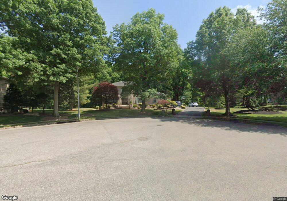
31 Mitchell Ct Marlboro, NJ 07746
Estimated Value: $929,000 - $1,188,000
4
Beds
2
Baths
3,475
Sq Ft
$301/Sq Ft
Est. Value
About This Home
This home is located at 31 Mitchell Ct, Marlboro, NJ 07746 and is currently estimated at $1,047,118, approximately $301 per square foot. 31 Mitchell Ct is a home located in Monmouth County with nearby schools including Marlboro Elementary School, Marlboro Middle School, and Marlboro High School.
Ownership History
Date
Name
Owned For
Owner Type
Purchase Details
Closed on
Jun 13, 2024
Sold by
Moore Brian and Moore Traci
Bought by
Moore Brian and Moore Traci
Current Estimated Value
Purchase Details
Closed on
May 9, 2009
Sold by
Moore Brian and Moore Traci
Bought by
Moore Traci
Purchase Details
Closed on
Sep 5, 2001
Sold by
Levy Hyman
Bought by
Moore Brian and Moore Traci
Home Financials for this Owner
Home Financials are based on the most recent Mortgage that was taken out on this home.
Original Mortgage
$373,000
Interest Rate
6.91%
Create a Home Valuation Report for This Property
The Home Valuation Report is an in-depth analysis detailing your home's value as well as a comparison with similar homes in the area
Home Values in the Area
Average Home Value in this Area
Purchase History
| Date | Buyer | Sale Price | Title Company |
|---|---|---|---|
| Moore Brian | -- | Red Bank Title | |
| Moore Brian | -- | Red Bank Title | |
| Moore Traci | -- | Red Bank Title Agency Inc | |
| Moore Brian | $473,000 | -- |
Source: Public Records
Mortgage History
| Date | Status | Borrower | Loan Amount |
|---|---|---|---|
| Previous Owner | Moore Brian | $373,000 |
Source: Public Records
Tax History
| Year | Tax Paid | Tax Assessment Tax Assessment Total Assessment is a certain percentage of the fair market value that is determined by local assessors to be the total taxable value of land and additions on the property. | Land | Improvement |
|---|---|---|---|---|
| 2025 | $14,999 | $601,400 | $165,100 | $436,300 |
| 2024 | $14,337 | $601,400 | $165,100 | $436,300 |
| 2023 | $14,337 | $601,400 | $165,100 | $436,300 |
| 2022 | $13,971 | $601,400 | $165,100 | $436,300 |
| 2021 | $13,832 | $601,400 | $165,100 | $436,300 |
| 2020 | $13,826 | $601,400 | $165,100 | $436,300 |
| 2019 | $13,832 | $601,400 | $165,100 | $436,300 |
| 2018 | $13,598 | $601,400 | $165,100 | $436,300 |
| 2017 | $13,333 | $601,400 | $165,100 | $436,300 |
| 2016 | $13,279 | $601,400 | $165,100 | $436,300 |
| 2015 | $12,837 | $569,800 | $165,100 | $404,700 |
| 2014 | $12,170 | $553,700 | $165,100 | $388,600 |
Source: Public Records
Map
Nearby Homes
- 680 - 21.04 County Road 520
- 680 - 21.1 County Road 520
- 680 - 21.21 County Road 520
- 680 County Road 520
- 680 - 21.15 County Road 520
- 680 - 21.19 County Road 520
- 680 - 21.11 County Road 520
- 680 - 21.12 County Road 520
- 680 - 21.09 County Road 520
- 680 - 21.05 County Road 520
- 680 - 21.13 County Road 520
- 680 - 21.06 County Road 520
- 680 - 21.16 County Road 520
- 680 - 21.22 County Road 520
- 680 - 21.08 County Road 520
- 680 - 21.14 County Road 520
- 680 - 21.18 County Road 520
- 680 - 21.17 County Road 520
- 680 - 21.2 County Road 520
- 11 Liberty Rd
Your Personal Tour Guide
Ask me questions while you tour the home.