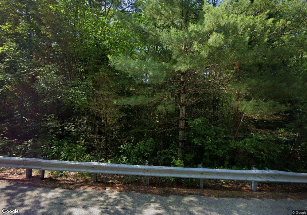
31 Morrison Rd Springvale, ME 04083
Estimated Value: $407,000 - $449,000
3
Beds
2
Baths
1,620
Sq Ft
$262/Sq Ft
Est. Value
About This Home
This home is located at 31 Morrison Rd, Springvale, ME 04083 and is currently estimated at $423,993, approximately $261 per square foot. 31 Morrison Rd is a home located in York County.
Ownership History
Date
Name
Owned For
Owner Type
Purchase Details
Closed on
Aug 3, 2011
Sold by
Bouffard Michael
Bought by
Martel Sarah A
Current Estimated Value
Home Financials for this Owner
Home Financials are based on the most recent Mortgage that was taken out on this home.
Original Mortgage
$168,911
Interest Rate
4.51%
Mortgage Type
Purchase Money Mortgage
Create a Home Valuation Report for This Property
The Home Valuation Report is an in-depth analysis detailing your home's value as well as a comparison with similar homes in the area
Home Values in the Area
Average Home Value in this Area
Purchase History
| Date | Buyer | Sale Price | Title Company |
|---|---|---|---|
| Martel Sarah A | -- | -- |
Source: Public Records
Mortgage History
| Date | Status | Borrower | Loan Amount |
|---|---|---|---|
| Closed | Martel Sarah A | $168,911 |
Source: Public Records
Tax History Compared to Growth
Tax History
| Year | Tax Paid | Tax Assessment Tax Assessment Total Assessment is a certain percentage of the fair market value that is determined by local assessors to be the total taxable value of land and additions on the property. | Land | Improvement |
|---|---|---|---|---|
| 2025 | $5,646 | $330,200 | $48,100 | $282,100 |
| 2024 | $5,329 | $330,200 | $48,100 | $282,100 |
| 2023 | $4,955 | $327,300 | $48,100 | $279,200 |
| 2022 | $4,430 | $299,300 | $48,100 | $251,200 |
| 2021 | $3,992 | $219,600 | $48,100 | $171,500 |
| 2020 | $3,849 | $190,900 | $48,100 | $142,800 |
| 2019 | $3,780 | $182,600 | $48,100 | $134,500 |
| 2018 | $3,319 | $171,300 | $43,400 | $127,900 |
| 2017 | $3,385 | $163,200 | $43,400 | $119,800 |
| 2016 | $3,327 | $146,300 | $43,500 | $102,800 |
| 2015 | $3,319 | $150,600 | $47,900 | $102,700 |
| 2014 | $3,427 | $152,400 | $49,600 | $102,800 |
| 2013 | -- | $158,700 | $55,700 | $103,000 |
Source: Public Records
Map
Nearby Homes
- 36 Littlefield Rd
- TBD Elm St
- 17 Deering Neighborhood Rd
- 2 Harrison St
- 15 Goodwin St
- 5 Goodwin St
- 19 Mill St
- 2 Kirk St
- 39 Payne St
- 446 Main St
- 6 Harris St
- 2 Libby Ln
- 14 Pleasant St
- 14 Webster St
- 1 John St
- 12 Harrison Ave
- R6-41-S3 Railroad Ave
- R6-41-S2 Railroad Ave
- R6-41-S4 Railroad Ave
- 21 Signal St Unit I-3
- 15 Morrison Rd
- 36 Morrison Rd
- 43 Morrison Rd
- Lot 26 Morrison Rd
- 26 Morrison Rd
- 16 Morrison Rd
- 0 Morrison Rd
- 3 Morrison Rd
- 44 Morrison Rd
- 109 Stanley Rd
- 51 Morrison Rd
- 131 Stanley Rd
- 87 Stanley Rd
- 135 Stanley Rd
- 122 Stanley Rd
- 59 Morrison Rd
- 114 Stanley Rd
- 54 Morrison Rd
- Lot A Stanley Rd
- 149 Stanley Rd
