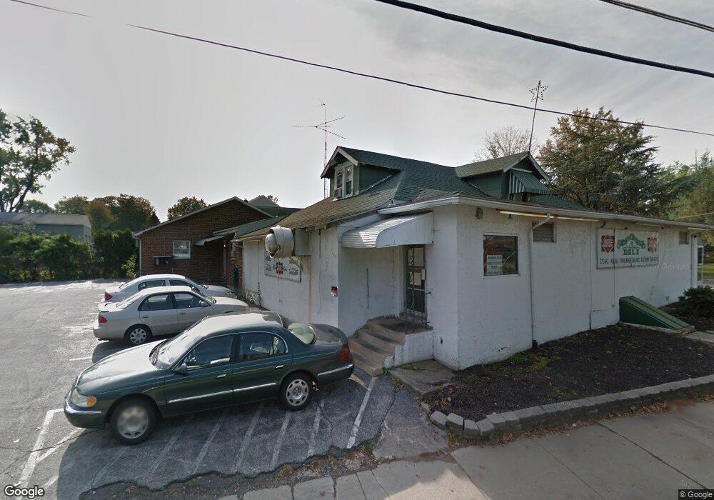
31 N Davis Ave Audubon, NJ 08106
Studio
--
Bath
4,412
Sq Ft
0.38
Acres
About This Home
This home is located at 31 N Davis Ave, Audubon, NJ 08106. 31 N Davis Ave is a home located in Camden County with nearby schools including Haviland Avenue School, Mansion Avenue School, and Audubon Junior/Senior High School.
Ownership History
Date
Name
Owned For
Owner Type
Purchase Details
Closed on
Sep 24, 2012
Sold by
Cristella Roberth F and Cristella Judith M
Bought by
31 N Davis Limited Liability Co
Purchase Details
Closed on
Sep 17, 2003
Sold by
Wellwood Realty
Bought by
Malik & Son
Purchase Details
Closed on
Mar 5, 2002
Sold by
Longo'S Food Market Inc
Bought by
Cristella Robert F and Cristella Judith M
Home Financials for this Owner
Home Financials are based on the most recent Mortgage that was taken out on this home.
Original Mortgage
$180,000
Interest Rate
6.85%
Mortgage Type
Commercial
Create a Home Valuation Report for This Property
The Home Valuation Report is an in-depth analysis detailing your home's value as well as a comparison with similar homes in the area
Home Values in the Area
Average Home Value in this Area
Purchase History
| Date | Buyer | Sale Price | Title Company |
|---|---|---|---|
| 31 N Davis Limited Liability Co | $175,000 | None Available | |
| Malik & Son | $1,380,000 | -- | |
| Cristella Robert F | $180,000 | -- |
Source: Public Records
Mortgage History
| Date | Status | Borrower | Loan Amount |
|---|---|---|---|
| Previous Owner | Cristella Robert F | $180,000 |
Source: Public Records
Tax History
| Year | Tax Paid | Tax Assessment Tax Assessment Total Assessment is a certain percentage of the fair market value that is determined by local assessors to be the total taxable value of land and additions on the property. | Land | Improvement |
|---|---|---|---|---|
| 2025 | $11,707 | $290,000 | $100,000 | $190,000 |
| 2024 | $11,319 | $290,000 | $100,000 | $190,000 |
| 2023 | $11,319 | $290,000 | $100,000 | $190,000 |
| 2022 | $11,017 | $290,000 | $100,000 | $190,000 |
| 2021 | $10,559 | $290,000 | $100,000 | $190,000 |
| 2020 | $10,457 | $290,000 | $100,000 | $190,000 |
| 2019 | $10,318 | $290,000 | $100,000 | $190,000 |
| 2018 | $10,191 | $290,000 | $100,000 | $190,000 |
| 2017 | $9,979 | $290,000 | $100,000 | $190,000 |
| 2016 | $9,718 | $290,000 | $100,000 | $190,000 |
| 2015 | $12,281 | $378,800 | $109,600 | $269,200 |
| 2014 | $12,163 | $378,800 | $109,600 | $269,200 |
Source: Public Records
Map
Nearby Homes
- 12 S Haviland Ave
- 9 Hedgerow Ct
- 137 E Holly Ave
- 26 E Holly Ave
- 11 W Cedar Ave
- 229 S Lecato Ave
- 112 W Merchant St
- 211 E Clinton Ave
- 16 W Greenwood Ave
- 28 W Greenwood Ave
- 609 White Horse Pike
- 133 Lafayette Rd
- 2 Creston Ave
- 926 Belmont Ave
- 127 Manor Ave
- 28 W Haddon Ave
- 318 Walnut Ave
- 167 Kendall Blvd
- 100 Chestnut St
- 111 E Beechwood Ave Unit 5
- 25 N Davis Ave
- 26 N Barrett Ave
- 157 Cuthbert Blvd
- 17 N Davis Ave
- 148 Cuthbert Blvd
- 22 N Barrett Ave
- 153 Cuthbert Blvd
- 28 N Davis Ave
- 24 N Davis Ave
- 11 N Davis Ave
- 16 N Barrett Ave
- 20 N Davis Ave
- 149 Cuthbert Blvd
- 16 N Davis Ave
- 12 N Barrett Ave
- 7 N Davis Ave
- 102 Heather Rd
- 60 E Kraft Ave
- 138 Cuthbert Blvd
- 12 N Davis Ave
Your Personal Tour Guide
Ask me questions while you tour the home.