31 N Hill Dr Conway, MA 01341
Estimated Value: $509,000 - $817,000
3
Beds
2
Baths
1,859
Sq Ft
$333/Sq Ft
Est. Value
About This Home
This home is located at 31 N Hill Dr, Conway, MA 01341 and is currently estimated at $618,265, approximately $332 per square foot. 31 N Hill Dr is a home located in Franklin County with nearby schools including Frontier Regional School.
Ownership History
Date
Name
Owned For
Owner Type
Purchase Details
Closed on
Jul 23, 1997
Sold by
Bowen Clifford V and Bowen Lenore F
Bought by
Milliken Robert D
Current Estimated Value
Home Financials for this Owner
Home Financials are based on the most recent Mortgage that was taken out on this home.
Original Mortgage
$160,000
Interest Rate
7.7%
Mortgage Type
Purchase Money Mortgage
Create a Home Valuation Report for This Property
The Home Valuation Report is an in-depth analysis detailing your home's value as well as a comparison with similar homes in the area
Home Values in the Area
Average Home Value in this Area
Purchase History
| Date | Buyer | Sale Price | Title Company |
|---|---|---|---|
| Milliken Robert D | $260,000 | -- |
Source: Public Records
Mortgage History
| Date | Status | Borrower | Loan Amount |
|---|---|---|---|
| Open | Milliken Robert D | $120,000 | |
| Closed | Milliken Robert D | $160,000 |
Source: Public Records
Tax History
| Year | Tax Paid | Tax Assessment Tax Assessment Total Assessment is a certain percentage of the fair market value that is determined by local assessors to be the total taxable value of land and additions on the property. | Land | Improvement |
|---|---|---|---|---|
| 2025 | $9,065 | $627,800 | $101,900 | $525,900 |
| 2024 | $8,169 | $498,100 | $92,300 | $405,800 |
| 2023 | $8,542 | $498,100 | $92,300 | $405,800 |
| 2022 | $8,309 | $462,900 | $87,100 | $375,800 |
| 2021 | $8,166 | $436,000 | $82,800 | $353,200 |
| 2020 | $7,977 | $425,200 | $82,400 | $342,800 |
| 2019 | $7,930 | $425,200 | $82,400 | $342,800 |
| 2018 | $7,866 | $425,200 | $82,400 | $342,800 |
| 2017 | $7,547 | $425,200 | $82,400 | $342,800 |
| 2016 | $7,282 | $436,600 | $71,900 | $364,700 |
| 2015 | $7,060 | $436,600 | $71,900 | $364,700 |
Source: Public Records
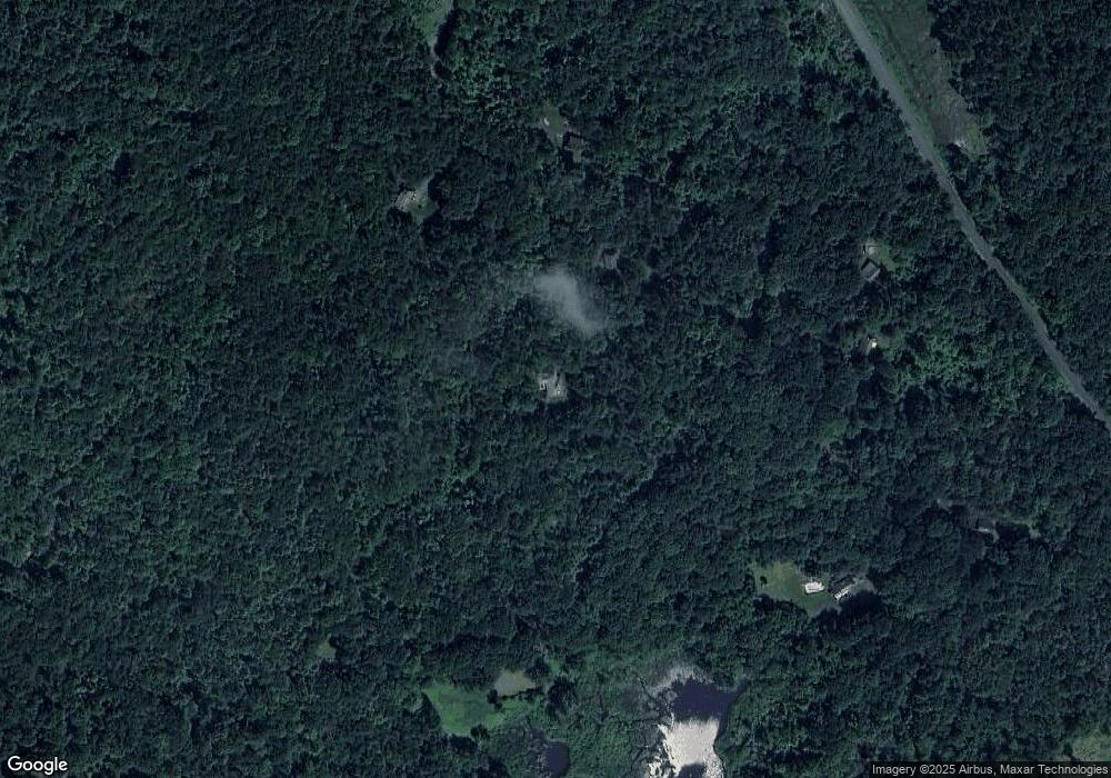
Map
Nearby Homes
- 0 Maple St
- 901 Roaring Brook Rd
- 71 Mathews Rd
- 101 Plain Rd
- 90 Whately Rd
- 21 Meadow Wood Dr
- 151 Ashfield Rd
- 92 Masterson Rd
- 0 North St Unit 73407299
- 36 Swamp Rd
- 0 Greenfield Rd Unit 73472322
- 355 Greenfield Rd
- 86 Ashfield Rd
- 14 Sugarloaf St
- 41 Upper Rd
- 134 Nash Hill Rd
- 240 Beldingville Rd
- 79 State Rd
- 0 N Bear River Rd Unit 73485981
- 0 Sears Rd Unit 73373850
- 42 N Hill Dr
- C North Hill
- 99 N Hill Dr
- 66 N Hill Dr
- 31 S Hill Rd
- 11 S Hill Rd
- 78 S Hill Rd
- 65 S Hill Rd
- 146 N Hill Dr
- 146 N Hill Dr
- 0 Cricket Hill Rd Unit 72221359
- 516 Cricket Hill Rd
- LOT 1 Cricket Hill Rd N
- 684 Whately Rd
- 25 Flagg Mountain Dr
- 20 Flagg Mountain Dr
- 19 Flagg Mountain Dr
- 18 Flagg Mountain Dr
- Lot G Flagg Mountain Dr
- Lot F Flagg Mountain Dr
Your Personal Tour Guide
Ask me questions while you tour the home.