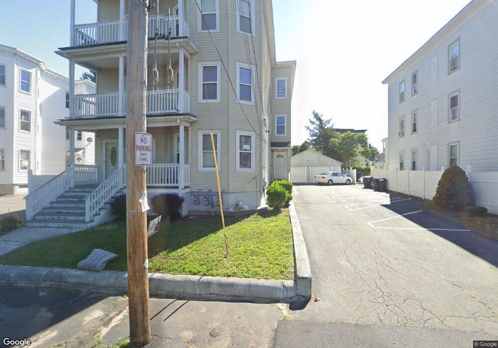
31 N Manchester St Brockton, MA 02302
Estimated Value: $657,000 - $1,036,000
9
Beds
3
Baths
4,203
Sq Ft
$211/Sq Ft
Est. Value
About This Home
This home is located at 31 N Manchester St, Brockton, MA 02302 and is currently estimated at $885,000, approximately $210 per square foot. 31 N Manchester St is a home located in Plymouth County with nearby schools including Arnone Elementary School, Joseph F. Plouffe Middle School, and Brockton Area Seventh-Day Adventist Academy.
Ownership History
Date
Name
Owned For
Owner Type
Purchase Details
Closed on
Sep 28, 1999
Sold by
Montrond Manuel A Est
Bought by
Teixeira David C
Current Estimated Value
Home Financials for this Owner
Home Financials are based on the most recent Mortgage that was taken out on this home.
Original Mortgage
$60,800
Interest Rate
8.1%
Mortgage Type
Commercial
Create a Home Valuation Report for This Property
The Home Valuation Report is an in-depth analysis detailing your home's value as well as a comparison with similar homes in the area
Home Values in the Area
Average Home Value in this Area
Purchase History
| Date | Buyer | Sale Price | Title Company |
|---|---|---|---|
| Teixeira David C | $92,000 | -- |
Source: Public Records
Mortgage History
| Date | Status | Borrower | Loan Amount |
|---|---|---|---|
| Open | Teixeira David C | $262,500 | |
| Closed | Teixeira David C | $50,000 | |
| Closed | Teixeira David C | $60,800 | |
| Previous Owner | Teixeira David C | $125,000 |
Source: Public Records
Tax History Compared to Growth
Tax History
| Year | Tax Paid | Tax Assessment Tax Assessment Total Assessment is a certain percentage of the fair market value that is determined by local assessors to be the total taxable value of land and additions on the property. | Land | Improvement |
|---|---|---|---|---|
| 2025 | $8,429 | $696,000 | $98,000 | $598,000 |
| 2024 | $8,296 | $690,200 | $98,000 | $592,200 |
| 2023 | $7,508 | $578,400 | $72,900 | $505,500 |
| 2022 | $7,249 | $518,900 | $66,300 | $452,600 |
| 2021 | $6,890 | $475,200 | $55,000 | $420,200 |
| 2020 | $6,613 | $436,500 | $51,600 | $384,900 |
| 2019 | $6,653 | $428,100 | $50,300 | $377,800 |
| 2018 | $6,051 | $376,800 | $50,300 | $326,500 |
| 2017 | $5,538 | $344,000 | $50,300 | $293,700 |
| 2016 | $5,711 | $329,000 | $69,600 | $259,400 |
| 2015 | $4,821 | $265,600 | $69,600 | $196,000 |
| 2014 | $4,589 | $253,100 | $69,600 | $183,500 |
Source: Public Records
Map
Nearby Homes
- 47 Taber Ave
- 18 N Manchester St
- 230 Court St
- 13 Standish St
- 37 Hunt St
- 58 Hunt St
- 60 Hunt St
- 34 Provost St
- 147 Centre St Unit 603
- 12 Charles St
- 0 Prospect St
- 24 E Ashland St
- 47 John Berman Dr
- 35 Huntington St
- 39 Huntington St
- 18 Walnut St
- 28 Crescent Ave
- 341 E Ashland St
- 129 Anawan St
- 60 Addison Ave
- 27 N Manchester St
- 35 N Manchester St
- 35 N Manchester St Unit 3
- 23 N Manchester St
- 41 N Manchester St
- 26 Taber Ave
- 38 Taber Ave
- 26 N Manchester St
- 32 Taber Ave
- 19 N Manchester St
- 22 Taber Ave Unit 2R
- 22 Taber Ave
- 22 Taber Ave Unit 1F
- 22 Taber Ave Unit 3R
- 22 Taber Ave Unit 1R
- 46 Taber Ave
- 47 N Manchester St
- 42 N Manchester St
- 22 N Manchester St
- 18 Taber Ave