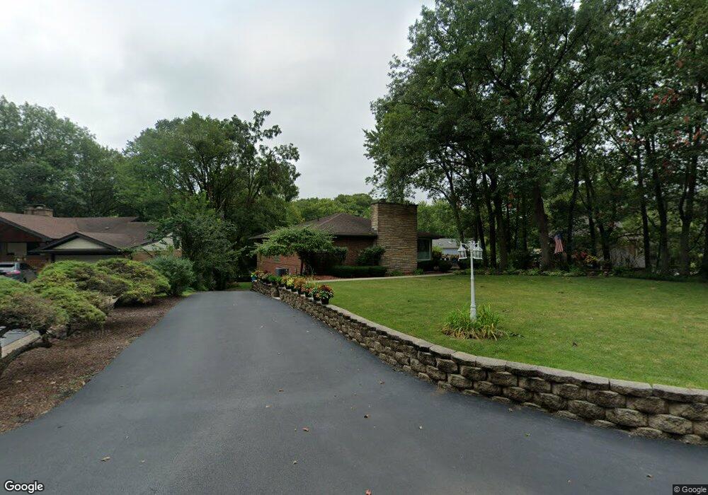
31 N Woodland Trail Palos Park, IL 60464
Lake Katherine NeighborhoodEstimated Value: $415,000 - $461,215
3
Beds
2
Baths
2,724
Sq Ft
$162/Sq Ft
Est. Value
About This Home
This home is located at 31 N Woodland Trail, Palos Park, IL 60464 and is currently estimated at $440,054, approximately $161 per square foot. 31 N Woodland Trail is a home located in Cook County with nearby schools including Palos East Elementary School, Palos South Middle School, and Amos Alonzo Stagg High School.
Ownership History
Date
Name
Owned For
Owner Type
Purchase Details
Closed on
Aug 30, 2002
Sold by
Smith Thomas H and Smith Carol J
Bought by
Stavroplos James H and Stavroplos Patricia A
Current Estimated Value
Home Financials for this Owner
Home Financials are based on the most recent Mortgage that was taken out on this home.
Original Mortgage
$204,000
Interest Rate
6.29%
Purchase Details
Closed on
May 24, 2000
Sold by
Palos Bank & Trust Company
Bought by
Smith Thomas H and Smith Carol J
Create a Home Valuation Report for This Property
The Home Valuation Report is an in-depth analysis detailing your home's value as well as a comparison with similar homes in the area
Home Values in the Area
Average Home Value in this Area
Purchase History
| Date | Buyer | Sale Price | Title Company |
|---|---|---|---|
| Stavroplos James H | -- | -- | |
| Smith Thomas H | -- | -- |
Source: Public Records
Mortgage History
| Date | Status | Borrower | Loan Amount |
|---|---|---|---|
| Previous Owner | Stavroplos James H | $204,000 | |
| Closed | Stavroplos James H | $25,500 |
Source: Public Records
Tax History Compared to Growth
Tax History
| Year | Tax Paid | Tax Assessment Tax Assessment Total Assessment is a certain percentage of the fair market value that is determined by local assessors to be the total taxable value of land and additions on the property. | Land | Improvement |
|---|---|---|---|---|
| 2024 | $7,118 | $34,701 | $7,793 | $26,908 |
| 2023 | $5,107 | $34,701 | $7,793 | $26,908 |
| 2022 | $5,107 | $22,775 | $6,754 | $16,021 |
| 2021 | $5,063 | $21,471 | $6,753 | $14,718 |
| 2020 | $4,939 | $21,467 | $6,753 | $14,714 |
| 2019 | $5,626 | $25,000 | $6,234 | $18,766 |
| 2018 | $5,459 | $25,000 | $6,234 | $18,766 |
| 2017 | $5,309 | $25,000 | $6,234 | $18,766 |
| 2016 | $6,492 | $26,857 | $5,195 | $21,662 |
| 2015 | $6,387 | $26,857 | $5,195 | $21,662 |
| 2014 | $6,327 | $26,857 | $5,195 | $21,662 |
| 2013 | $6,422 | $28,954 | $5,195 | $23,759 |
Source: Public Records
Map
Nearby Homes
- 8322 W 123rd St
- 13010 S 85th Ave
- 7909 W 120th St
- 8703 W 123rd St
- 11731 S Brookside Dr Unit 10218
- 8714 W 123rd St
- 12314 S 88th Ave
- 11556 S Alpine Ave
- 8459 Edelweiss Dr
- 12525 S Pawnee Rd
- 12504 Southwest Hwy
- 11537 Autobahn Dr E Unit 101
- 12035 S 90th Ave
- 82 Parliament Dr W Unit 118
- 12604 S Pawnee Rd
- 12811 S 82nd Ct
- 7900 W 127th St
- 52 Parliament Dr W Unit 127
- 48 Parliament Dr W Unit 132
- 7660 W 124th Place
- 27 N Woodland Trail
- 37 N Woodland Trail
- 23 N Woodland Trail
- 51 N Woodland Trail
- 36 N Woodland Trail
- 19 N Woodland Trail
- 52 N Woodland Trail
- 48 N Woodland Trail
- 34 N Woodland Trail
- 58 N Woodland Trail
- 66 N Woodland Trail
- 15 N Woodland Trail
- 26 N Woodland Trail
- 72 N Woodland Trail
- 64 N Woodland Trail
- 10 S Hillside Cir
- 76 N Woodland Trail
- 62 N Woodland Trail
- 24 N Woodland Trail
- 9 S Hillside Cir