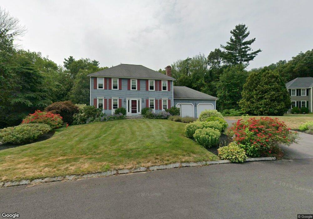
31 Nelson Way Mansfield, MA 02048
Estimated Value: $830,318 - $963,000
3
Beds
3
Baths
1,890
Sq Ft
$472/Sq Ft
Est. Value
About This Home
This home is located at 31 Nelson Way, Mansfield, MA 02048 and is currently estimated at $892,580, approximately $472 per square foot. 31 Nelson Way is a home located in Bristol County with nearby schools including Everett W. Robinson Elementary School, Jordan/Jackson Elementary School, and Harold L. Qualters Middle School.
Ownership History
Date
Name
Owned For
Owner Type
Purchase Details
Closed on
Jan 31, 2003
Sold by
Tracewski Stephen P
Bought by
Delucia Anthony S and Delucia Cara A
Current Estimated Value
Home Financials for this Owner
Home Financials are based on the most recent Mortgage that was taken out on this home.
Original Mortgage
$315,000
Outstanding Balance
$135,068
Interest Rate
6.09%
Mortgage Type
Purchase Money Mortgage
Estimated Equity
$757,512
Purchase Details
Closed on
Aug 31, 1994
Sold by
Warnick Karl L and Warnick Laura M
Bought by
Tracewski Stephen P and Tracewski Donna M
Home Financials for this Owner
Home Financials are based on the most recent Mortgage that was taken out on this home.
Original Mortgage
$149,500
Interest Rate
8.44%
Mortgage Type
Purchase Money Mortgage
Create a Home Valuation Report for This Property
The Home Valuation Report is an in-depth analysis detailing your home's value as well as a comparison with similar homes in the area
Home Values in the Area
Average Home Value in this Area
Purchase History
| Date | Buyer | Sale Price | Title Company |
|---|---|---|---|
| Delucia Anthony S | $414,600 | -- | |
| Delucia Anthony S | $414,600 | -- | |
| Delucia Anthony S | $414,600 | -- | |
| Tracewski Stephen P | $227,750 | -- | |
| Tracewski Stephen P | $227,750 | -- |
Source: Public Records
Mortgage History
| Date | Status | Borrower | Loan Amount |
|---|---|---|---|
| Open | Delucia Anthony S | $315,000 | |
| Closed | Tracewski Stephen P | $315,000 | |
| Previous Owner | Tracewski Stephen P | $100,000 | |
| Previous Owner | Tracewski Stephen P | $149,500 |
Source: Public Records
Tax History Compared to Growth
Tax History
| Year | Tax Paid | Tax Assessment Tax Assessment Total Assessment is a certain percentage of the fair market value that is determined by local assessors to be the total taxable value of land and additions on the property. | Land | Improvement |
|---|---|---|---|---|
| 2025 | $9,261 | $703,200 | $276,200 | $427,000 |
| 2024 | $9,127 | $676,100 | $288,200 | $387,900 |
| 2023 | $8,833 | $626,900 | $288,200 | $338,700 |
| 2022 | $8,494 | $559,900 | $266,900 | $293,000 |
| 2021 | $8,239 | $536,400 | $222,300 | $314,100 |
| 2020 | $8,110 | $528,000 | $222,300 | $305,700 |
| 2019 | $7,514 | $493,700 | $185,200 | $308,500 |
| 2018 | $7,469 | $479,700 | $176,800 | $302,900 |
| 2017 | $7,005 | $466,400 | $171,800 | $294,600 |
| 2016 | $6,622 | $429,700 | $163,400 | $266,300 |
| 2015 | $6,450 | $416,100 | $163,400 | $252,700 |
Source: Public Records
Map
Nearby Homes
- 4 Buckskin Dr
- 24 Maverick Dr
- 150 Gilbert St
- 255 Mckeon Dr
- 176 Elm St
- 2 Oak St Unit 2D
- 2 Oak St Unit 2A
- 2 Oak St Unit 2C
- 2 Oak St Unit 2B
- 196 Donald Tennant Cir
- 450 West St
- 451R Gilbert St
- 11 Landry Ave
- 406 South St
- 116 George St
- 231 Spring St
- 37 Oakleaf Dr
- 115 Westfield Dr
- 16 Treasure Island Rd
- 11 Buckthorn Ln