31 Oak Rd Georgetown, ME 04548
Georgetown NeighborhoodEstimated Value: $689,000 - $986,288
Studio
--
Bath
--
Sq Ft
78,408
Sq Ft Lot
About This Home
This home is located at 31 Oak Rd, Georgetown, ME 04548 and is currently estimated at $830,072. 31 Oak Rd is a home with nearby schools including Georgetown Central School.
Ownership History
Date
Name
Owned For
Owner Type
Purchase Details
Closed on
Feb 5, 2009
Sold by
Labrecque Debby J
Bought by
Labrecque Debby J and Labrecque John P
Current Estimated Value
Home Financials for this Owner
Home Financials are based on the most recent Mortgage that was taken out on this home.
Original Mortgage
$175,000
Outstanding Balance
$108,306
Interest Rate
5.2%
Mortgage Type
Commercial
Estimated Equity
$721,766
Create a Home Valuation Report for This Property
The Home Valuation Report is an in-depth analysis detailing your home's value as well as a comparison with similar homes in the area
Home Values in the Area
Average Home Value in this Area
Purchase History
| Date | Buyer | Sale Price | Title Company |
|---|---|---|---|
| Labrecque Debby J | -- | -- |
Source: Public Records
Mortgage History
| Date | Status | Borrower | Loan Amount |
|---|---|---|---|
| Open | Labrecque Debby J | $175,000 |
Source: Public Records
Tax History
| Year | Tax Paid | Tax Assessment Tax Assessment Total Assessment is a certain percentage of the fair market value that is determined by local assessors to be the total taxable value of land and additions on the property. | Land | Improvement |
|---|---|---|---|---|
| 2025 | $4,789 | $762,500 | $335,400 | $427,100 |
| 2024 | $4,590 | $762,500 | $335,400 | $427,100 |
| 2023 | $4,094 | $419,900 | $169,400 | $250,500 |
| 2022 | $3,712 | $419,900 | $169,400 | $250,500 |
| 2021 | $2,953 | $357,900 | $169,400 | $188,500 |
| 2020 | $2,899 | $357,900 | $169,400 | $188,500 |
| 2019 | $2,792 | $357,900 | $169,400 | $188,500 |
| 2018 | $2,756 | $357,900 | $169,400 | $188,500 |
| 2017 | $2,738 | $357,900 | $169,400 | $188,500 |
| 2016 | $2,738 | $357,900 | $169,400 | $188,500 |
| 2015 | $2,641 | $357,900 | $169,400 | $188,500 |
| 2014 | $2,641 | $357,900 | $169,400 | $188,500 |
| 2013 | $2,541 | $357,900 | $169,400 | $188,500 |
Source: Public Records
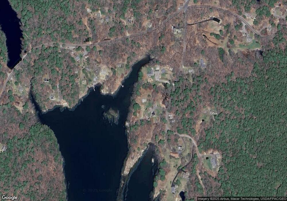
Map
Nearby Homes
- 47 Snowman Ln
- 1 Plum Ln Unit D
- 15 Blueberry Hill Rd
- 1442 Five Islands Rd
- 25 N End Rd
- 61 N End Rd
- Lot 45-B Cove Rd
- 461 Hendricks Hill Rd
- 245 Five Islands Rd
- 40 Knubble Rd
- 1 Guide Board Hill Rd
- Map1 lot57 W Side of Main Rd
- 14 Pinkie Ln
- 124 Main Rd
- 58 Hendricks Hill Rd
- 17-1 Bald Head Rd
- Lot # 19 Bald Head Rd
- 1020 Hendricks Hill Rd
- 22 Gray Rd
- 17 Cedar Ln Unit 17
- 41 Oak Rd
- 44 Oak Rd
- 1319 Five Islands Rd
- 10 Harbor Way
- 24 Oak Rd
- 9 Harbor Way
- 10 Harbor Home Dr Unit 3
- 10 Harbor Home Dr
- 10 Harbor Home Dr Unit 1
- 10 Harbor Home Dr Unit 4
- 10 Harbor Home Dr Unit 2
- 57 Oak Rd
- 26 Oak Rd
- 22 Oak Rd
- 0 Davis Landing Rd
- 9 Oak Rd
- 1324 Five Islands Rd
- 5 Harbor Home Dr
- 5 Harbor Homes
- 0 Spruce Gum Ln
Your Personal Tour Guide
Ask me questions while you tour the home.