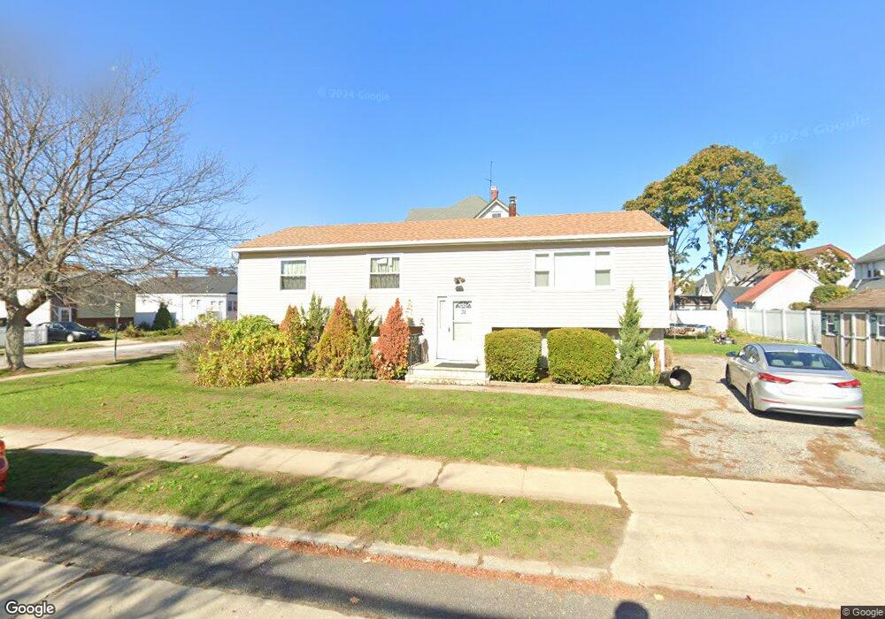
31 Parsons Ave Freeport, NY 11520
Estimated Value: $570,148 - $644,000
--
Bed
2
Baths
1,386
Sq Ft
$438/Sq Ft
Est. Value
About This Home
This home is located at 31 Parsons Ave, Freeport, NY 11520 and is currently estimated at $607,074, approximately $438 per square foot. 31 Parsons Ave is a home located in Nassau County with nearby schools including Columbus Avenue School, Caroline G. Atkinson Intermediate School, and John W Dodd Middle School.
Ownership History
Date
Name
Owned For
Owner Type
Purchase Details
Closed on
Jun 29, 2015
Sold by
Gardiner Winston and Gardiner Deborah Pryce
Bought by
Gardiner Deborah Pryce
Current Estimated Value
Purchase Details
Closed on
Nov 19, 2005
Sold by
Gardiner Winston
Purchase Details
Closed on
Mar 2, 2001
Sold by
Kmf Properties Inc
Bought by
Gardner Winston
Purchase Details
Closed on
Aug 17, 2000
Sold by
St Pauls Community Outrea Ch
Bought by
Kmf Properties Inc
Create a Home Valuation Report for This Property
The Home Valuation Report is an in-depth analysis detailing your home's value as well as a comparison with similar homes in the area
Home Values in the Area
Average Home Value in this Area
Purchase History
| Date | Buyer | Sale Price | Title Company |
|---|---|---|---|
| Gardiner Deborah Pryce | -- | The Judicial Title Insurance | |
| -- | -- | -- | |
| Gardner Winston | $200,000 | Dorian Glover | |
| Kmf Properties Inc | $129,620 | Kevin Fitzpatrick | |
| -- | $124,620 | -- |
Source: Public Records
Tax History Compared to Growth
Tax History
| Year | Tax Paid | Tax Assessment Tax Assessment Total Assessment is a certain percentage of the fair market value that is determined by local assessors to be the total taxable value of land and additions on the property. | Land | Improvement |
|---|---|---|---|---|
| 2025 | $7,232 | $377 | $121 | $256 |
| 2024 | $851 | $377 | $121 | $256 |
| 2023 | $7,061 | $377 | $121 | $256 |
| 2022 | $7,061 | $377 | $121 | $256 |
| 2021 | $10,711 | $361 | $116 | $245 |
| 2020 | $7,681 | $598 | $302 | $296 |
| 2019 | $7,462 | $598 | $302 | $296 |
| 2018 | $7,223 | $598 | $0 | $0 |
| 2017 | $5,797 | $598 | $302 | $296 |
| 2016 | $6,694 | $598 | $302 | $296 |
| 2015 | $864 | $598 | $302 | $296 |
| 2014 | $864 | $598 | $302 | $296 |
| 2013 | $816 | $598 | $302 | $296 |
Source: Public Records
Map
Nearby Homes
- 96 N Columbus Ave
- 98 N Columbus Ave
- 6 Frederick Ave
- 182 Grand Ave
- 26 Rosedale Ave
- 11 Mount Ave
- 251 Grand Ave
- 268 Grand Ave
- 45 Lakeview Ave
- 221 E Dean St
- 78 Jesse St
- 47 Harding Place
- 45 Dehnhoff Ave
- 67 E Dean St
- 173 E Seaman Ave
- 101 Harris Ave
- 112 E Seaman Ave
- 70 S Main St Unit 307-PH
- 259 N Columbus Ave
- 55 Harris Ave