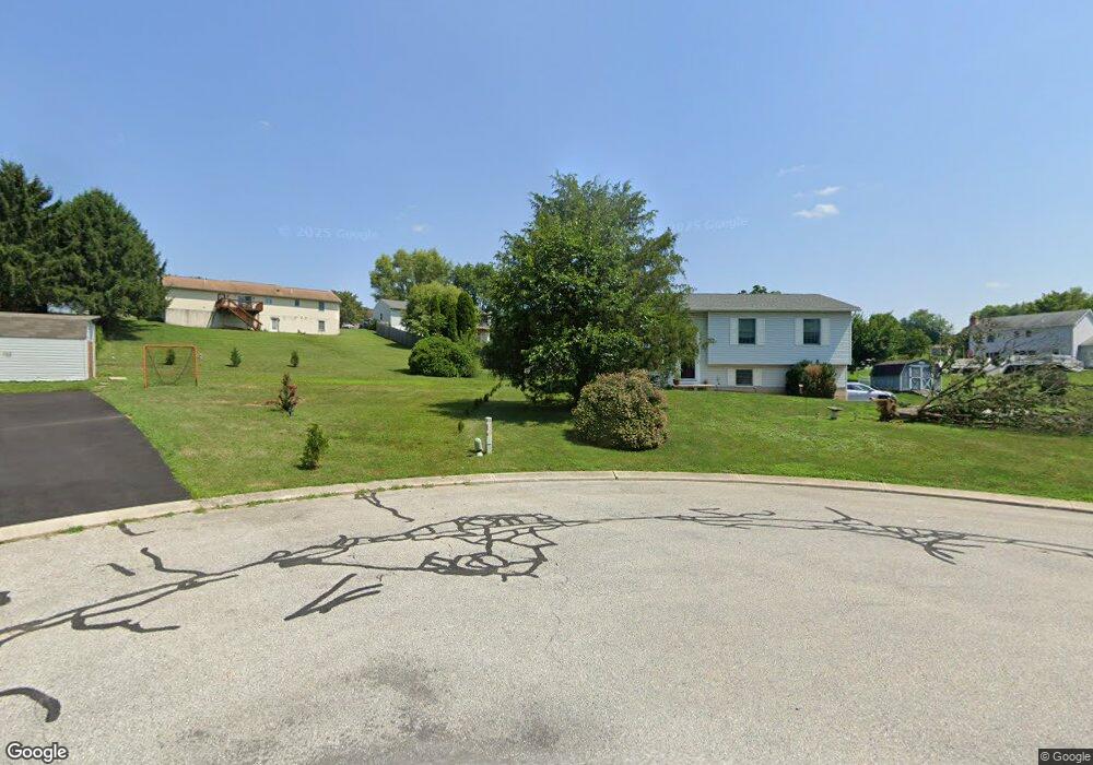
31 Patwil Place Hanover, PA 17331
Estimated Value: $250,418 - $327,000
3
Beds
2
Baths
1,096
Sq Ft
$260/Sq Ft
Est. Value
About This Home
This home is located at 31 Patwil Place, Hanover, PA 17331 and is currently estimated at $285,355, approximately $260 per square foot. 31 Patwil Place is a home located in York County with nearby schools including South Western Senior High School and St Joseph Catholic School.
Ownership History
Date
Name
Owned For
Owner Type
Purchase Details
Closed on
May 3, 2007
Sold by
Lazoff Michael and Lazoff Pamela L
Bought by
Lazoff Michael A
Current Estimated Value
Home Financials for this Owner
Home Financials are based on the most recent Mortgage that was taken out on this home.
Original Mortgage
$158,000
Outstanding Balance
$96,473
Interest Rate
6.24%
Mortgage Type
New Conventional
Estimated Equity
$188,882
Purchase Details
Closed on
Sep 26, 1995
Bought by
Lazoff Michael and Lazoff Pamela L
Create a Home Valuation Report for This Property
The Home Valuation Report is an in-depth analysis detailing your home's value as well as a comparison with similar homes in the area
Home Values in the Area
Average Home Value in this Area
Purchase History
| Date | Buyer | Sale Price | Title Company |
|---|---|---|---|
| Lazoff Michael A | -- | None Available | |
| Lazoff Michael | $25,000 | -- |
Source: Public Records
Mortgage History
| Date | Status | Borrower | Loan Amount |
|---|---|---|---|
| Open | Lazoff Michael A | $158,000 |
Source: Public Records
Tax History Compared to Growth
Tax History
| Year | Tax Paid | Tax Assessment Tax Assessment Total Assessment is a certain percentage of the fair market value that is determined by local assessors to be the total taxable value of land and additions on the property. | Land | Improvement |
|---|---|---|---|---|
| 2025 | $4,141 | $123,990 | $35,500 | $88,490 |
| 2024 | $4,141 | $123,990 | $35,500 | $88,490 |
| 2023 | $4,067 | $123,990 | $35,500 | $88,490 |
| 2022 | $4,004 | $123,990 | $35,500 | $88,490 |
| 2021 | $3,821 | $123,990 | $35,500 | $88,490 |
| 2020 | $3,821 | $123,990 | $35,500 | $88,490 |
| 2019 | $3,748 | $123,990 | $35,500 | $88,490 |
| 2018 | $3,663 | $123,210 | $35,500 | $87,710 |
| 2017 | $3,592 | $123,210 | $35,500 | $87,710 |
| 2016 | $0 | $123,210 | $35,500 | $87,710 |
| 2015 | -- | $123,210 | $35,500 | $87,710 |
| 2014 | -- | $123,210 | $35,500 | $87,710 |
Source: Public Records
Map
Nearby Homes
- 2861 Baltimore Pike
- 626 Ledger Dr
- TBB Heritage Dr Unit WHITEHALL II
- 41 Michelle Way
- TBB Michelle Way Unit GLENSHAW
- 90 Michelle Way
- Carnegie II Plan at Prinland Heights - Single Family Homes
- Edgewood II Plan at Prinland Heights - Single Family Homes
- Newbury II Plan at Prinland Heights - Single Family Homes
- Cranberry II Plan at Prinland Heights - Single Family Homes
- Bridgeport II Plan at Prinland Heights - Single Family Homes
- Glenshaw Plan at Prinland Heights - Single Family Homes
- New Haven II Plan at Prinland Heights - Single Family Homes
- Regent II Plan at Prinland Heights - Single Family Homes
- Whitehall II Plan at Prinland Heights - Single Family Homes
- 205 Pheasant Ridge Rd
- 2401 Baltimore Pike
- 59 Pheasant Ridge Rd
- Homesite 96 Pheasant Ridge Rd
- 130 Pheasant Ridge Rd