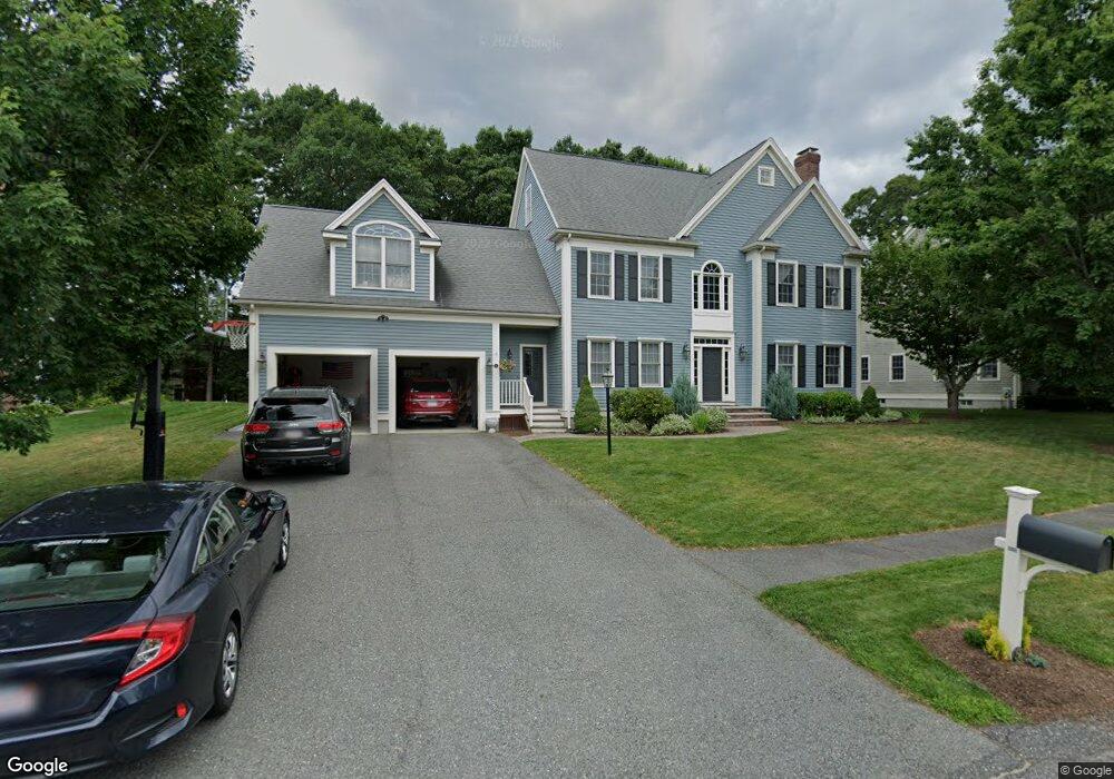
31 Pheasant Hollow Rd Natick, MA 01760
Estimated Value: $1,491,376 - $1,795,000
4
Beds
3
Baths
3,229
Sq Ft
$511/Sq Ft
Est. Value
About This Home
This home is located at 31 Pheasant Hollow Rd, Natick, MA 01760 and is currently estimated at $1,651,344, approximately $511 per square foot. 31 Pheasant Hollow Rd is a home located in Middlesex County with nearby schools including Natick High School, J F Kennedy Middle School, and Johnson Elementary School.
Ownership History
Date
Name
Owned For
Owner Type
Purchase Details
Closed on
Aug 26, 2002
Sold by
B & B Land Corp
Bought by
Zirlen David B and Zirlen Julianne
Current Estimated Value
Home Financials for this Owner
Home Financials are based on the most recent Mortgage that was taken out on this home.
Original Mortgage
$520,000
Outstanding Balance
$218,248
Interest Rate
6.57%
Mortgage Type
Purchase Money Mortgage
Estimated Equity
$1,433,096
Create a Home Valuation Report for This Property
The Home Valuation Report is an in-depth analysis detailing your home's value as well as a comparison with similar homes in the area
Home Values in the Area
Average Home Value in this Area
Purchase History
| Date | Buyer | Sale Price | Title Company |
|---|---|---|---|
| Zirlen David B | $770,000 | -- |
Source: Public Records
Mortgage History
| Date | Status | Borrower | Loan Amount |
|---|---|---|---|
| Open | Zirlen David B | $520,000 |
Source: Public Records
Tax History Compared to Growth
Tax History
| Year | Tax Paid | Tax Assessment Tax Assessment Total Assessment is a certain percentage of the fair market value that is determined by local assessors to be the total taxable value of land and additions on the property. | Land | Improvement |
|---|---|---|---|---|
| 2025 | $16,102 | $1,346,300 | $487,100 | $859,200 |
| 2024 | $15,563 | $1,269,400 | $461,400 | $808,000 |
| 2023 | $14,284 | $1,130,100 | $429,600 | $700,500 |
| 2022 | $13,990 | $1,048,700 | $387,700 | $661,000 |
| 2021 | $13,607 | $999,800 | $382,600 | $617,200 |
| 2020 | $13,399 | $984,500 | $367,300 | $617,200 |
| 2019 | $12,513 | $984,500 | $367,300 | $617,200 |
| 2018 | $11,327 | $868,000 | $354,600 | $513,400 |
| 2017 | $11,415 | $846,200 | $342,300 | $503,900 |
| 2016 | $11,419 | $841,500 | $342,300 | $499,200 |
| 2015 | $10,984 | $794,800 | $342,300 | $452,500 |
Source: Public Records
Map
Nearby Homes
- 26 Walden Dr Unit 4
- 4 Sylvia Ave
- 12 Walden Dr Unit 19
- 9 Silver Hill Ln Unit 19
- 46 Silver Hill Ln Unit 1
- 32 Silver Hill Ln Unit 1
- 40 Silver Hill Ln Unit 4
- 51 Village Brook Ln Unit 16
- 57 Village Brook Ln Unit 5
- 50 Village Brook Ln Unit 4
- 91 Speen St
- 1 Glen St Unit B
- 4 Village Rock Ln Unit 9
- 6 Village Rock Ln Unit 17
- 5 Village Rock Ln Unit 24
- 1 Fern St
- 38 Ranger Rd
- 150 2nd St Unit 310
- 11 Weld St Unit 37
- 7 Weld St Unit 50
- 33 Pheasant Hollow Rd
- 29 Pheasant Hollow Rd
- 10 Samuel Path
- 2 Samuel Path
- 1 Katie Path
- 8 Samuel Path
- 13 Samuel Path
- 30 Pheasant Hollow Rd
- 28 Pheasant Hollow Rd
- 4 Samuel Path
- 35 Pheasant Hollow Rd
- 35 Pheasant Hollow Rd Unit S.Family
- 35 Pheasant Hollow Rd Unit 35
- 32 Pheasant Hollow Rd
- 1 Samuel Path
- 2 Katie Path
- 17 Samuel Path
- 3 Katie Path
- 6 Samuel Path
- 15 Samuel Path