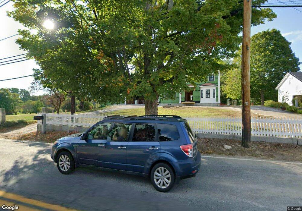
31 Pleasant St Dunstable, MA 01827
Estimated Value: $284,000 - $1,257,758
4
Beds
2
Baths
2,550
Sq Ft
$353/Sq Ft
Est. Value
About This Home
This home is located at 31 Pleasant St, Dunstable, MA 01827 and is currently estimated at $899,940, approximately $352 per square foot. 31 Pleasant St is a home located in Middlesex County with nearby schools including Groton Dunstable Regional High School and Academy of Notre Dame - Upper School.
Ownership History
Date
Name
Owned For
Owner Type
Purchase Details
Closed on
Dec 12, 2024
Sold by
Thompson Michael L and Thompson Karen S
Bought by
Karen S Thompson T S and Karen Thompson
Current Estimated Value
Purchase Details
Closed on
May 21, 2003
Sold by
Thompson Judith
Bought by
Thompson Karen S and Thompson Michael L
Purchase Details
Closed on
Feb 24, 1988
Sold by
General Woodworking
Bought by
Thompson C Leslie
Create a Home Valuation Report for This Property
The Home Valuation Report is an in-depth analysis detailing your home's value as well as a comparison with similar homes in the area
Home Values in the Area
Average Home Value in this Area
Purchase History
| Date | Buyer | Sale Price | Title Company |
|---|---|---|---|
| Karen S Thompson T S | -- | None Available | |
| Karen S Thompson T S | -- | None Available | |
| Karen S Thompson T S | -- | None Available | |
| Thompson Karen S | $550,000 | -- | |
| Thompson Karen S | $550,000 | -- | |
| Thompson C Leslie | $165,000 | -- |
Source: Public Records
Mortgage History
| Date | Status | Borrower | Loan Amount |
|---|---|---|---|
| Previous Owner | Thompson C Leslie | $100,000 |
Source: Public Records
Tax History Compared to Growth
Tax History
| Year | Tax Paid | Tax Assessment Tax Assessment Total Assessment is a certain percentage of the fair market value that is determined by local assessors to be the total taxable value of land and additions on the property. | Land | Improvement |
|---|---|---|---|---|
| 2025 | $3,559 | $258,800 | $258,800 | $0 |
| 2024 | $8,204 | $587,700 | $232,100 | $355,600 |
| 2023 | $8,263 | $552,000 | $232,100 | $319,900 |
| 2022 | $8,044 | $527,500 | $232,100 | $295,400 |
| 2021 | $25,722 | $480,800 | $210,600 | $270,200 |
| 2020 | $7,937 | $471,300 | $210,600 | $260,700 |
| 2019 | $7,796 | $457,000 | $210,600 | $246,400 |
| 2018 | $6,771 | $436,300 | $205,400 | $230,900 |
| 2017 | $7,344 | $431,500 | $205,400 | $226,100 |
| 2016 | $6,976 | $421,500 | $197,200 | $224,300 |
| 2015 | $6,610 | $395,100 | $169,500 | $225,600 |
| 2014 | $6,231 | $395,100 | $169,500 | $225,600 |
Source: Public Records
Map
Nearby Homes
- 319 Pleasant St
- 0 Lowell St
- 153 Off Pond St
- 446 Westford St
- 45 Red Gate Rd
- 91 Century Way
- 41 Pinebrook Rd
- 19 Georgetown Dr
- 5 Doucet Ave
- 63 Wilderness Dr Unit Derby 2
- 1 Doucet Ave
- 58 Wilderness Dr
- 660 Old Dunstable Rd
- 50 Wilderness Dr
- 65 Wilderness Dr
- 1 Wilderness Dr
- 2 Wilderness Dr
- 4 Wilderness Dr
- 79 Wilderness Dr
- 3 Wilderness Dr