31 Point St Natick, MA 01760
Estimated Value: $1,420,000 - $3,310,000
4
Beds
3
Baths
3,007
Sq Ft
$902/Sq Ft
Est. Value
About This Home
This home is located at 31 Point St, Natick, MA 01760 and is currently estimated at $2,712,792, approximately $902 per square foot. 31 Point St is a home located in Middlesex County with nearby schools including Natick High School, Johnson Elementary School, and J F Kennedy Middle School.
Ownership History
Date
Name
Owned For
Owner Type
Purchase Details
Closed on
Aug 29, 2013
Sold by
31 Point Street Rt
Bought by
Safar Gaston
Current Estimated Value
Home Financials for this Owner
Home Financials are based on the most recent Mortgage that was taken out on this home.
Original Mortgage
$1,000,000
Outstanding Balance
$746,232
Interest Rate
4.4%
Mortgage Type
Purchase Money Mortgage
Estimated Equity
$1,966,560
Create a Home Valuation Report for This Property
The Home Valuation Report is an in-depth analysis detailing your home's value as well as a comparison with similar homes in the area
Home Values in the Area
Average Home Value in this Area
Purchase History
| Date | Buyer | Sale Price | Title Company |
|---|---|---|---|
| Safar Gaston | $1,500,000 | -- |
Source: Public Records
Mortgage History
| Date | Status | Borrower | Loan Amount |
|---|---|---|---|
| Open | Safar Gaston | $1,000,000 |
Source: Public Records
Tax History
| Year | Tax Paid | Tax Assessment Tax Assessment Total Assessment is a certain percentage of the fair market value that is determined by local assessors to be the total taxable value of land and additions on the property. | Land | Improvement |
|---|---|---|---|---|
| 2025 | $37,454 | $3,131,600 | $915,500 | $2,216,100 |
| 2024 | $33,214 | $2,709,100 | $811,700 | $1,897,400 |
| 2023 | $32,030 | $2,534,000 | $775,000 | $1,759,000 |
| 2022 | $30,238 | $2,266,700 | $641,200 | $1,625,500 |
| 2021 | $28,689 | $2,107,900 | $575,900 | $1,532,000 |
| 2020 | $13,333 | $2,107,900 | $575,900 | $1,532,000 |
| 2019 | $26,791 | $2,107,900 | $575,900 | $1,532,000 |
| 2018 | $26,475 | $2,028,700 | $576,900 | $1,451,800 |
| 2017 | $21,527 | $1,595,800 | $607,400 | $988,400 |
| 2016 | $19,140 | $1,410,500 | $573,800 | $836,700 |
| 2015 | $15,050 | $1,089,000 | $533,100 | $555,900 |
Source: Public Records
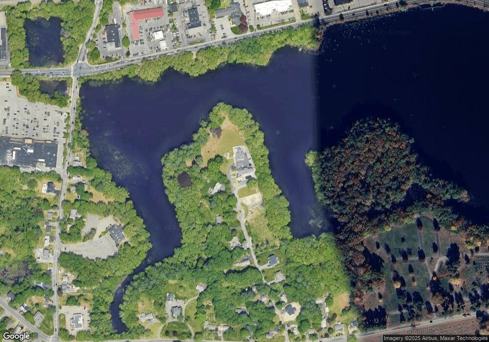
Map
Nearby Homes
- 1 Proctor St
- 40 Silver Hill Ln Unit 4
- 21 Kelsey Rd
- 28 Sylvester Rd
- 26 Wellesley Ave Unit B
- 1 Fern St
- 46 Silver Hill Ln Unit 1
- 98 W Central St
- 36 Silver Hill Ln Unit 21
- 3 Silver Hill Ln Unit 6
- 16 West St
- 26 Fairway Cir Unit 26
- 5 Lanes End
- 25 Forest Ave
- 157 Mill St
- 62 Oakland St
- 56 Fisher St
- 58 W Central St
- 9 Bellevue Rd
- 50 Village Brook Ln Unit 4