31 Quail Run Tewksbury, MA 01876
Estimated Value: $440,000 - $518,000
2
Beds
2
Baths
1,082
Sq Ft
$432/Sq Ft
Est. Value
About This Home
This home is located at 31 Quail Run, Tewksbury, MA 01876 and is currently estimated at $467,373, approximately $431 per square foot. 31 Quail Run is a home located in Middlesex County.
Ownership History
Date
Name
Owned For
Owner Type
Purchase Details
Closed on
Nov 12, 2019
Sold by
Caruso Pasquale and Caruso Robin
Bought by
Pasquale & Robin Caruso Ret
Current Estimated Value
Purchase Details
Closed on
May 23, 1990
Sold by
Sullivan Robert P
Bought by
Caruso Pasquale
Home Financials for this Owner
Home Financials are based on the most recent Mortgage that was taken out on this home.
Original Mortgage
$123,400
Interest Rate
10.13%
Mortgage Type
Purchase Money Mortgage
Create a Home Valuation Report for This Property
The Home Valuation Report is an in-depth analysis detailing your home's value as well as a comparison with similar homes in the area
Home Values in the Area
Average Home Value in this Area
Purchase History
| Date | Buyer | Sale Price | Title Company |
|---|---|---|---|
| Pasquale & Robin Caruso Ret | -- | -- | |
| Caruso Pasquale | $129,900 | -- |
Source: Public Records
Mortgage History
| Date | Status | Borrower | Loan Amount |
|---|---|---|---|
| Previous Owner | Caruso Pasquale | $30,000 | |
| Previous Owner | Caruso Pasquale | $112,000 | |
| Previous Owner | Caruso Pasquale | $22,790 | |
| Previous Owner | Caruso Pasquale | $123,400 |
Source: Public Records
Tax History Compared to Growth
Tax History
| Year | Tax Paid | Tax Assessment Tax Assessment Total Assessment is a certain percentage of the fair market value that is determined by local assessors to be the total taxable value of land and additions on the property. | Land | Improvement |
|---|---|---|---|---|
| 2025 | $5,518 | $417,400 | $0 | $417,400 |
| 2024 | $5,151 | $384,700 | $0 | $384,700 |
| 2023 | $4,939 | $350,300 | $0 | $350,300 |
| 2022 | $4,834 | $318,000 | $0 | $318,000 |
| 2021 | $4,738 | $301,400 | $0 | $301,400 |
| 2020 | $4,708 | $294,800 | $0 | $294,800 |
| 2019 | $4,250 | $268,300 | $0 | $268,300 |
| 2018 | $4,176 | $258,900 | $0 | $258,900 |
| 2017 | $4,016 | $246,200 | $0 | $246,200 |
| 2016 | $4,032 | $246,600 | $0 | $246,600 |
| 2015 | $3,806 | $232,500 | $0 | $232,500 |
| 2014 | $3,828 | $237,600 | $0 | $237,600 |
Source: Public Records
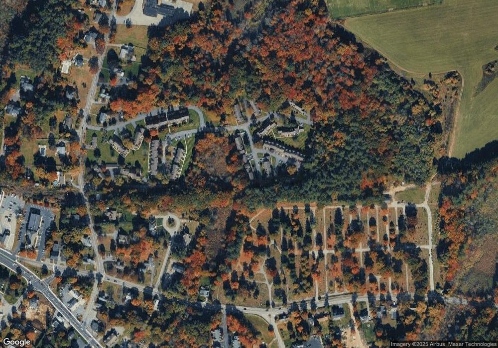
Map
Nearby Homes
- 13 Berkeley
- 20 Sophie Ruth Way
- 1 Tremblay Ave
- 1117 Emerald Ct
- 1224 Emerald Ct
- 11 Orchard St
- 910 Livingston St
- 12 Hillcrest Rd
- 1325 Main
- 97 Kendall Rd
- 900 Livingston St
- 18 Newton Ave
- 399 North St
- 43 Patrick Rd
- 61 Patrick Rd
- 1418 Main St Unit 201
- 1170 Livingston St
- 1455 Main St Unit 8
- 172 Patrick Rd
- 101 Squire Ln