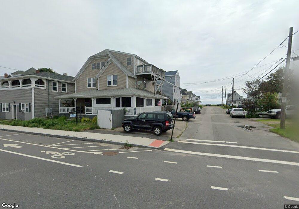
31 R St Hull, MA 02045
The Alphabets NeighborhoodEstimated Value: $659,849 - $767,000
4
Beds
3
Baths
2,160
Sq Ft
$321/Sq Ft
Est. Value
About This Home
This home is located at 31 R St, Hull, MA 02045 and is currently estimated at $693,712, approximately $321 per square foot. 31 R St is a home located in Plymouth County with nearby schools including Lillian M. Jacobs Elementary School, Memorial Middle School, and Hull High School.
Ownership History
Date
Name
Owned For
Owner Type
Purchase Details
Closed on
Aug 6, 2004
Sold by
Smith Jacob W and Smith Myron R
Bought by
Smith Myron R
Current Estimated Value
Home Financials for this Owner
Home Financials are based on the most recent Mortgage that was taken out on this home.
Original Mortgage
$174,000
Outstanding Balance
$87,428
Interest Rate
6.2%
Mortgage Type
Purchase Money Mortgage
Estimated Equity
$606,284
Purchase Details
Closed on
Feb 2, 1993
Sold by
Hull Coop Bk
Bought by
Galway Glenn A and Hawes Cherylan
Purchase Details
Closed on
Jul 29, 1992
Sold by
Goldman Sidney A
Bought by
Hull Coop Bk
Create a Home Valuation Report for This Property
The Home Valuation Report is an in-depth analysis detailing your home's value as well as a comparison with similar homes in the area
Home Values in the Area
Average Home Value in this Area
Purchase History
| Date | Buyer | Sale Price | Title Company |
|---|---|---|---|
| Smith Myron R | -- | -- | |
| Galway Glenn A | $50,000 | -- | |
| Galway Glenn A | $50,000 | -- | |
| Hull Coop Bk | $41,000 | -- | |
| Hull Coop Bk | $41,000 | -- |
Source: Public Records
Mortgage History
| Date | Status | Borrower | Loan Amount |
|---|---|---|---|
| Open | Hull Coop Bk | $174,000 | |
| Previous Owner | Hull Coop Bk | $153,700 |
Source: Public Records
Tax History
| Year | Tax Paid | Tax Assessment Tax Assessment Total Assessment is a certain percentage of the fair market value that is determined by local assessors to be the total taxable value of land and additions on the property. | Land | Improvement |
|---|---|---|---|---|
| 2025 | $6,466 | $577,300 | $276,700 | $300,600 |
| 2024 | $6,082 | $522,100 | $255,500 | $266,600 |
| 2023 | $5,658 | $464,900 | $212,900 | $252,000 |
| 2022 | $5,535 | $441,400 | $202,200 | $239,200 |
| 2021 | $5,558 | $438,300 | $202,200 | $236,100 |
| 2020 | $5,222 | $407,300 | $202,200 | $205,100 |
| 2019 | $4,947 | $379,100 | $180,900 | $198,200 |
| 2018 | $4,714 | $351,300 | $180,900 | $170,400 |
| 2017 | $4,628 | $337,300 | $180,900 | $156,400 |
| 2016 | $4,181 | $310,200 | $180,900 | $129,300 |
| 2015 | $4,029 | $289,000 | $159,700 | $129,300 |
| 2014 | $4,008 | $289,000 | $159,700 | $129,300 |
Source: Public Records
Map
Nearby Homes
- 32 R St
- 800 Nantasket Ave
- 802 Nantasket Ave
- 34 R St
- 798 Nantasket Ave
- 804 Nantasket Ave
- 35 R St
- 36 R St
- 806 Nantasket Ave
- 37 R Street Winter Rental Unit FEB to june
- 37 R Street Winter Rental Unit nov to june
- 37 R Street Winter Rental Unit sept tojune
- 37 R Street Winter Rental Unit 3/1-6/22
- 37 R Street Winter Rental Unit 2/1-6/30
- 37 R Street Winter Rental Unit 10/1-6/26
- 37 R Street Winter Rental Unit sept-june
- 35 Q St
- 37 R St
- 37 R Street Beachside Sept-June
- 37 Q St
Your Personal Tour Guide
Ask me questions while you tour the home.