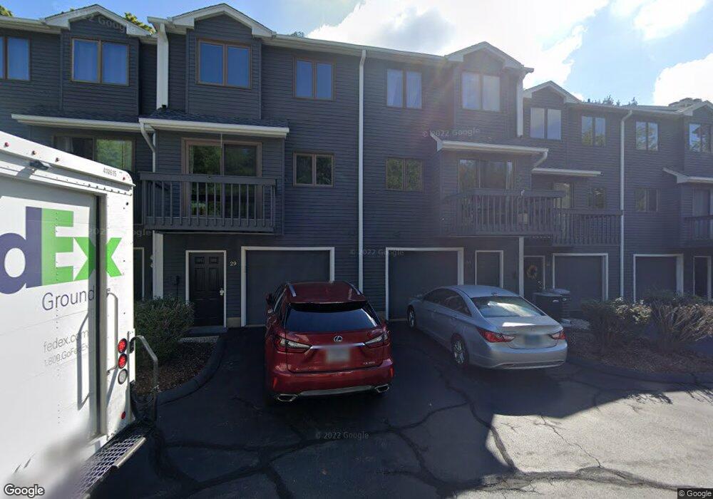
31 Ridge Rd Wethersfield, CT 06109
Estimated Value: $295,000 - $315,068
2
Beds
3
Baths
1,402
Sq Ft
$217/Sq Ft
Est. Value
About This Home
This home is located at 31 Ridge Rd, Wethersfield, CT 06109 and is currently estimated at $304,267, approximately $217 per square foot. 31 Ridge Rd is a home located in Hartford County with nearby schools including Samuel B. Webb Elementary School, Silas Deane Middle School, and Wethersfield High School.
Ownership History
Date
Name
Owned For
Owner Type
Purchase Details
Closed on
Jun 2, 2010
Sold by
Conaghan Sean F
Bought by
Zheng Matthew H
Current Estimated Value
Home Financials for this Owner
Home Financials are based on the most recent Mortgage that was taken out on this home.
Original Mortgage
$142,000
Interest Rate
5.12%
Mortgage Type
Purchase Money Mortgage
Purchase Details
Closed on
Dec 19, 2003
Sold by
Depasquale Patrick and Depasquale Suzanne
Bought by
Conaghan Sean F
Home Financials for this Owner
Home Financials are based on the most recent Mortgage that was taken out on this home.
Original Mortgage
$133,600
Interest Rate
5.96%
Purchase Details
Closed on
Nov 12, 2003
Sold by
Gbd Dev Corp
Bought by
Depasquale Patrick and Depasquale Suzanne
Home Financials for this Owner
Home Financials are based on the most recent Mortgage that was taken out on this home.
Original Mortgage
$133,600
Interest Rate
5.96%
Create a Home Valuation Report for This Property
The Home Valuation Report is an in-depth analysis detailing your home's value as well as a comparison with similar homes in the area
Home Values in the Area
Average Home Value in this Area
Purchase History
| Date | Buyer | Sale Price | Title Company |
|---|---|---|---|
| Zheng Matthew H | $182,000 | -- | |
| Conaghan Sean F | $167,000 | -- | |
| Depasquale Patrick | $110,000 | -- |
Source: Public Records
Mortgage History
| Date | Status | Borrower | Loan Amount |
|---|---|---|---|
| Open | Depasquale Patrick | $114,700 | |
| Closed | Depasquale Patrick | $142,000 | |
| Previous Owner | Depasquale Patrick | $133,600 |
Source: Public Records
Tax History
| Year | Tax Paid | Tax Assessment Tax Assessment Total Assessment is a certain percentage of the fair market value that is determined by local assessors to be the total taxable value of land and additions on the property. | Land | Improvement |
|---|---|---|---|---|
| 2025 | $7,762 | $188,310 | $0 | $188,310 |
| 2024 | $5,098 | $117,950 | $0 | $117,950 |
| 2023 | $4,926 | $117,900 | $0 | $117,900 |
| 2022 | $4,843 | $117,900 | $0 | $117,900 |
| 2021 | $4,795 | $117,900 | $0 | $117,900 |
| 2020 | $4,797 | $117,900 | $0 | $117,900 |
| 2019 | $4,803 | $117,900 | $0 | $117,900 |
| 2018 | $4,677 | $114,700 | $0 | $114,700 |
| 2017 | $4,562 | $114,700 | $0 | $114,700 |
| 2016 | $4,421 | $114,700 | $0 | $114,700 |
| 2015 | $4,380 | $114,700 | $0 | $114,700 |
| 2014 | $4,214 | $114,700 | $0 | $114,700 |
Source: Public Records
Map
Nearby Homes
- 19 Albert Ave
- 1 Brussels Ave
- 1 Bristol St
- 17 Salem St
- 208 Mountain St
- 295 Ridge Rd Unit 8
- 299 Linnmoore St
- 183-185 Cheshire St
- 44 Forster St
- 64 Cromwell St
- 219-221 Jordan Ln
- 2020 Broad St Unit 6
- 166 George St
- 185 Grandview Terrace Unit 187
- 22 Stafford St
- 55 Rutledge Rd
- 43 Marion St
- 570 Broadview Terrace
- 510 New Britain Ave
- 173 Timber Trail
Your Personal Tour Guide
Ask me questions while you tour the home.