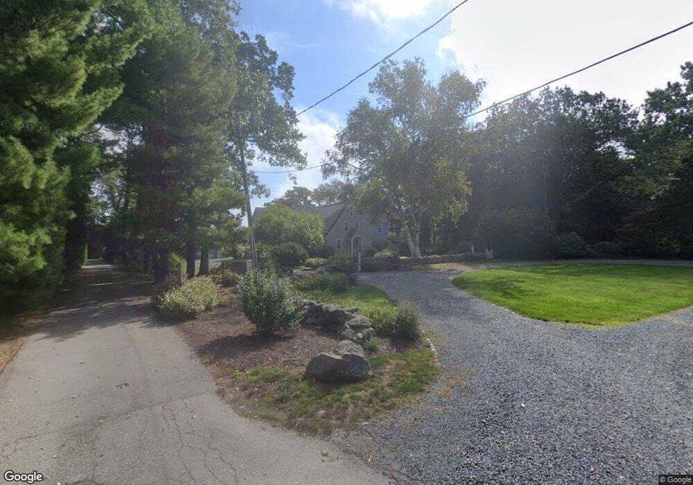
31 River Rd Cohasset, MA 02025
Estimated Value: $2,594,000 - $3,048,000
5
Beds
5
Baths
4,280
Sq Ft
$665/Sq Ft
Est. Value
About This Home
This home is located at 31 River Rd, Cohasset, MA 02025 and is currently estimated at $2,847,638, approximately $665 per square foot. 31 River Rd is a home located in Norfolk County with nearby schools including Joseph Osgood School, Deer Hill School, and Cohasset Middle School.
Ownership History
Date
Name
Owned For
Owner Type
Purchase Details
Closed on
Jan 28, 2020
Sold by
Donald F Steele T
Bought by
Steele Ft
Current Estimated Value
Purchase Details
Closed on
Oct 11, 2017
Sold by
Steele Donald F
Bought by
Donald F Steele T
Purchase Details
Closed on
Oct 28, 1965
Bought by
Steele Donald F and Steele Joyce M
Create a Home Valuation Report for This Property
The Home Valuation Report is an in-depth analysis detailing your home's value as well as a comparison with similar homes in the area
Home Values in the Area
Average Home Value in this Area
Purchase History
| Date | Buyer | Sale Price | Title Company |
|---|---|---|---|
| Steele Ft | -- | None Available | |
| Donald F Steele T | -- | -- | |
| Steele Donald F | -- | -- |
Source: Public Records
Tax History Compared to Growth
Tax History
| Year | Tax Paid | Tax Assessment Tax Assessment Total Assessment is a certain percentage of the fair market value that is determined by local assessors to be the total taxable value of land and additions on the property. | Land | Improvement |
|---|---|---|---|---|
| 2025 | $28,117 | $2,428,100 | $1,282,900 | $1,145,200 |
| 2024 | $28,328 | $2,327,700 | $1,165,900 | $1,161,800 |
| 2023 | $25,614 | $2,170,700 | $1,048,900 | $1,121,800 |
| 2022 | $25,129 | $2,000,700 | $1,048,900 | $951,800 |
| 2021 | $21,429 | $1,643,300 | $1,048,900 | $594,400 |
| 2020 | $18,491 | $1,425,700 | $1,048,900 | $376,800 |
| 2019 | $18,392 | $1,425,700 | $1,048,900 | $376,800 |
| 2018 | $18,235 | $1,425,700 | $1,048,900 | $376,800 |
| 2017 | $18,441 | $1,412,000 | $1,048,900 | $363,100 |
| 2016 | $18,187 | $1,412,000 | $1,048,900 | $363,100 |
| 2015 | $17,947 | $1,412,000 | $1,048,900 | $363,100 |
| 2014 | $17,706 | $1,412,000 | $1,048,900 | $363,100 |
Source: Public Records
Map
Nearby Homes
- 392 S Main St
- 309 S Main St
- 817 Country Way
- 70 Black Horse Ln
- 68 Black Horse Ln
- 26 Mordecai Lincoln Rd
- 212 S Main St
- 40 Brewster Rd
- 98 Black Horse Ln
- 100 Pond St Unit 10
- 40 Pond St
- 7 Border St
- 73 Pond St
- 87 Elm St Unit 215
- 124 Elm St Unit 202
- 124 Elm St Unit 308
- 16 3 Ring Rd
- 26 Ash St
- 46 Pond St
- 4 Margin St Unit A