31 Rolling Hills Dr Lake Ariel, PA 18436
Estimated Value: $325,000 - $399,000
3
Beds
2
Baths
1,315
Sq Ft
$264/Sq Ft
Est. Value
About This Home
This home is located at 31 Rolling Hills Dr, Lake Ariel, PA 18436 and is currently estimated at $346,513, approximately $263 per square foot. 31 Rolling Hills Dr is a home located in Wayne County with nearby schools including Wallenpaupack Area High School.
Ownership History
Date
Name
Owned For
Owner Type
Purchase Details
Closed on
Jul 23, 2019
Sold by
Kineyko Anne K
Bought by
Williams Michael J and Williams Lynn M
Current Estimated Value
Purchase Details
Closed on
Dec 10, 2014
Sold by
Kineyko Anne K and Kuceravy John A
Bought by
Kineyko Anne K
Purchase Details
Closed on
Dec 10, 2011
Sold by
Kineyko Anne K
Bought by
Kineyko Anne K and Kuceravy John A
Home Financials for this Owner
Home Financials are based on the most recent Mortgage that was taken out on this home.
Original Mortgage
$100,000
Interest Rate
4.09%
Mortgage Type
New Conventional
Purchase Details
Closed on
Mar 30, 2007
Sold by
Tolbert Todd M and Gundersen Kirsten J
Bought by
Kineyko Anne K
Home Financials for this Owner
Home Financials are based on the most recent Mortgage that was taken out on this home.
Original Mortgage
$184,500
Interest Rate
6.18%
Mortgage Type
New Conventional
Create a Home Valuation Report for This Property
The Home Valuation Report is an in-depth analysis detailing your home's value as well as a comparison with similar homes in the area
Home Values in the Area
Average Home Value in this Area
Purchase History
| Date | Buyer | Sale Price | Title Company |
|---|---|---|---|
| Williams Michael J | $174,700 | None Available | |
| Kineyko Anne K | -- | None Available | |
| Kineyko Anne K | -- | None Available | |
| Kineyko Anne K | $205,000 | None Available |
Source: Public Records
Mortgage History
| Date | Status | Borrower | Loan Amount |
|---|---|---|---|
| Previous Owner | Kineyko Anne K | $100,000 | |
| Previous Owner | Kineyko Anne K | $184,500 |
Source: Public Records
Tax History Compared to Growth
Tax History
| Year | Tax Paid | Tax Assessment Tax Assessment Total Assessment is a certain percentage of the fair market value that is determined by local assessors to be the total taxable value of land and additions on the property. | Land | Improvement |
|---|---|---|---|---|
| 2025 | $3,080 | $211,500 | $30,400 | $181,100 |
| 2024 | $2,941 | $211,500 | $30,400 | $181,100 |
| 2023 | $4,121 | $211,500 | $30,400 | $181,100 |
| 2022 | $2,920 | $134,700 | $16,300 | $118,400 |
| 2021 | $2,868 | $134,700 | $16,300 | $118,400 |
| 2020 | $2,860 | $134,700 | $16,300 | $118,400 |
| 2019 | $2,683 | $134,700 | $16,300 | $118,400 |
| 2018 | $2,630 | $134,700 | $16,300 | $118,400 |
| 2017 | $616 | $134,700 | $16,300 | $118,400 |
| 2016 | $2,487 | $134,700 | $16,300 | $118,400 |
| 2014 | -- | $134,700 | $16,300 | $118,400 |
Source: Public Records
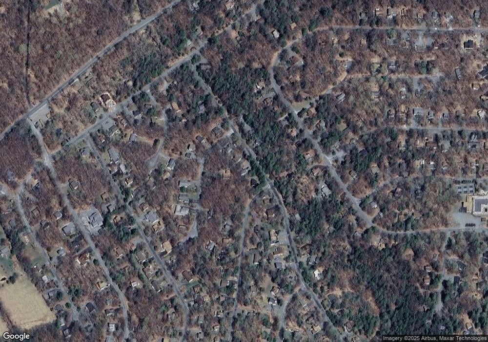
Map
Nearby Homes
- 1013 Arrowhead Ct
- 834 Goose Pond Rd
- 1143 Wallenpaupack Dr
- 1031 Canary Ln
- 1085 Beaver Lake Dr
- 1006 Rolling Hills Dr
- 5 Wallenpaupack Dr
- 54 Wallenpaupack Dr
- 1109 Wallenpaupack Dr
- 901 Goose Pond Rd
- 41 Tomahawk Rd
- 1050 Rainbow Dr
- 3 Cypress Ct
- 1045 Mountain Top Dr
- 1048 Aquarius Dr
- 1138 Aquarius Dr
- 0 Lacawac Rd
- 1151 Mustang Rd
- 20 Mustang Rd
- 1011 Salem Place
- 1071 Rolling Hills Dr
- 1067 Rolling Hills Dr
- 1003 Arrowhead Ct
- 1066 Rolling Hills Dr
- 1078 Rolling Hills Dr
- 0 Arrowhead Ct
- 157 Arrowhead Ct
- 142 Arrowhead Ct
- Lot 153 Arrowhead Ct
- Lot Arrowhead Ct
- 149 Arrowhead Ct
- 138 Rolling Hills Dr
- 26 Arrowhead Ct
- 1085 Rolling Hills Dr
- 40 Rolling Hills Dr
- 1059 Rolling Hills Dr
- 24 Arrowhead Ct
- 4 Arrowhead Ct
- 1018 Arrowhead Ct
- 1057 Red Hawk Dr