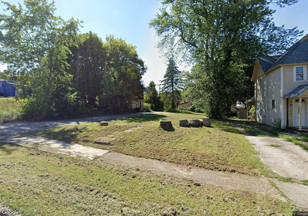
31 Rowland Ave Mansfield, OH 44903
Estimated Value: $87,000 - $384,000
--
Bed
2
Baths
--
Sq Ft
5,227
Sq Ft Lot
About This Home
This home is located at 31 Rowland Ave, Mansfield, OH 44903 and is currently estimated at $170,999. 31 Rowland Ave is a home located in Richland County with nearby schools including Goal Digital Academy, Mansfield Elective Academy, and St. Peter's High School/Junior High.
Ownership History
Date
Name
Owned For
Owner Type
Purchase Details
Closed on
Oct 28, 2016
Sold by
Mecurio Scott B
Bought by
Lawhorn Mark
Current Estimated Value
Purchase Details
Closed on
Apr 12, 2000
Sold by
Shrf Bruce L Brewer Pr
Bought by
Mercurio Scott B and Mercurio Deanna J
Purchase Details
Closed on
Nov 14, 1995
Sold by
Jewett Bruce
Bought by
Brewer Kimberly L and Brewer Bruce L
Purchase Details
Closed on
Sep 1, 1985
Create a Home Valuation Report for This Property
The Home Valuation Report is an in-depth analysis detailing your home's value as well as a comparison with similar homes in the area
Home Values in the Area
Average Home Value in this Area
Purchase History
| Date | Buyer | Sale Price | Title Company |
|---|---|---|---|
| Lawhorn Mark | $2,345 | Chicago Title Agency Of N Ce | |
| Mercurio Scott B | $38,218 | -- | |
| Brewer Kimberly L | $29,500 | -- | |
| -- | $17,000 | -- |
Source: Public Records
Mortgage History
| Date | Status | Borrower | Loan Amount |
|---|---|---|---|
| Closed | Brewer Kimberly L | -- |
Source: Public Records
Tax History Compared to Growth
Tax History
| Year | Tax Paid | Tax Assessment Tax Assessment Total Assessment is a certain percentage of the fair market value that is determined by local assessors to be the total taxable value of land and additions on the property. | Land | Improvement |
|---|---|---|---|---|
| 2024 | $58 | $1,150 | $1,150 | $0 |
| 2023 | $55 | $1,150 | $1,150 | $0 |
| 2022 | $63 | $1,110 | $1,110 | $0 |
| 2021 | $64 | $1,110 | $1,110 | $0 |
| 2020 | $65 | $1,110 | $1,110 | $0 |
| 2019 | $72 | $1,110 | $1,110 | $0 |
| 2018 | $71 | $1,110 | $1,110 | $0 |
| 2017 | $70 | $1,110 | $1,110 | $0 |
| 2016 | $151 | $2,340 | $2,340 | $0 |
| 2015 | $144 | $2,340 | $2,340 | $0 |
| 2014 | $142 | $2,340 | $2,340 | $0 |
| 2012 | $115 | $2,460 | $2,460 | $0 |
Source: Public Records
Map
Nearby Homes
- 80 Rowland Ave
- 96 Helen Ave
- 38 Baldwin Ave
- 24 Stewart Ave S
- 37 Baldwin Ave
- 76 Bartley Ave
- 21 Glenwood Blvd
- 120 Gettings Place
- 88 Sherman Ave
- 611 Park Ave W
- 116 Penn Ave
- 406 Sherman Place
- 71 Glenwood Blvd
- 41 Parkwood Blvd
- 126 Dawson Ave
- 114 Vennum Ave
- 132 Sycamore St
- 118 Lind Ave
- 118 Parkwood Blvd
- 237 Helen Ave
- 37 Rowland Ave
- 497 Bissman Ct
- 41 Rowland Ave
- 500 Bissman Ct
- 45 Rowland Ave
- 40 Rowland Ave
- 508 Bissman Ct
- 36 Rowland Ave
- 507 W 3rd St
- 500 Park Ave W
- 47 Rowland Ave
- 511 W 3rd St
- 28 Rowland Ave
- 38 Rowland Ave Unit 40
- 520 Bissman Ct Unit 522
- 42 Rowland Ave
- 518 Park Ave W
- 46 Rowland Ave
- 50 Rowland Ave
- 50 Rowland Ave Unit 50.5 Rowland