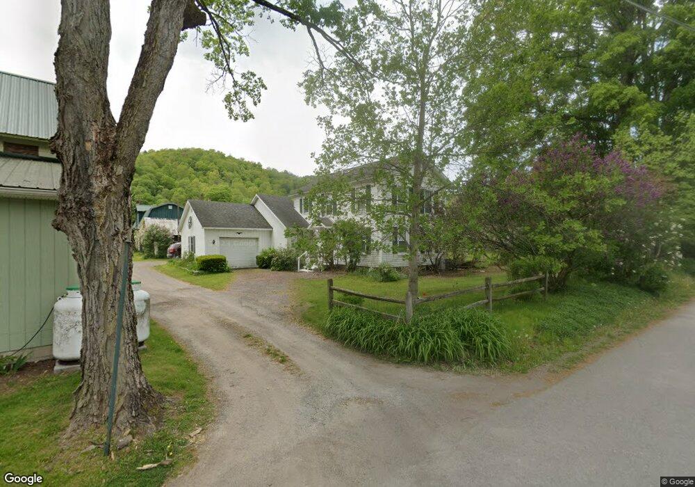
31 Rusty Iron Ln Roaring Branch, PA 17765
Estimated Value: $181,869 - $197,000
4
Beds
2
Baths
1,851
Sq Ft
$102/Sq Ft
Est. Value
About This Home
This home is located at 31 Rusty Iron Ln, Roaring Branch, PA 17765 and is currently estimated at $189,467, approximately $102 per square foot. 31 Rusty Iron Ln is a home with nearby schools including Canton Area Elementary School and Canton Junior/Senior High School.
Ownership History
Date
Name
Owned For
Owner Type
Purchase Details
Closed on
May 22, 2024
Sold by
Baker Lynette A
Bought by
Dapp Chase A and Dapp Alexa M
Current Estimated Value
Home Financials for this Owner
Home Financials are based on the most recent Mortgage that was taken out on this home.
Original Mortgage
$176,004
Outstanding Balance
$172,383
Interest Rate
6.88%
Mortgage Type
VA
Estimated Equity
$17,084
Purchase Details
Closed on
Oct 28, 2005
Sold by
Baker Robert F and Baker Patricia A
Bought by
Baker Lynette A and Baker Robert F
Purchase Details
Closed on
Sep 12, 2005
Sold by
Baker Robert F and Baker Patricia A
Bought by
Skalecki Michael A and Skalecki Terri L
Create a Home Valuation Report for This Property
The Home Valuation Report is an in-depth analysis detailing your home's value as well as a comparison with similar homes in the area
Purchase History
We collect this data history from publicly available records. To have your information removed, we recommend requesting removal directly through your county’s website.
| Date | Buyer | Sale Price | Title Company |
|---|---|---|---|
| Dapp Chase A | $172,300 | None Listed On Document | |
| Baker Lynette A | -- | None Available | |
| Skalecki Michael A | -- | None Available |
Source: Public Records
Mortgage History
We collect this data history from publicly available records. To have your information removed, we recommend requesting removal directly through your county’s website.
| Date | Status | Borrower | Loan Amount |
|---|---|---|---|
| Open | Dapp Chase A | $176,004 |
Source: Public Records
Tax History
| Year | Tax Paid | Tax Assessment Tax Assessment Total Assessment is a certain percentage of the fair market value that is determined by local assessors to be the total taxable value of land and additions on the property. | Land | Improvement |
|---|---|---|---|---|
| 2026 | $2,455 | $177,900 | $16,610 | $161,290 |
| 2025 | $2,441 | $177,900 | $16,610 | $161,290 |
| 2024 | $3,993 | $177,900 | $16,610 | $161,290 |
| 2023 | $2,545 | $94,230 | $12,080 | $82,150 |
| 2022 | $2,563 | $94,230 | $12,080 | $82,150 |
| 2021 | $2,560 | $94,230 | $12,080 | $82,150 |
| 2020 | $2,659 | $94,230 | $12,080 | $82,150 |
| 2019 | $2,576 | $94,230 | $12,080 | $82,150 |
| 2018 | $2,581 | $94,230 | $12,080 | $82,150 |
| 2017 | -- | $94,230 | $12,080 | $82,150 |
| 2016 | $2,575 | $94,230 | $12,080 | $82,150 |
| 2015 | -- | $94,230 | $12,080 | $82,150 |
| 2014 | -- | $94,230 | $12,080 | $82,150 |
Source: Public Records
Map
Nearby Homes
- 0 Peepaw Rd
- 116 Collister Rd
- 11068 Route 14 Hwy
- 13632 Route 414
- 70 Greens Hill Rd
- 7129 Route 14
- 8 Marsh Hill Rd
- 0 Taylor Run Rd
- 66 T-329
- 828 Bloss Mountain Rd
- 49-51 T-329
- 5037 Blockhouse Rd
- 108 S Washington St
- 94 N Center St
- 160 N Center St
- 151 Montague St
- 528 Troy St
- 99 Brann St
- 12240 Route 154
- 38 Hillside Ln
Your Personal Tour Guide
Ask me questions while you tour the home.