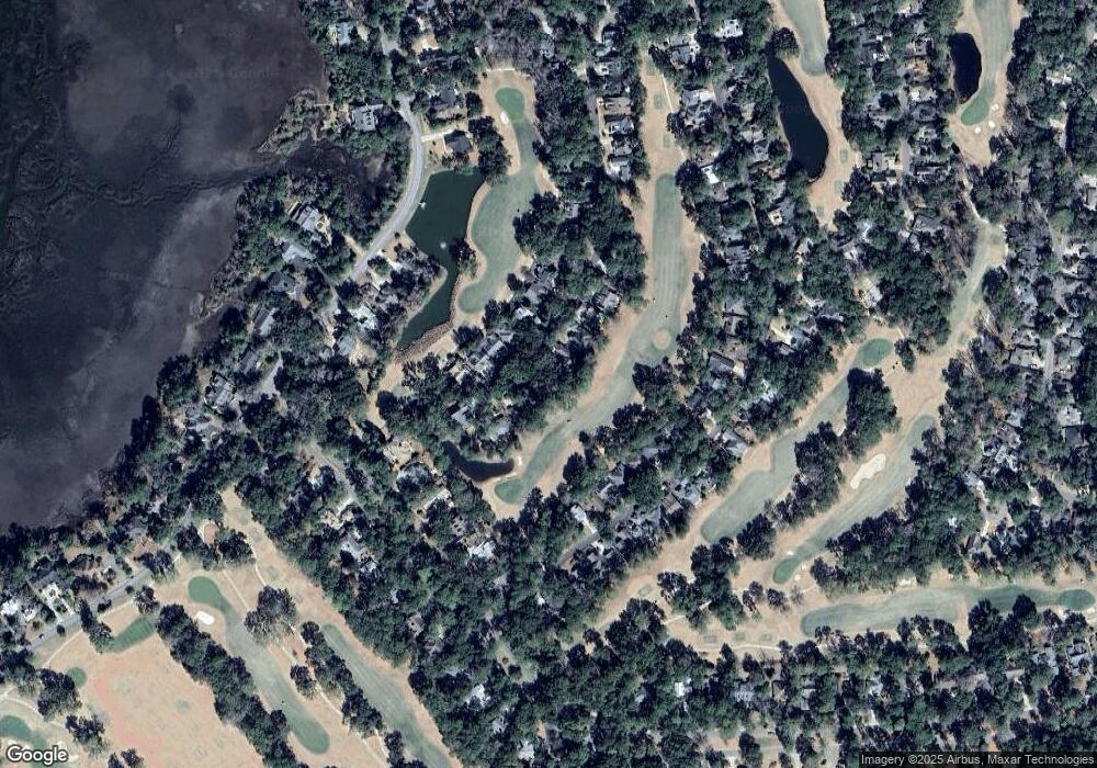
31 S Boone Dr Dataw Island, SC 29920
Estimated Value: $36,106 - $227,000
--
Bed
--
Bath
--
Sq Ft
7,841
Sq Ft Lot
About This Home
This home is located at 31 S Boone Dr, Dataw Island, SC 29920 and is currently estimated at $121,035. 31 S Boone Dr is a home located in Beaufort County with nearby schools including St. Helena Elementary School, Lady's Island Middle School, and Beaufort High School.
Ownership History
Date
Name
Owned For
Owner Type
Purchase Details
Closed on
Dec 8, 2022
Sold by
Glennon John E
Bought by
Tremblay Steven J and Tremblay Barbara L
Current Estimated Value
Purchase Details
Closed on
Oct 14, 2021
Sold by
Coombs John L and Coombs Kellie L
Bought by
Glennon John E and Glennon Katherine W
Purchase Details
Closed on
Jan 28, 2021
Sold by
Crowther Katherine R and Crowther Allan H
Bought by
Coombs John L and Coombs Kellie L
Purchase Details
Closed on
May 17, 2012
Sold by
Galvin James F and Murray Pamela M
Bought by
Crowther Katherine R and Allan Crowther H
Purchase Details
Closed on
Aug 16, 2002
Sold by
Alcoa South Carolina Inc
Bought by
Galvin James F and Murray Pamela M
Create a Home Valuation Report for This Property
The Home Valuation Report is an in-depth analysis detailing your home's value as well as a comparison with similar homes in the area
Home Values in the Area
Average Home Value in this Area
Purchase History
| Date | Buyer | Sale Price | Title Company |
|---|---|---|---|
| Tremblay Steven J | $29,000 | -- | |
| Glennon John E | $12,500 | None Available | |
| Coombs John L | $1,000 | None Available | |
| Crowther Katherine R | $7,000 | -- | |
| Galvin James F | $35,925 | -- |
Source: Public Records
Tax History Compared to Growth
Tax History
| Year | Tax Paid | Tax Assessment Tax Assessment Total Assessment is a certain percentage of the fair market value that is determined by local assessors to be the total taxable value of land and additions on the property. | Land | Improvement |
|---|---|---|---|---|
| 2024 | $535 | $1,670 | $0 | $0 |
| 2023 | $535 | $1,670 | $0 | $0 |
| 2022 | $103 | $500 | $0 | $0 |
| 2021 | $212 | $690 | $0 | $0 |
| 2020 | $206 | $690 | $0 | $0 |
| 2019 | $204 | $690 | $0 | $0 |
| 2018 | $188 | $690 | $0 | $0 |
| 2017 | $172 | $600 | $0 | $0 |
| 2016 | $169 | $600 | $0 | $0 |
| 2014 | $682 | $600 | $0 | $0 |
Source: Public Records
Map
Nearby Homes
- 34 S Boone Rd
- 117 Locust Fence Rd
- 58 S Boone Rd
- 152 Locust Fence Rd
- 374 Dataw Dr
- 161 Locust Fence Rd
- 2009 Bluff Villas Rd
- 251 Locust Fence Rd
- 2002 Bluff Villas Rd
- 823 Island Cir W
- 208 Locust Fence Rd
- 434 Bb Sams Dr
- 2024 Bluff Villas Rd
- 419 Bb Sams Dr
- 2 Doe Point
- 338 Westbrook Rd
- 444 Bb Sams Dr
- 454 Bb Sams Dr
- 1305 Rowland Dr
- 633 S Reeve Rd
- 31 S Boone Rd
- 27 S Boone Rd
- 19 S Boone Rd
- 35 S Boone Rd
- 18 S Boone Rd
- 22 S Boone Rd
- 14 S Boone Rd
- 39 S Boone Rd
- 15 S Boone Rd
- 10 S Boone Rd
- 26 S Boone Rd
- 43 S Boone Rd
- 30 S Boone Rd
- 116 Locust Fence Rd
- 118 Locust Fence Rd
- 114 Locust Fence Rd
- 120 Locust Fence Rd
- 47 S Boone Rd
- 112 Locust Fence Rd
- 110 Locust Fence Rd
