31 S Shore Dr Addison, MI 49220
Estimated Value: $489,000 - $622,000
2
Beds
3
Baths
2,364
Sq Ft
$223/Sq Ft
Est. Value
About This Home
This home is located at 31 S Shore Dr, Addison, MI 49220 and is currently estimated at $527,250, approximately $223 per square foot. 31 S Shore Dr is a home located in Lenawee County with nearby schools including Onsted Elementary School, Onsted Middle School, and Onsted Community High School.
Ownership History
Date
Name
Owned For
Owner Type
Purchase Details
Closed on
Jan 19, 2017
Sold by
Disser John W and Disser Maria-Elena
Bought by
Disser John W and Disser Maria-Elena
Current Estimated Value
Home Financials for this Owner
Home Financials are based on the most recent Mortgage that was taken out on this home.
Original Mortgage
$239,000
Outstanding Balance
$119,087
Interest Rate
4.13%
Mortgage Type
New Conventional
Estimated Equity
$408,163
Purchase Details
Closed on
Nov 5, 2014
Sold by
Disser John W and Disser Maria Elena
Bought by
Disser John W and Disser Maria Elena
Purchase Details
Closed on
Aug 17, 2012
Sold by
Disser Maria Elena
Bought by
Disser Martin Elena and Disser John W
Home Financials for this Owner
Home Financials are based on the most recent Mortgage that was taken out on this home.
Original Mortgage
$240,000
Interest Rate
3.54%
Mortgage Type
New Conventional
Purchase Details
Closed on
Dec 8, 1999
Bought by
Disser Maria Elena and Disser John W
Create a Home Valuation Report for This Property
The Home Valuation Report is an in-depth analysis detailing your home's value as well as a comparison with similar homes in the area
Purchase History
| Date | Buyer | Sale Price | Title Company |
|---|---|---|---|
| Disser John W | -- | -- | |
| Disser John W | $10,000 | None Available | |
| Disser Martin Elena | -- | None Available | |
| Disser Maria Elena | -- | -- |
Source: Public Records
Mortgage History
| Date | Status | Borrower | Loan Amount |
|---|---|---|---|
| Open | Disser John W | $239,000 | |
| Previous Owner | Disser Martin Elena | $240,000 |
Source: Public Records
Tax History
| Year | Tax Paid | Tax Assessment Tax Assessment Total Assessment is a certain percentage of the fair market value that is determined by local assessors to be the total taxable value of land and additions on the property. | Land | Improvement |
|---|---|---|---|---|
| 2025 | $2,340 | $227,000 | $0 | $0 |
| 2024 | $10 | $239,300 | $0 | $0 |
| 2023 | -- | $213,600 | $0 | $0 |
| 2022 | $2,112 | $150,700 | $0 | $0 |
| 2021 | $2,107 | $154,300 | $0 | $0 |
| 2020 | $2,001 | $140,900 | $0 | $0 |
| 2019 | $210,905 | $140,900 | $0 | $0 |
| 2018 | $1,923 | $66,210 | $0 | $0 |
| 2017 | $1,830 | $66,579 | $0 | $0 |
| 2016 | $1,818 | $65,547 | $0 | $0 |
| 2014 | -- | $51,083 | $0 | $0 |
Source: Public Records
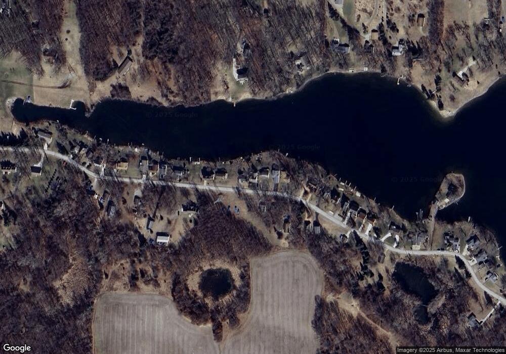
Map
Nearby Homes
- 10902 Devils Lake Hwy
- 15281 U S 12
- Lot 62 Pamawa Dr
- 61 Pamawa Dr
- 11000 Silver Lake Hwy
- 186 Harris Dr
- 16527 U S 12
- 9304 Parkhurst Hwy
- 10911 Devils Lake Hwy
- 8000 Parkhurst Hwy Unit Carroll Dr ((1175)
- 12677 U S 223
- 17475 U S 223
- 13161 Vischer Rd
- 5935 Tower Dr
- 599 Woodstock St
- 6820 Devils Lake Hwy
- 129 Kathy Ln
- 6770 Cement City Rd
- 261 Somerset Dr
- 215 Somerset Dr
- 29 S Shore Dr
- 28 S Shore Dr
- 30 S Shore Dr
- 34 S Shore Dr
- 32 S Shore Dr
- 33 S Shore Dr
- 33 S Shore Dr Unit across street 1/2 ac
- 37 S Shore Dr
- 35 S Shore Dr
- 38 S Shore Dr
- 40 S Shore Dr
- 40 S Shore Dr
- 43 S Shore Dr
- 42 S Shore Dr
- 45 S Shore Dr
- 44 S Shore Dr Unit 5
- 44 S Shore Dr
- 36 S Shore Dr
- 24 S Shore Dr
- 24 S Shore Dr
Your Personal Tour Guide
Ask me questions while you tour the home.