31 Sage Rd Woodbury, CT 06798
Estimated Value: $326,000 - $542,000
3
Beds
2
Baths
1,212
Sq Ft
$334/Sq Ft
Est. Value
About This Home
This home is located at 31 Sage Rd, Woodbury, CT 06798 and is currently estimated at $405,405, approximately $334 per square foot. 31 Sage Rd is a home located in Litchfield County with nearby schools including Mitchell Elementary School, Bethlehem Elementary School, and Woodbury Middle School.
Ownership History
Date
Name
Owned For
Owner Type
Purchase Details
Closed on
Jun 28, 2024
Sold by
Price Maria and Price Matthew
Bought by
Price Maria
Current Estimated Value
Purchase Details
Closed on
Feb 5, 2018
Sold by
Price Maria
Bought by
Price Maria and Price Matthew
Purchase Details
Closed on
Nov 23, 1981
Bought by
Wolff Margaret C
Create a Home Valuation Report for This Property
The Home Valuation Report is an in-depth analysis detailing your home's value as well as a comparison with similar homes in the area
Home Values in the Area
Average Home Value in this Area
Purchase History
| Date | Buyer | Sale Price | Title Company |
|---|---|---|---|
| Price Maria | -- | None Available | |
| Price Maria | -- | -- | |
| Wolff Margaret C | $38,500 | -- |
Source: Public Records
Mortgage History
| Date | Status | Borrower | Loan Amount |
|---|---|---|---|
| Previous Owner | Wolff Margaret C | $202,500 | |
| Previous Owner | Wolff Margaret C | $130,000 | |
| Previous Owner | Wolff Margaret C | $130,000 | |
| Previous Owner | Wolff Margaret C | $100,000 |
Source: Public Records
Tax History Compared to Growth
Tax History
| Year | Tax Paid | Tax Assessment Tax Assessment Total Assessment is a certain percentage of the fair market value that is determined by local assessors to be the total taxable value of land and additions on the property. | Land | Improvement |
|---|---|---|---|---|
| 2025 | $4,967 | $210,280 | $68,670 | $141,610 |
| 2024 | $4,872 | $210,280 | $68,670 | $141,610 |
| 2023 | $4,642 | $159,740 | $68,690 | $91,050 |
| 2022 | $4,660 | $159,740 | $68,690 | $91,050 |
| 2021 | $10,047 | $159,740 | $68,690 | $91,050 |
| 2020 | $4,660 | $159,740 | $68,690 | $91,050 |
| 2019 | $4,660 | $159,740 | $68,690 | $91,050 |
| 2018 | $6,401 | $173,850 | $77,020 | $96,830 |
| 2017 | $4,722 | $173,850 | $77,020 | $96,830 |
| 2016 | $4,571 | $173,850 | $77,020 | $96,830 |
| 2015 | $4,532 | $173,850 | $77,020 | $96,830 |
| 2014 | $4,466 | $173,850 | $77,020 | $96,830 |
Source: Public Records
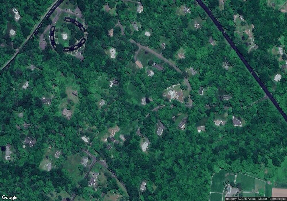
Map
Nearby Homes
- 36 Heritage Dr
- 225 Old Sherman Hill Rd
- 229 Bacon Pond Rd Unit 332
- 229 Bacon Pond Rd Unit 113
- 229 Bacon Pond Rd Unit 454
- 74 Middle Quarter Rd
- 223 Tuttle Rd
- 49 Scuppo Rd
- 52 Scuppo Rd
- 337 Main St S
- 60 Pomperaug Rd
- 84 Hurds Hill Rd
- 25 Curtiss Meadows
- 14 Mountain Rd
- 54 Mountain Rd
- 12 Spring St
- 6 Strong Field Rd
- 295 Old Woodbury Rd
- 34 Transylvania Rd
- 2 Judd Hill Rd
- 25 Sage Rd
- 44 Heritage Dr
- 153 Old Sherman Hill Rd
- 149 Old Sherman Hill Rd
- 62 Heritage Dr
- 24 Sage Rd
- 28 Heritage Dr
- 40 Sage Rd
- 18 Sage Rd
- 145 Old Sherman Hill Rd
- 41 Heritage Dr
- 49 Heritage Dr
- 55 Heritage Dr
- 35 Heritage Dr
- 63 Heritage Dr
- 135 Old Sherman Hill Rd
- 20 Heritage Dr
- 50 Sage Rd
- 23 Heritage Dr
- 58 Sage Rd