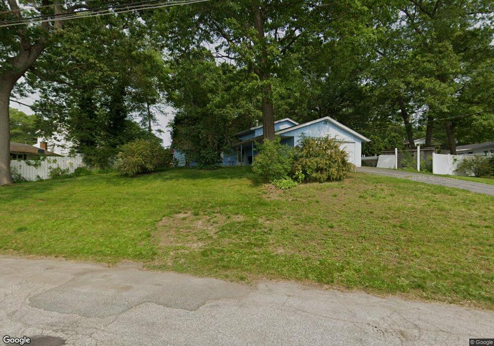
31 Schultz Rd Brockton, MA 02302
Estimated Value: $542,000 - $588,000
3
Beds
2
Baths
1,766
Sq Ft
$316/Sq Ft
Est. Value
About This Home
This home is located at 31 Schultz Rd, Brockton, MA 02302 and is currently estimated at $558,369, approximately $316 per square foot. 31 Schultz Rd is a home located in Plymouth County with nearby schools including Gilmore Elementary School, Davis K-8 School, and John F. Kennedy Elementary School.
Ownership History
Date
Name
Owned For
Owner Type
Purchase Details
Closed on
Sep 28, 2022
Sold by
Arnold Martha L and Arnold Bernard
Bought by
Schultz Road Rt
Current Estimated Value
Purchase Details
Closed on
Feb 21, 2012
Sold by
Arnold Martha L and Arnold Bernard
Bought by
Arnold Martha L and Arnold Bernard
Purchase Details
Closed on
Apr 4, 2008
Sold by
Arnold Martha C
Bought by
Arnold Martha C and Arnold Bernard
Home Financials for this Owner
Home Financials are based on the most recent Mortgage that was taken out on this home.
Original Mortgage
$256,000
Interest Rate
6.06%
Mortgage Type
Purchase Money Mortgage
Purchase Details
Closed on
Jun 1, 1987
Sold by
Joseph Walcott
Bought by
Arnold Bernard R
Home Financials for this Owner
Home Financials are based on the most recent Mortgage that was taken out on this home.
Original Mortgage
$69,900
Interest Rate
10.25%
Mortgage Type
Purchase Money Mortgage
Create a Home Valuation Report for This Property
The Home Valuation Report is an in-depth analysis detailing your home's value as well as a comparison with similar homes in the area
Purchase History
| Date | Buyer | Sale Price | Title Company |
|---|---|---|---|
| Schultz Road Rt | -- | None Available | |
| Arnold Martha L | -- | -- | |
| Arnold Martha C | -- | -- | |
| Arnold Bernard R | $139,900 | -- |
Source: Public Records
Mortgage History
| Date | Status | Borrower | Loan Amount |
|---|---|---|---|
| Previous Owner | Arnold Bernard R | $196,000 | |
| Previous Owner | Arnold Bernard R | $256,000 | |
| Previous Owner | Arnold Bernard R | $69,900 |
Source: Public Records
Tax History
| Year | Tax Paid | Tax Assessment Tax Assessment Total Assessment is a certain percentage of the fair market value that is determined by local assessors to be the total taxable value of land and additions on the property. | Land | Improvement |
|---|---|---|---|---|
| 2025 | $5,954 | $491,700 | $167,500 | $324,200 |
| 2024 | $5,719 | $475,800 | $167,500 | $308,300 |
| 2023 | $5,188 | $399,700 | $118,400 | $281,300 |
| 2022 | $4,922 | $352,300 | $107,700 | $244,600 |
| 2021 | $4,914 | $338,900 | $100,300 | $238,600 |
| 2020 | $4,854 | $320,400 | $87,400 | $233,000 |
| 2019 | $5,133 | $330,300 | $83,900 | $246,400 |
| 2018 | $4,155 | $286,100 | $83,900 | $202,200 |
| 2017 | $4,155 | $258,100 | $83,900 | $174,200 |
| 2016 | $3,861 | $222,400 | $80,100 | $142,300 |
| 2015 | $3,459 | $190,600 | $80,100 | $110,500 |
| 2014 | $3,604 | $198,800 | $80,100 | $118,700 |
Source: Public Records
Map
Nearby Homes
- 578 Plain St
- 23 Dondi Rd
- 118 Deanna Rd
- 15 Wachusetts Rd
- 12 Paulin Ave
- 1 Thomas Cir
- 549 Summer St
- 463 Pleasant St
- 31 Friendship Dr
- 111 Riverview St
- 16 Liberty St
- 9 Longworth Ave Unit 135
- 9 Longworth Ave Unit 113
- 15 Longworth Ave Unit 226
- 55 Marjan Dr
- 10 Colleen Way
- 25 Longworth Ave Unit 4
- 35 Longworth Ave Unit 25
- 16 Jason Way
- 41 Riverview St
Your Personal Tour Guide
Ask me questions while you tour the home.