31 Sesame St Rock Tavern, NY 12575
Estimated Value: $707,000 - $904,000
4
Beds
3
Baths
2,816
Sq Ft
$280/Sq Ft
Est. Value
About This Home
This home is located at 31 Sesame St, Rock Tavern, NY 12575 and is currently estimated at $788,752, approximately $280 per square foot. 31 Sesame St is a home located in Orange County with nearby schools including Washingtonville Middle School, Washingtonville High School, and Little Harvard Elementary Schools.
Ownership History
Date
Name
Owned For
Owner Type
Purchase Details
Closed on
Aug 26, 2016
Sold by
Ferrigno John
Bought by
Krogslund Paul
Current Estimated Value
Home Financials for this Owner
Home Financials are based on the most recent Mortgage that was taken out on this home.
Original Mortgage
$399,000
Outstanding Balance
$319,217
Interest Rate
3.48%
Mortgage Type
Purchase Money Mortgage
Estimated Equity
$469,535
Purchase Details
Closed on
Sep 4, 1996
Sold by
Argenio Genaro A
Bought by
Ferrigno John F and Ferrigno Maria A
Create a Home Valuation Report for This Property
The Home Valuation Report is an in-depth analysis detailing your home's value as well as a comparison with similar homes in the area
Home Values in the Area
Average Home Value in this Area
Purchase History
| Date | Buyer | Sale Price | Title Company |
|---|---|---|---|
| Krogslund Paul | $420,000 | Larry D Singer | |
| Ferrigno John F | $56,500 | -- |
Source: Public Records
Mortgage History
| Date | Status | Borrower | Loan Amount |
|---|---|---|---|
| Open | Krogslund Paul | $399,000 |
Source: Public Records
Tax History Compared to Growth
Tax History
| Year | Tax Paid | Tax Assessment Tax Assessment Total Assessment is a certain percentage of the fair market value that is determined by local assessors to be the total taxable value of land and additions on the property. | Land | Improvement |
|---|---|---|---|---|
| 2024 | $14,469 | $66,400 | $11,300 | $55,100 |
| 2023 | $14,469 | $66,400 | $11,300 | $55,100 |
| 2022 | $14,194 | $64,200 | $11,300 | $52,900 |
| 2021 | $14,161 | $64,200 | $11,300 | $52,900 |
| 2020 | $13,549 | $63,700 | $11,300 | $52,400 |
| 2019 | $13,493 | $63,700 | $11,300 | $52,400 |
| 2018 | $13,493 | $63,700 | $11,300 | $52,400 |
| 2017 | $12,995 | $63,700 | $11,300 | $52,400 |
| 2016 | $11,636 | $63,700 | $11,300 | $52,400 |
| 2015 | -- | $63,700 | $11,300 | $52,400 |
| 2014 | -- | $63,700 | $11,300 | $52,400 |
Source: Public Records
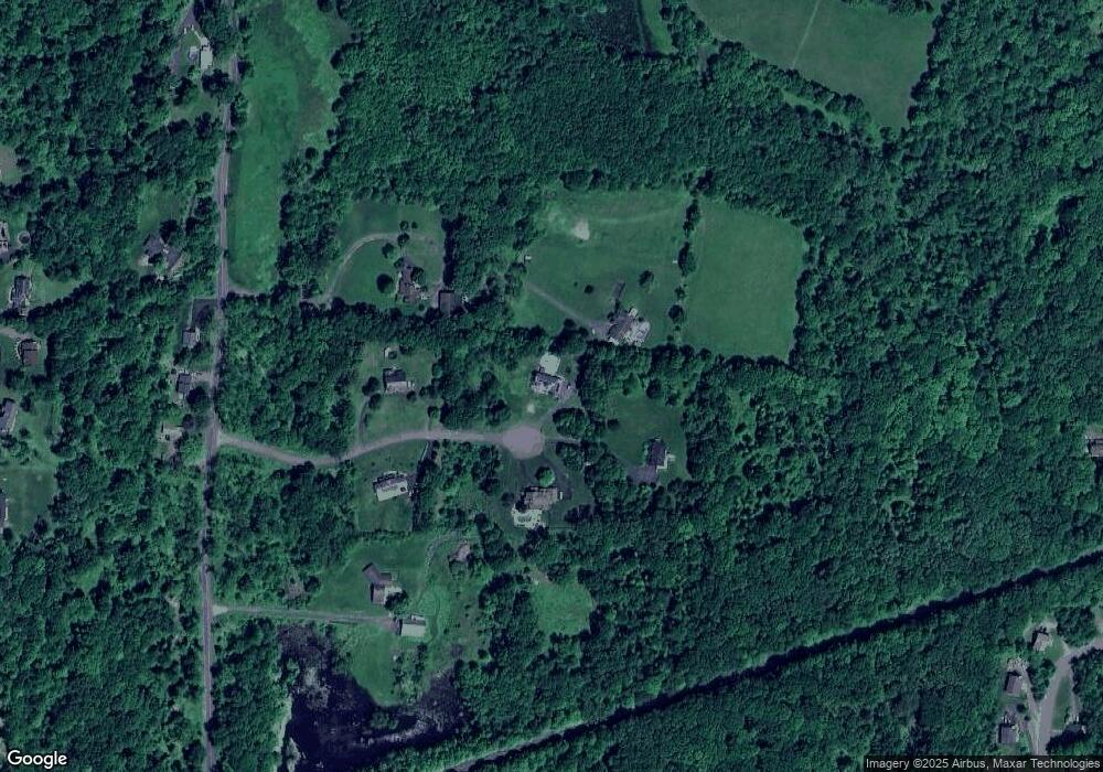
Map
Nearby Homes
- 223 Brittany Terrace
- 312 Brittany Terrace Unit 312
- 10 Willys Ct
- 128 Brittany Terrace Unit 128
- 24 Hillcrest Dr
- 257 Lake Rd
- 34 Melissa Ln
- 2 Melissa Ln
- 32 Valley Dr
- 106 Station Rd
- 62 Lakeside Dr
- 59 Luthien Forrest Rd
- 106 Station Rd
- 408 Bull Rd
- 168 Toleman Rd
- 545 Shore Dr
- 527 Toleman Rd
- 62 Station Rd
- 8 Oak Dr
- 17 Carpenter Rd