31 Shields Rd Darien, CT 06820
Estimated Value: $3,549,447 - $4,702,000
4
Beds
5
Baths
6,389
Sq Ft
$659/Sq Ft
Est. Value
About This Home
This home is located at 31 Shields Rd, Darien, CT 06820 and is currently estimated at $4,210,612, approximately $659 per square foot. 31 Shields Rd is a home located in Fairfield County with nearby schools including Royle Elementary School, Middlesex Middle School, and Darien High School.
Ownership History
Date
Name
Owned For
Owner Type
Purchase Details
Closed on
Dec 6, 2010
Sold by
Miller Graham D and Miller Tracy M
Bought by
Tuvlin David and Tuvlin Megan
Current Estimated Value
Home Financials for this Owner
Home Financials are based on the most recent Mortgage that was taken out on this home.
Original Mortgage
$417,000
Interest Rate
4.22%
Purchase Details
Closed on
Jan 29, 2004
Sold by
Sears Timothy D and Sears Lizabeth J
Bought by
Miller Graham D and Miller Tracy M
Purchase Details
Closed on
May 8, 1998
Sold by
Edgerton William H and Edgerton Ann S
Bought by
Sears Timothy D and Sears Lizabeth J
Create a Home Valuation Report for This Property
The Home Valuation Report is an in-depth analysis detailing your home's value as well as a comparison with similar homes in the area
Home Values in the Area
Average Home Value in this Area
Purchase History
| Date | Buyer | Sale Price | Title Company |
|---|---|---|---|
| Tuvlin David | $2,589,000 | -- | |
| Miller Graham D | $2,195,000 | -- | |
| Sears Timothy D | $1,100,000 | -- |
Source: Public Records
Mortgage History
| Date | Status | Borrower | Loan Amount |
|---|---|---|---|
| Open | Sears Timothy D | $412,000 | |
| Closed | Sears Timothy D | $417,000 | |
| Previous Owner | Sears Timothy D | $1,974,000 |
Source: Public Records
Tax History
| Year | Tax Paid | Tax Assessment Tax Assessment Total Assessment is a certain percentage of the fair market value that is determined by local assessors to be the total taxable value of land and additions on the property. | Land | Improvement |
|---|---|---|---|---|
| 2025 | $31,123 | $2,010,540 | $625,660 | $1,384,880 |
| 2024 | $29,448 | $2,004,660 | $625,660 | $1,379,000 |
| 2023 | $28,432 | $1,614,550 | $446,880 | $1,167,670 |
| 2022 | $27,819 | $1,614,550 | $446,880 | $1,167,670 |
| 2021 | $27,189 | $1,614,550 | $446,880 | $1,167,670 |
| 2020 | $26,414 | $1,614,550 | $446,880 | $1,167,670 |
| 2019 | $26,592 | $1,614,550 | $446,880 | $1,167,670 |
| 2018 | $29,191 | $1,815,380 | $519,540 | $1,295,840 |
| 2017 | $29,337 | $1,815,380 | $519,540 | $1,295,840 |
| 2016 | $28,629 | $1,815,380 | $519,540 | $1,295,840 |
| 2015 | $27,866 | $1,815,380 | $519,540 | $1,295,840 |
| 2014 | $27,249 | $1,815,380 | $519,540 | $1,295,840 |
Source: Public Records
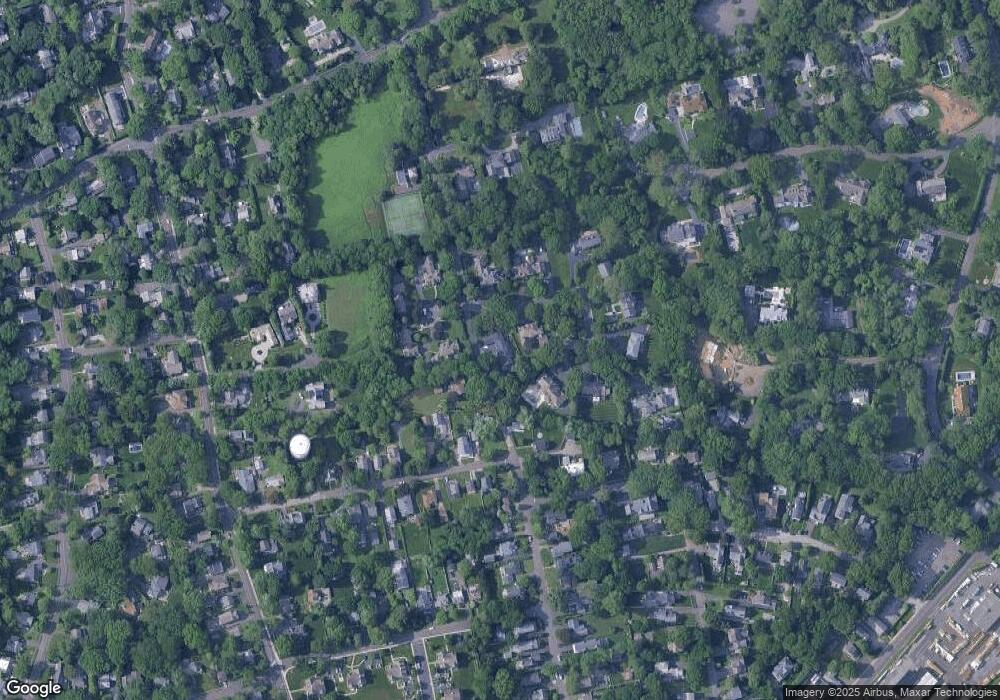
Map
Nearby Homes
- 5 Shields Ln
- 223 Middlesex Rd
- 3 Revere Rd
- 26 Holly Ln
- 10 Stony Brook Rd
- 166 Hollow Tree Ridge Rd
- 167 Hollow Tree Ridge Rd
- 15 Charles St
- 77 Maple St
- 11 Patton Dr
- 3 Hickory Ln
- 32 Relihan Rd
- 25 Lakeside Ave
- 12 Walmsley Rd
- 15 Waterbury Ln
- 66 Stanton Rd
- 25 Devon Rd
- 17 Sunnyside Ave
- 3 Salt Box Ln E
- 20 Locust Hill Rd
Your Personal Tour Guide
Ask me questions while you tour the home.