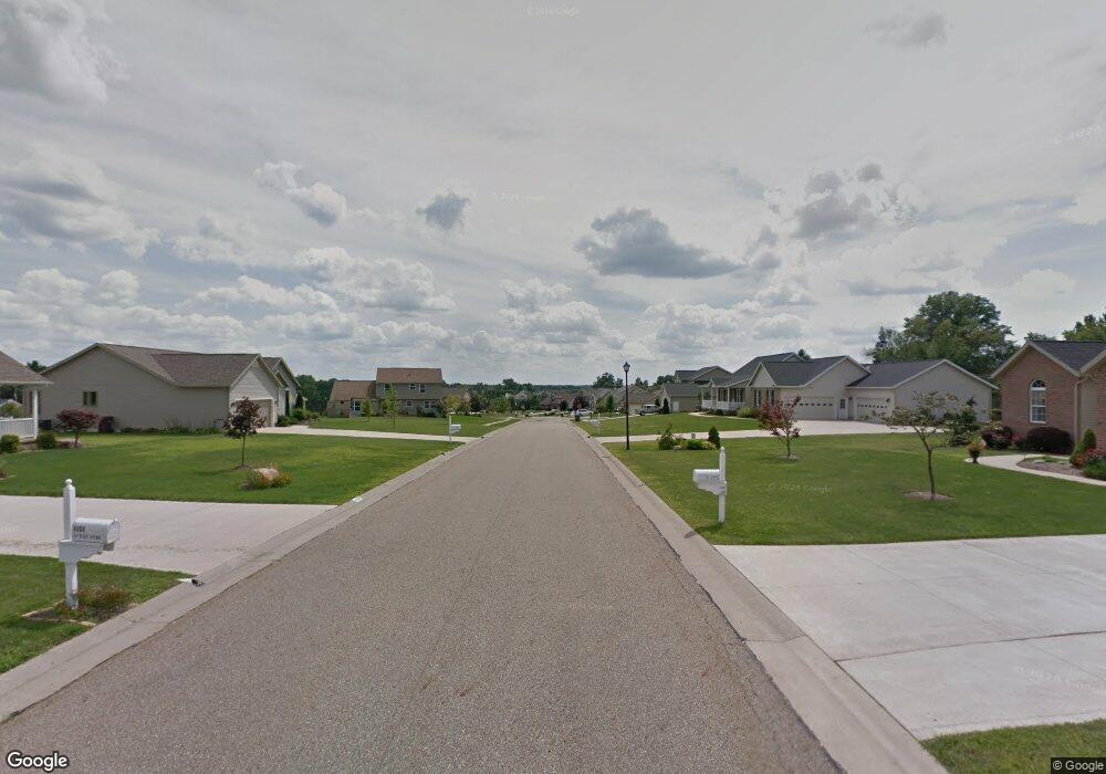
31 Sky Ridge Cir Canton, OH 44641
Estimated Value: $379,000 - $394,000
3
Beds
2
Baths
1,417
Sq Ft
$274/Sq Ft
Est. Value
About This Home
This home is located at 31 Sky Ridge Cir, Canton, OH 44641 and is currently estimated at $388,858, approximately $274 per square foot. 31 Sky Ridge Cir is a home located in Stark County with nearby schools including Louisville High School, East Branch Preparatory Academy Wright Preparatory Academy, and St. Thomas Aquinas High School & Middle School.
Ownership History
Date
Name
Owned For
Owner Type
Purchase Details
Closed on
Feb 27, 2018
Sold by
Crockett Homes Inc
Bought by
Thatcher Isaac S and Thatcher Carly M
Current Estimated Value
Home Financials for this Owner
Home Financials are based on the most recent Mortgage that was taken out on this home.
Original Mortgage
$246,783
Outstanding Balance
$209,483
Interest Rate
3.99%
Mortgage Type
VA
Estimated Equity
$179,375
Purchase Details
Closed on
Aug 17, 2015
Sold by
Munson Land Corp
Bought by
Crockett Homes Inc
Home Financials for this Owner
Home Financials are based on the most recent Mortgage that was taken out on this home.
Original Mortgage
$22,000
Interest Rate
4.08%
Mortgage Type
New Conventional
Create a Home Valuation Report for This Property
The Home Valuation Report is an in-depth analysis detailing your home's value as well as a comparison with similar homes in the area
Home Values in the Area
Average Home Value in this Area
Purchase History
| Date | Buyer | Sale Price | Title Company |
|---|---|---|---|
| Thatcher Isaac S | $238,900 | American Title Associates Ag | |
| Crockett Homes Inc | $24,000 | Attorney |
Source: Public Records
Mortgage History
| Date | Status | Borrower | Loan Amount |
|---|---|---|---|
| Open | Thatcher Isaac S | $246,783 | |
| Closed | Crockett Homes Inc | $22,000 |
Source: Public Records
Tax History Compared to Growth
Tax History
| Year | Tax Paid | Tax Assessment Tax Assessment Total Assessment is a certain percentage of the fair market value that is determined by local assessors to be the total taxable value of land and additions on the property. | Land | Improvement |
|---|---|---|---|---|
| 2025 | -- | $125,830 | $21,770 | $104,060 |
| 2024 | -- | $125,830 | $21,770 | $104,060 |
| 2023 | $4,901 | $99,160 | $17,990 | $81,170 |
| 2022 | $4,738 | $96,040 | $17,990 | $78,050 |
| 2021 | $4,748 | $96,040 | $17,990 | $78,050 |
| 2020 | $4,009 | $85,580 | $16,210 | $69,370 |
| 2019 | $62 | $85,580 | $16,210 | $69,370 |
| 2018 | $4,120 | $85,580 | $16,210 | $69,370 |
| 2017 | $3,766 | $74,590 | $13,860 | $60,730 |
| 2016 | $437 | $7,740 | $7,740 | $0 |
| 2015 | $682 | $12,360 | $12,360 | $0 |
| 2014 | $656 | $10,960 | $10,960 | $0 |
| 2013 | $330 | $10,960 | $10,960 | $0 |
Source: Public Records
Map
Nearby Homes
- 6030 Holderman Ave
- 5623 Shallow Creek Ave
- 5109 Columbus Rd NE
- 0 Pilot Knob Ave NE
- 3951 Glenoak Dr NE
- 5208 Oakridge Dr
- 6150 Pilot View Cir
- 6210 Columbus Rd NE
- 1561 Noel St
- 5700 Glena St
- 6079 Eastlawn St NE
- Goldenrod Plan at Orchard Park - Aspire Single Family Collection
- Forsythia Plan at Orchard Park - Aspire Single Family Collection
- Oleander Plan at Orchard Park - Aspire Single Family Collection
- Water Lily Plan at Orchard Park - Aspire Single Family Collection
- Beckfield Plan at Orchard Park - Aspire Townhome Collection
- 424 Honeycrisp Dr NE
- 2974 Mcintosh Dr NE
- 2969 Mcintosh Dr NE
- 2975 Mcintosh Dr NE
- 5852 Sky Ridge Ave NE
- 5852 Sky Ridge NE
- 5856 Sky Ridge Ave NE
- 65 Sky Ridge Ave NE
- 31 Sky Ridge Ave NE
- 31 Lot Sky Ridge Ave NE
- 65 Lot Sky Ridge Ave NE
- 5857 Sky Ridge Ave NE
- 5870 Sky Ridge Ave NE
- 5808 Shallow Creek Ave
- 5869 Sky Ridge Ave NE
- 5885 Sky Ridge Ave NE
- 5910 Sky Ridge Ave NE
- 5524 Columbus Rd NE
- 5790 Shallow Creek Ave
- 5801 Shallow Creek Ave
- 5929 Star Park Cir NE
- 5913 Sky Ridge Ave NE
- 5411 Columbus Rd
- 5930 Sky Ridge Ave NE