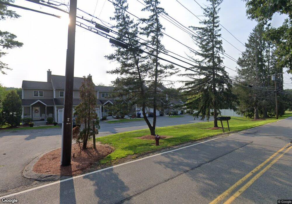
31 Solomon Pond Rd Unit B Northborough, MA 01532
Estimated Value: $502,621 - $564,000
3
Beds
2
Baths
2,066
Sq Ft
$261/Sq Ft
Est. Value
About This Home
This home is located at 31 Solomon Pond Rd Unit B, Northborough, MA 01532 and is currently estimated at $539,655, approximately $261 per square foot. 31 Solomon Pond Rd Unit B is a home located in Worcester County with nearby schools including Marion E. Zeh Elementary School, Robert E. Melican Middle School, and Algonquin Regional High School.
Ownership History
Date
Name
Owned For
Owner Type
Purchase Details
Closed on
Jan 23, 1995
Sold by
Kieler Thomas I
Bought by
Scavone Timothy
Current Estimated Value
Home Financials for this Owner
Home Financials are based on the most recent Mortgage that was taken out on this home.
Original Mortgage
$135,000
Interest Rate
9.16%
Mortgage Type
Purchase Money Mortgage
Create a Home Valuation Report for This Property
The Home Valuation Report is an in-depth analysis detailing your home's value as well as a comparison with similar homes in the area
Home Values in the Area
Average Home Value in this Area
Purchase History
| Date | Buyer | Sale Price | Title Company |
|---|---|---|---|
| Scavone Timothy | $142,500 | -- |
Source: Public Records
Mortgage History
| Date | Status | Borrower | Loan Amount |
|---|---|---|---|
| Open | Scavone Timothy | $176,000 | |
| Closed | Scavone Timothy | $135,000 |
Source: Public Records
Tax History Compared to Growth
Tax History
| Year | Tax Paid | Tax Assessment Tax Assessment Total Assessment is a certain percentage of the fair market value that is determined by local assessors to be the total taxable value of land and additions on the property. | Land | Improvement |
|---|---|---|---|---|
| 2025 | $4,828 | $338,800 | $0 | $338,800 |
| 2024 | $4,710 | $329,800 | $0 | $329,800 |
| 2023 | $4,504 | $304,500 | $0 | $304,500 |
| 2022 | $4,395 | $266,500 | $0 | $266,500 |
| 2021 | $4,283 | $250,200 | $0 | $250,200 |
| 2020 | $4,285 | $248,400 | $0 | $248,400 |
| 2019 | $4,027 | $234,800 | $0 | $234,800 |
| 2018 | $3,841 | $220,900 | $0 | $220,900 |
| 2017 | $3,709 | $213,300 | $0 | $213,300 |
| 2016 | $3,537 | $206,000 | $0 | $206,000 |
| 2015 | $3,821 | $228,400 | $0 | $228,400 |
| 2014 | $4,272 | $257,500 | $0 | $257,500 |
Source: Public Records
Map
Nearby Homes
- 13 Deacon St
- 460 Whitney St
- 14 Vanessa Dr
- 405 Whitney St
- 281 Whitney St
- 6 Vanessa Dr
- 18 Alden Dr Unit 3
- 490 Main St Unit 301
- 490 Main St Unit 101
- 6 Silas Dr
- 6 Macalister Dr
- 85 Hudson St Unit 85
- 107 Washburn St
- 26 Maple St
- 86 Whitney St
- 0 Newton St
- 75 Newton St
- 129 Bartlett St
- 38 Mohawk Dr
- 54 Evelina Dr
- 31 Solomon Pond Rd Unit A
- 27 Solomon Pond Rd Unit E
- 27 Solomon Pond Rd Unit D
- 27 Solomon Pond Rd Unit C
- 27 Solomon Pond Rd Unit B
- 27 Solomon Pond Rd Unit A
- 27 Solomon Pond Rd
- 17 Howe Ln
- 13 Howe Ln
- 15 Solomon Pond Rd
- 9 Howe Ln
- 11 Solomon Pond Rd
- 5 Howe Ln
- 24 Solomon Pond Rd
- 26 Solomon Pond Rd
- 30 Solomon Pond Rd
- 32 Solomon Pond Rd
- 1 Howe Ln
- 20 Solomon Pond Rd
- 12 Solomon Pond Rd Unit 16