31 Southgate Rd Unit 31 Westford, MA 01886
Estimated Value: $674,000 - $764,000
2
Beds
3
Baths
1,714
Sq Ft
$422/Sq Ft
Est. Value
About This Home
This home is located at 31 Southgate Rd Unit 31, Westford, MA 01886 and is currently estimated at $722,561, approximately $421 per square foot. 31 Southgate Rd Unit 31 is a home located in Middlesex County with nearby schools including Col John Robinson, John A. Crisafulli Elementary School, and Blanchard Middle School.
Ownership History
Date
Name
Owned For
Owner Type
Purchase Details
Closed on
Aug 15, 2019
Sold by
Kudva Ulhas L Est
Bought by
Bantwal Sheela P
Current Estimated Value
Purchase Details
Closed on
Mar 31, 2010
Sold by
Awmw Llc
Bought by
Kudva Ulhas
Home Financials for this Owner
Home Financials are based on the most recent Mortgage that was taken out on this home.
Original Mortgage
$320,300
Interest Rate
4.94%
Mortgage Type
Purchase Money Mortgage
Create a Home Valuation Report for This Property
The Home Valuation Report is an in-depth analysis detailing your home's value as well as a comparison with similar homes in the area
Home Values in the Area
Average Home Value in this Area
Purchase History
| Date | Buyer | Sale Price | Title Company |
|---|---|---|---|
| Bantwal Sheela P | -- | -- | |
| Kudva Ulhas | $355,900 | -- |
Source: Public Records
Mortgage History
| Date | Status | Borrower | Loan Amount |
|---|---|---|---|
| Previous Owner | Kudva Ulhas | $320,300 |
Source: Public Records
Tax History Compared to Growth
Tax History
| Year | Tax Paid | Tax Assessment Tax Assessment Total Assessment is a certain percentage of the fair market value that is determined by local assessors to be the total taxable value of land and additions on the property. | Land | Improvement |
|---|---|---|---|---|
| 2025 | $8,754 | $635,700 | $0 | $635,700 |
| 2024 | $8,754 | $635,700 | $0 | $635,700 |
| 2023 | $9,004 | $610,000 | $0 | $610,000 |
| 2022 | $9,762 | $605,600 | $0 | $605,600 |
| 2021 | $9,042 | $543,400 | $0 | $543,400 |
| 2020 | $8,901 | $545,100 | $0 | $545,100 |
| 2019 | $8,161 | $492,800 | $0 | $492,800 |
| 2018 | $7,974 | $492,800 | $0 | $492,800 |
| 2017 | $7,698 | $469,100 | $0 | $469,100 |
| 2016 | $6,869 | $421,400 | $0 | $421,400 |
| 2015 | $5,926 | $364,900 | $0 | $364,900 |
| 2014 | $5,664 | $341,200 | $0 | $341,200 |
Source: Public Records
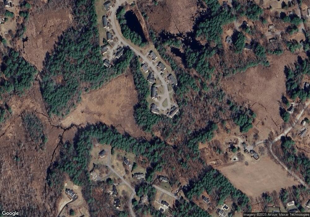
Map
Nearby Homes
- 14 Fieldstone Dr
- 1 Fieldstone Dr
- 22 Carlisle Rd
- 17 Carlisle Rd
- 4 Drew Crossing
- 7 Little Bear Hill Rd
- 20 4th Ln
- 14 Banbury Dr
- 5 Carriage Dr
- 75 Garrison Rd
- 122 Carlisle Rd
- 9 Lakeside Ave
- 4 Fairview Dr
- 360 Littleton Rd Unit B-1
- 360 Littleton Rd Unit F1
- 92 Jimney Dr
- 1 Lawton Ave
- 209 New Yorker Ave
- 4 Sinbad Ln
- 9 Autumn Ln
- 33 Southgate Rd Unit 33
- 33 Southgate Rd Unit 32
- 25 Southgate Rd Unit 28
- 25 Southgate Rd Unit 25
- 27 Southgate Rd Unit 29
- 29 Southgate Rd Unit 30
- 30 Southgate Rd Unit 30
- 30 Southgate Rd Unit 34
- 32 Southgate Rd Unit 33
- 23 Southgate Rd
- 21 Southgate Rd
- 23 Southgate Rd Unit 23
- 23 Southgate Rd Unit 27
- 21 Southgate Rd Unit 26
- 26 Southgate Rd Unit 36
- 19 Southgate Rd
- 17 Southgate Rd
- 19 Southgate Rd Unit 19
- 19 Southgate Rd Unit 25
- 17 Southgate Rd Unit 24