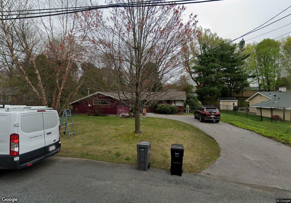
31 Springhill Rd Framingham, MA 01701
Saxonville NeighborhoodEstimated Value: $562,000 - $601,000
3
Beds
2
Baths
1,415
Sq Ft
$411/Sq Ft
Est. Value
About This Home
This home is located at 31 Springhill Rd, Framingham, MA 01701 and is currently estimated at $582,131, approximately $411 per square foot. 31 Springhill Rd is a home located in Middlesex County with nearby schools including Framingham High School, Christa McAuliffe Charter School, and MetroWest Jewish Day School.
Ownership History
Date
Name
Owned For
Owner Type
Purchase Details
Closed on
Apr 11, 2011
Sold by
Schoeff Lucy and Schoeff Michael
Bought by
Schoeff Rosa L
Current Estimated Value
Purchase Details
Closed on
Nov 2, 1998
Sold by
Williams Peggy
Bought by
Schoeff Rosa L and Schoeff Lucy
Home Financials for this Owner
Home Financials are based on the most recent Mortgage that was taken out on this home.
Original Mortgage
$130,000
Interest Rate
6.68%
Mortgage Type
Purchase Money Mortgage
Create a Home Valuation Report for This Property
The Home Valuation Report is an in-depth analysis detailing your home's value as well as a comparison with similar homes in the area
Home Values in the Area
Average Home Value in this Area
Purchase History
| Date | Buyer | Sale Price | Title Company |
|---|---|---|---|
| Schoeff Rosa L | -- | -- | |
| Schoeff Rosa L | $173,000 | -- |
Source: Public Records
Mortgage History
| Date | Status | Borrower | Loan Amount |
|---|---|---|---|
| Open | Schoeff Rosa L | $167,000 | |
| Previous Owner | Schoeff Rosa L | $130,000 |
Source: Public Records
Tax History Compared to Growth
Tax History
| Year | Tax Paid | Tax Assessment Tax Assessment Total Assessment is a certain percentage of the fair market value that is determined by local assessors to be the total taxable value of land and additions on the property. | Land | Improvement |
|---|---|---|---|---|
| 2025 | $5,987 | $501,400 | $262,800 | $238,600 |
| 2024 | $5,689 | $456,600 | $234,700 | $221,900 |
| 2023 | $5,398 | $412,400 | $209,500 | $202,900 |
| 2022 | $5,095 | $370,800 | $190,100 | $180,700 |
| 2021 | $4,916 | $349,900 | $182,700 | $167,200 |
| 2020 | $4,834 | $322,700 | $166,000 | $156,700 |
| 2019 | $4,774 | $310,400 | $166,000 | $144,400 |
| 2018 | $4,681 | $286,800 | $159,800 | $127,000 |
| 2017 | $4,594 | $274,900 | $155,200 | $119,700 |
| 2016 | $4,500 | $258,900 | $155,200 | $103,700 |
| 2015 | $4,496 | $252,300 | $155,100 | $97,200 |
Source: Public Records
Map
Nearby Homes
- 36 Brownlea Rd
- 154 Danforth St
- 11 Danforth Park Rd
- 10 Victoria Garden Unit A
- 29 Derby St
- 1376 Concord St
- 447 Old Connecticut Path
- 8 Elm St Unit 8A
- 454 Old Connecticut Path
- 30 Donlon St
- 233 Lakeshore Dr
- 71 Nicholas Rd Unit H
- 81 Nicholas Rd Unit B
- 163 Water St
- 24 Pinewood Dr
- 19 Park Ave
- 217 Central St
- 123 Dudley Rd
- 108 Cherry St
- 11 Longview Rd
- 29 Springhill Rd
- 33 Springhill Rd
- 24 Mayflower Rd
- 22 Mayflower Rd
- 22 Mayflower Rd Unit 22
- 38 Brownlea Rd
- 27 Springhill Rd
- 34 Springhill Rd
- 32 Springhill Rd
- 35 Springhill Rd
- 40 Brownlea Rd
- 20 Mayflower Rd
- 36 Springhill Rd
- 25 Springhill Rd
- 30 Springhill Rd
- 37 Springhill Rd
- 23 Mayflower Rd
- 21 Mayflower Rd
- 18 Mayflower Rd
- 39 Brownlea Rd