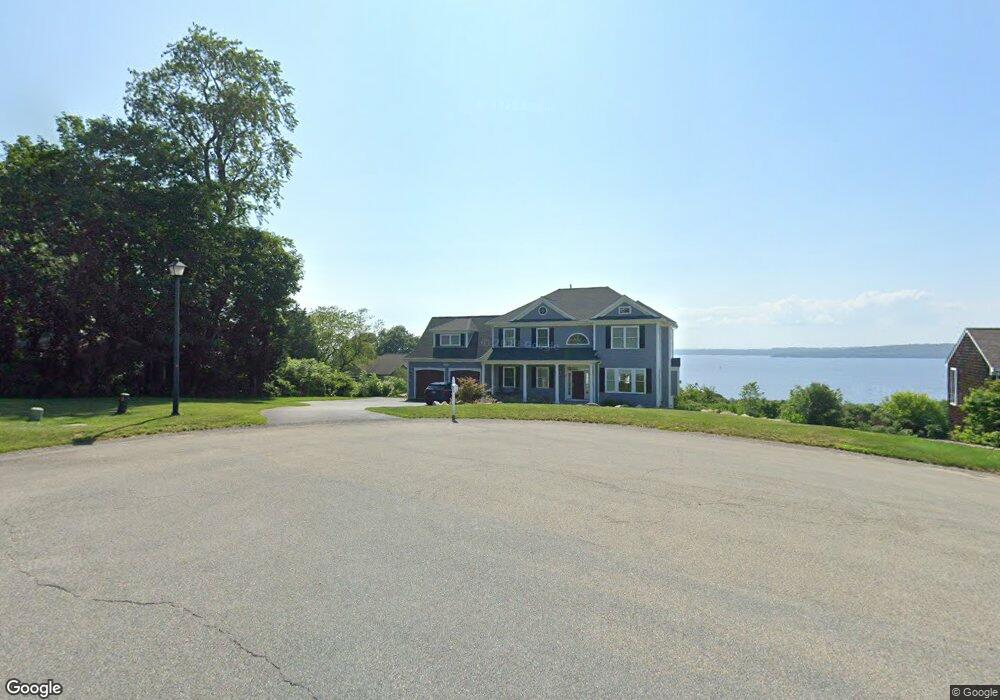
31 Starlit Rd Tiverton, RI 02878
North Tiverton NeighborhoodEstimated Value: $794,000 - $1,573,493
3
Beds
3
Baths
3,238
Sq Ft
$378/Sq Ft
Est. Value
About This Home
This home is located at 31 Starlit Rd, Tiverton, RI 02878 and is currently estimated at $1,225,373, approximately $378 per square foot. 31 Starlit Rd is a home with nearby schools including Tiverton High School, Argosy Collegiate Charter School, and Saint Stanislaus School.
Ownership History
Date
Name
Owned For
Owner Type
Purchase Details
Closed on
Oct 31, 2017
Sold by
Thompson John W and Thompson Patricia A
Bought by
Stonebridge Building & D
Current Estimated Value
Home Financials for this Owner
Home Financials are based on the most recent Mortgage that was taken out on this home.
Original Mortgage
$425,000
Outstanding Balance
$355,469
Interest Rate
3.78%
Mortgage Type
Commercial
Estimated Equity
$869,904
Purchase Details
Closed on
May 18, 2006
Sold by
1850 Silas Deane Assoc
Bought by
Thompson John and Thompson Patricia
Create a Home Valuation Report for This Property
The Home Valuation Report is an in-depth analysis detailing your home's value as well as a comparison with similar homes in the area
Home Values in the Area
Average Home Value in this Area
Purchase History
| Date | Buyer | Sale Price | Title Company |
|---|---|---|---|
| Stonebridge Building & D | $215,000 | -- | |
| Thompson John | $385,000 | -- |
Source: Public Records
Mortgage History
| Date | Status | Borrower | Loan Amount |
|---|---|---|---|
| Open | Stonebridge Building & D | $425,000 |
Source: Public Records
Tax History Compared to Growth
Tax History
| Year | Tax Paid | Tax Assessment Tax Assessment Total Assessment is a certain percentage of the fair market value that is determined by local assessors to be the total taxable value of land and additions on the property. | Land | Improvement |
|---|---|---|---|---|
| 2025 | $13,605 | $1,231,200 | $517,400 | $713,800 |
| 2024 | $13,605 | $1,231,200 | $517,400 | $713,800 |
| 2023 | $11,626 | $780,300 | $329,200 | $451,100 |
| 2022 | $11,416 | $780,300 | $329,200 | $451,100 |
| 2021 | $11,135 | $780,300 | $329,200 | $451,100 |
| 2020 | $3,610 | $223,000 | $198,000 | $25,000 |
| 2019 | $3,126 | $198,000 | $198,000 | $0 |
| 2018 | $3,245 | $198,000 | $198,000 | $0 |
| 2017 | $3,772 | $198,000 | $198,000 | $0 |
| 2016 | $3,790 | $198,000 | $198,000 | $0 |
| 2015 | $4,737 | $247,500 | $247,500 | $0 |
| 2014 | $4,777 | $247,500 | $247,500 | $0 |
Source: Public Records
Map
Nearby Homes
- 25 Starlit Rd
- 21 Starlit Rd
- 164 Haskins Ave
- 184 Haskins Ave
- 154 Haskins Ave
- 30 Haskins Ave
- 161 Haskins Ave
- 28 Starlit Rd
- 2 Bismark Ave
- 11 Starlit Rd
- 14 Bismark Ave
- 153 Haskins Ave
- 46 Miles Ave
- 138 Haskins Ave
- 15 Bismark Ave
- 15 Bismark Ave
- 10 Starlit Rd
- 0 Starlit Rd Unit 1332782
- 0 Starlit Rd Unit 962977
- 0 Starlit Rd Unit 1097955