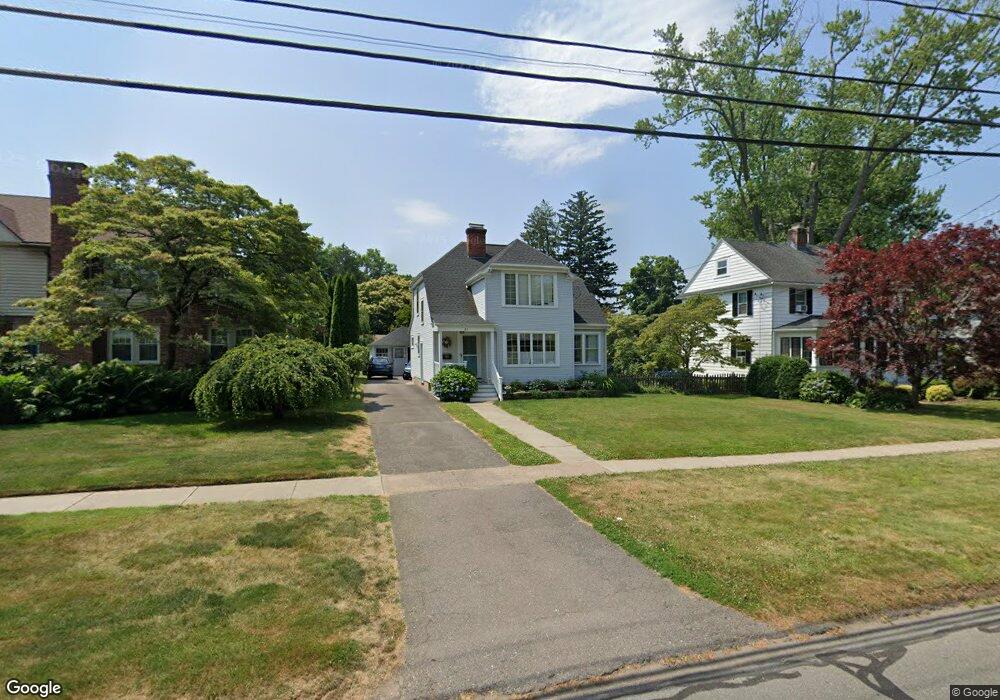
31 State St Wethersfield, CT 06109
Estimated Value: $446,000 - $602,000
3
Beds
2
Baths
1,786
Sq Ft
$289/Sq Ft
Est. Value
About This Home
This home is located at 31 State St, Wethersfield, CT 06109 and is currently estimated at $515,534, approximately $288 per square foot. 31 State St is a home located in Hartford County with nearby schools including Alfred W. Hanmer School, Silas Deane Middle School, and Wethersfield High School.
Ownership History
Date
Name
Owned For
Owner Type
Purchase Details
Closed on
Jul 21, 2011
Sold by
Sheridan Colleen
Bought by
Hinman Peter and Hinman Sara
Current Estimated Value
Home Financials for this Owner
Home Financials are based on the most recent Mortgage that was taken out on this home.
Original Mortgage
$177,500
Interest Rate
4.49%
Purchase Details
Closed on
Jul 16, 2008
Sold by
Ferguson Bettina B
Bought by
Sherinan Colleen
Purchase Details
Closed on
May 25, 2001
Sold by
Mitchell Malcolm A and Mitchell Bettylou C
Bought by
Bronisz Bettina M
Home Financials for this Owner
Home Financials are based on the most recent Mortgage that was taken out on this home.
Original Mortgage
$184,000
Interest Rate
7.05%
Create a Home Valuation Report for This Property
The Home Valuation Report is an in-depth analysis detailing your home's value as well as a comparison with similar homes in the area
Home Values in the Area
Average Home Value in this Area
Purchase History
| Date | Buyer | Sale Price | Title Company |
|---|---|---|---|
| Hinman Peter | $277,500 | -- | |
| Sherinan Colleen | $287,402 | -- | |
| Bronisz Bettina M | $230,000 | -- |
Source: Public Records
Mortgage History
| Date | Status | Borrower | Loan Amount |
|---|---|---|---|
| Open | Bronisz Bettina M | $200,000 | |
| Closed | Bronisz Bettina M | $177,500 | |
| Previous Owner | Bronisz Bettina M | $184,000 | |
| Previous Owner | Bronisz Bettina M | $35,000 |
Source: Public Records
Tax History
| Year | Tax Paid | Tax Assessment Tax Assessment Total Assessment is a certain percentage of the fair market value that is determined by local assessors to be the total taxable value of land and additions on the property. | Land | Improvement |
|---|---|---|---|---|
| 2025 | $11,580 | $280,920 | $122,220 | $158,700 |
| 2024 | $7,768 | $179,740 | $74,210 | $105,530 |
| 2023 | $7,510 | $179,740 | $74,210 | $105,530 |
| 2022 | $7,384 | $179,740 | $74,210 | $105,530 |
| 2021 | $7,310 | $179,740 | $74,210 | $105,530 |
| 2020 | $7,314 | $179,740 | $74,210 | $105,530 |
| 2019 | $7,323 | $179,740 | $74,210 | $105,530 |
| 2018 | $7,373 | $180,800 | $68,500 | $112,300 |
| 2017 | $7,190 | $180,800 | $68,500 | $112,300 |
| 2016 | $6,968 | $180,800 | $68,500 | $112,300 |
| 2015 | $6,905 | $180,800 | $68,500 | $112,300 |
| 2014 | $6,643 | $180,800 | $68,500 | $112,300 |
Source: Public Records
Map
Nearby Homes
- 493 Main St
- 317 Garden St Unit 319
- 1 Fernwood St
- 18 Avalon Place
- 87 Somerset St
- 91 Somerset St
- 192 Wolcott Hill Rd
- 219 Jordan Ln Unit 221
- 35 Stillwold Dr
- 108 Chamberlain Rd
- 147 Spring St
- 28 Bolton St
- 704 Franklin Ave
- 131 Coleman Rd
- 17 Montauk Rd
- 2 Montauk Rd
- 90 Goodwin Park Rd
- 195 Middletown Ave
- 15 Sioux Rd
- 298 Naubuc Ave
Your Personal Tour Guide
Ask me questions while you tour the home.