31 Stonewall Dr Wiscasset, ME 04578
Estimated Value: $562,000 - $687,000
2
Beds
2
Baths
2,236
Sq Ft
$288/Sq Ft
Est. Value
About This Home
This home is located at 31 Stonewall Dr, Wiscasset, ME 04578 and is currently estimated at $644,633, approximately $288 per square foot. 31 Stonewall Dr is a home located in Lincoln County with nearby schools including Sheepscot Valley Children's House.
Ownership History
Date
Name
Owned For
Owner Type
Purchase Details
Closed on
Jun 30, 2008
Sold by
Davignon Patti G
Bought by
Marchildon Stephen J and Rowan Christiane
Current Estimated Value
Home Financials for this Owner
Home Financials are based on the most recent Mortgage that was taken out on this home.
Original Mortgage
$400,000
Outstanding Balance
$258,052
Interest Rate
6.07%
Mortgage Type
Purchase Money Mortgage
Estimated Equity
$386,581
Purchase Details
Closed on
May 3, 2005
Sold by
Warren Harold G
Bought by
Davignon Patti G
Create a Home Valuation Report for This Property
The Home Valuation Report is an in-depth analysis detailing your home's value as well as a comparison with similar homes in the area
Home Values in the Area
Average Home Value in this Area
Purchase History
| Date | Buyer | Sale Price | Title Company |
|---|---|---|---|
| Marchildon Stephen J | -- | -- | |
| Davignon Patti G | -- | -- | |
| Davignon Patti G | -- | -- |
Source: Public Records
Mortgage History
| Date | Status | Borrower | Loan Amount |
|---|---|---|---|
| Open | Marchildon Stephen J | $400,000 |
Source: Public Records
Tax History Compared to Growth
Tax History
| Year | Tax Paid | Tax Assessment Tax Assessment Total Assessment is a certain percentage of the fair market value that is determined by local assessors to be the total taxable value of land and additions on the property. | Land | Improvement |
|---|---|---|---|---|
| 2024 | $7,380 | $415,300 | $114,200 | $301,100 |
| 2023 | $7,081 | $415,300 | $114,200 | $301,100 |
| 2022 | $6,671 | $332,200 | $91,300 | $240,900 |
| 2021 | $6,684 | $332,200 | $91,300 | $240,900 |
| 2020 | $6,259 | $311,100 | $91,300 | $219,800 |
| 2019 | $5,771 | $290,000 | $91,300 | $198,700 |
| 2018 | $5,670 | $290,000 | $91,300 | $198,700 |
| 2017 | $5,440 | $290,000 | $91,300 | $198,700 |
| 2016 | $5,426 | $290,000 | $91,300 | $198,700 |
| 2015 | $4,756 | $290,000 | $91,300 | $198,700 |
| 2014 | $4,930 | $290,000 | $91,300 | $198,700 |
| 2013 | $4,698 | $290,000 | $91,300 | $198,700 |
Source: Public Records
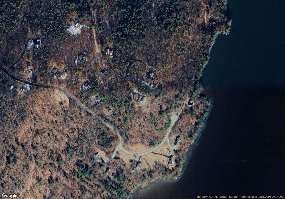
Map
Nearby Homes
- 105 Old Sheepscot Rd
- Lot # 0 Deer Ridge Rd
- R05-58A W Alna Rd
- 977 Alna Rd
- 48 Us Route 1
- 27 Dodge Rd
- 3 Langdon Rd
- 306 Eddy Rd Unit 310
- 306 Eddy Rd Unit 307
- 306 Eddy Rd Unit 309
- 11 Island Ln Unit 1
- 8 Foye Rd
- 10 Foye Rd
- 22 Sand Hill Rd
- 304 Eddy Rd Unit 216
- 67 Village Way Unit 505
- 200 Main St
- 18 High St
- 114 Fort Rd
- 18 Churchill St
- 30 Stonewall Dr
- 96 Brown Rd
- 86 Brown Rd
- 35 Sheepscot Shores Rd
- 25 Harrison Ln
- Lot 4 Brown Rd
- 11 Sheepscot Shores Rd
- 26 Sheepscot Shores Rd
- 0 Sheepscot Shores Rd
- 11 Harrison Ln
- 25 Sheepscot Shores Rd
- 37 Harrison Ln
- 17 Sheepscot Shores Rd
- 0 Harrison Ln
- 9 Sheepscot Shores Rd
- 36 Harrison Ln
- 32 Harrison Ln
- 121 Brown Rd
- 2 Harrison Ln
- 0A Harrison Ln